May 26 - July 31

Numerical Forecasting of Banded Snow: A Case Study
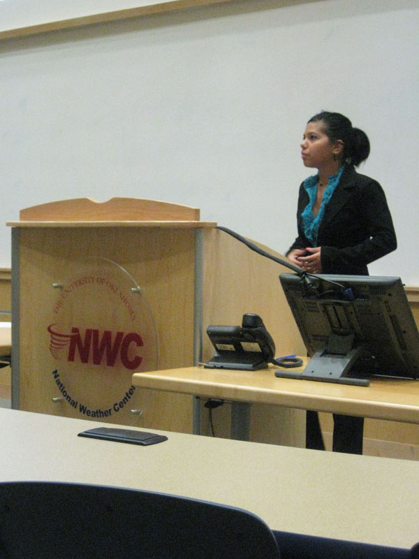
Astrid Suarez, Heather Reeves, and Michael Congilio
Abstract:
Banded snow is challenging to forecast using numerical models because the bands have varying temporal and spatial scales. Although numerous ingredients-based forecasting strategies have been developed, their successful application relies on accurate forecasting of the location and intensity of the ingredients themselves. One possible way to improve numerical forecasts of banded snow or banding indicators is through the use of convection-permitting and/or ensemble modeling techniques. The study examines three forecasts of a banded snow event in association with a shallow, short-lived low-pressure system over southern Indiana on 3 February 2009. The forecasts include two single deterministic experiments with 12- and 3- km grid spacing (S12km and S3km, respectively) and a 30-member 12 km ensemble forecast with a 12-h data assimilation training period (EnKF12km). Of the three experiments, the ensemble mean of EnKF12km provides the best forecast of the position and strength of the surface low pressure. Banding ingredients, including frontogenesis and low-level moisture, are also considered; and again, the EnKF12km experiment provides the best forecast of the position of these fields. The convection-permitting simulation, on the other hand, positions the indicators slightly too far to the south, but resolves the northwest to southeast oriented bands over southern Indiana. These findings are consistent with previous studies that suggest for spring time mesoscale convective systems the most effective forecasting strategy is to couple high-resolution and ensemble forecasts to assess the character and location of a given event, respectively.