Index of /micronet/WRF-UCM/FocusON_OKC/WRFV4.5.2/YSU/wrfchem4.5.2VPRM_Hu2021JGR_China.2024053018
Name
Last modified
Size
Description
Parent Directory
-
namelist.input
2024-05-30 17:31
12K
wrfout_d01_2024-05-3..>
2024-05-30 17:51
7.1K
wrfout_d01_2024-05-3..>
2024-05-30 17:51
77K
wrf_CrossSection_CH4..>
2024-05-30 17:51
14K
wrf_CrossSection_CH4..>
2024-05-30 17:51
14K
wrfout_d01_2024-05-3..>
2024-05-30 17:51
2.0K
wrfout_d01_w_vertica..>
2024-05-30 17:51
234K
wrfout_d01_w_vertica..>
2024-05-30 17:51
283K
wrfout_d01_2024-05-3..>
2024-05-30 17:51
310K
wrfout_d01_PBLH_0.png
2024-05-30 17:51
204K
wrfout_d01_SMOIS_0.png
2024-05-30 17:51
271K
wrfout_d01_SWDOWN_0.png
2024-05-30 17:51
208K
wrfout_d01_Q2_0.png
2024-05-30 17:51
235K
wrfout_d01_TSK_0.png
2024-05-30 17:51
249K
wrfout_d01_SST_0.png
2024-05-30 17:51
294K
wrfout_d01_HFX_0.png
2024-05-30 17:51
207K
wrfout_d01_LH_0.png
2024-05-30 17:51
206K
wrfout_d01_T2_0.png
2024-05-30 17:51
293K
wrfout_d01_WSP10m_0.png
2024-05-30 17:51
356K
wrfout_d01_UST_0.png
2024-05-30 17:51
228K
wrfout_d01_EXCH_H_0.png
2024-05-30 17:51
231K
wrfout_d01_WSP950hPa..>
2024-05-30 17:51
249K
wrfout_d01_WSP950hPa..>
2024-05-30 17:51
51K
wrfout_d01_WSP900hPa..>
2024-05-30 17:51
198K
wrfout_d01_WSP800hPa..>
2024-05-30 17:51
234K
wrfout_d01_WSP700hPa..>
2024-05-30 17:51
256K
wrfout_d01_integrate..>
2024-05-30 17:51
174K
wrfout_d01_CO2_BIOpl..>
2024-05-30 17:51
341K
wrfout_d01_avo_800_0..>
2024-05-30 17:51
313K
wrfout_d01_geoHeight..>
2024-05-30 17:51
300K
wrfout_d01_geoHeight..>
2024-05-30 17:51
321K
wrfout_d01_geoHeight..>
2024-05-30 17:51
290K
wrfout_d01_geoHeight..>
2024-05-30 17:51
196K
wrfout_d01_geoHeight..>
2024-05-30 17:51
301K
wrfout_d01_Temperatu..>
2024-05-30 17:51
286K
wrfout_d01_mdbz_0.png
2024-05-30 17:51
232K
wrfout_d01_EBIO_RES_..>
2024-05-30 17:51
222K
wrfout_d01_EBIO_GEE_..>
2024-05-30 17:51
223K
wrfout_d01_EBIO_NEE_..>
2024-05-30 17:51
222K
wrfout_d01_EVI_0.png
2024-05-30 17:51
142K
wrfout_d01_E_CO2_0.png
2024-05-30 17:51
142K
wrfout_d01_w_vertica..>
2024-05-30 17:51
333K
wrfout_d01_w_vertica..>
2024-05-30 17:51
314K
wrfout_d01_2024-05-3..>
2024-05-30 17:51
343K
wrfout_d01_PBLH_1.png
2024-05-30 17:51
279K
wrfout_d01_SMOIS_1.png
2024-05-30 17:51
274K
wrfout_d01_SWDOWN_1.png
2024-05-30 17:51
149K
wrfout_d01_Q2_1.png
2024-05-30 17:51
244K
wrfout_d01_TSK_1.png
2024-05-30 17:51
253K
wrfout_d01_SST_1.png
2024-05-30 17:51
298K
wrfout_d01_HFX_1.png
2024-05-30 17:51
320K
wrfout_d01_LH_1.png
2024-05-30 17:51
235K
wrfout_d01_T2_1.png
2024-05-30 17:51
313K
wrfout_d01_WSP10m_1.png
2024-05-30 17:51
397K
wrfout_d01_UST_1.png
2024-05-30 17:51
419K
wrfout_d01_EXCH_H_1.png
2024-05-30 17:51
458K
wrfout_d01_WSP950hPa..>
2024-05-30 17:51
256K
wrfout_d01_WSP950hPa..>
2024-05-30 17:51
51K
wrfout_d01_WSP900hPa..>
2024-05-30 17:51
210K
wrfout_d01_WSP800hPa..>
2024-05-30 17:51
240K
wrfout_d01_WSP700hPa..>
2024-05-30 17:51
256K
wrfout_d01_integrate..>
2024-05-30 17:51
240K
wrfout_d01_CO2_BIOpl..>
2024-05-30 17:51
381K
wrfout_d01_avo_800_1..>
2024-05-30 17:51
316K
wrfout_d01_geoHeight..>
2024-05-30 17:51
298K
wrfout_d01_geoHeight..>
2024-05-30 17:51
310K
wrfout_d01_geoHeight..>
2024-05-30 17:51
291K
wrfout_d01_geoHeight..>
2024-05-30 17:51
198K
wrfout_d01_geoHeight..>
2024-05-30 17:52
299K
wrfout_d01_Temperatu..>
2024-05-30 17:52
288K
wrfout_d01_mdbz_1.png
2024-05-30 17:52
310K
wrfout_d01_EBIO_RES_..>
2024-05-30 17:52
353K
wrfout_d01_EBIO_GEE_..>
2024-05-30 17:52
227K
wrfout_d01_EBIO_NEE_..>
2024-05-30 17:52
226K
wrfout_d01_EVI_1.png
2024-05-30 17:52
232K
wrfout_d01_E_CO2_1.png
2024-05-30 17:52
268K
wrfout_d01_w_vertica..>
2024-05-30 17:52
336K
wrfout_d01_w_vertica..>
2024-05-30 17:52
317K
wrfout_d01_2024-05-3..>
2024-05-30 17:52
341K
wrfout_d01_PBLH_2.png
2024-05-30 17:52
289K
wrfout_d01_SMOIS_2.png
2024-05-30 17:52
276K
wrfout_d01_SWDOWN_2.png
2024-05-30 17:52
151K
wrfout_d01_Q2_2.png
2024-05-30 17:52
245K
wrfout_d01_TSK_2.png
2024-05-30 17:52
256K
wrfout_d01_SST_2.png
2024-05-30 17:52
300K
wrfout_d01_HFX_2.png
2024-05-30 17:52
327K
wrfout_d01_LH_2.png
2024-05-30 17:52
238K
wrfout_d01_T2_2.png
2024-05-30 17:52
316K
wrfout_d01_WSP10m_2.png
2024-05-30 17:52
410K
wrfout_d01_UST_2.png
2024-05-30 17:52
434K
wrfout_d01_EXCH_H_2.png
2024-05-30 17:52
479K
wrfout_d01_WSP950hPa..>
2024-05-30 17:52
262K
wrfout_d01_WSP950hPa..>
2024-05-30 17:52
51K
wrfout_d01_WSP900hPa..>
2024-05-30 17:52
215K
wrfout_d01_WSP800hPa..>
2024-05-30 17:52
244K
wrfout_d01_WSP700hPa..>
2024-05-30 17:52
261K
wrfout_d01_integrate..>
2024-05-30 17:52
263K
wrfout_d01_CO2_BIOpl..>
2024-05-30 17:52
394K
wrfout_d01_avo_800_2..>
2024-05-30 17:52
319K
wrfout_d01_geoHeight..>
2024-05-30 17:52
296K
wrfout_d01_geoHeight..>
2024-05-30 17:52
311K
wrfout_d01_geoHeight..>
2024-05-30 17:52
290K
wrfout_d01_geoHeight..>
2024-05-30 17:52
201K
wrfout_d01_geoHeight..>
2024-05-30 17:52
299K
wrfout_d01_Temperatu..>
2024-05-30 17:52
289K
wrfout_d01_mdbz_2.png
2024-05-30 17:52
349K
wrfout_d01_EBIO_RES_..>
2024-05-30 17:52
357K
wrfout_d01_EBIO_GEE_..>
2024-05-30 17:52
231K
wrfout_d01_EBIO_NEE_..>
2024-05-30 17:52
230K
wrfout_d01_EVI_2.png
2024-05-30 17:52
232K
wrfout_d01_E_CO2_2.png
2024-05-30 17:52
269K
wrfout_d01_w_vertica..>
2024-05-30 17:52
339K
wrfout_d01_w_vertica..>
2024-05-30 17:52
321K
wrfout_d01_2024-05-3..>
2024-05-30 17:52
343K
wrfout_d01_PBLH_3.png
2024-05-30 17:52
295K
wrfout_d01_SMOIS_3.png
2024-05-30 17:52
277K
wrfout_d01_SWDOWN_3.png
2024-05-30 17:52
166K
wrfout_d01_Q2_3.png
2024-05-30 17:52
246K
wrfout_d01_TSK_3.png
2024-05-30 17:52
250K
wrfout_d01_SST_3.png
2024-05-30 17:52
300K
wrfout_d01_HFX_3.png
2024-05-30 17:52
330K
wrfout_d01_LH_3.png
2024-05-30 17:52
240K
wrfout_d01_T2_3.png
2024-05-30 17:52
317K
wrfout_d01_WSP10m_3.png
2024-05-30 17:52
416K
wrfout_d01_UST_3.png
2024-05-30 17:52
440K
wrfout_d01_EXCH_H_3.png
2024-05-30 17:52
496K
wrfout_d01_WSP950hPa..>
2024-05-30 17:52
266K
wrfout_d01_WSP950hPa..>
2024-05-30 17:52
51K
wrfout_d01_WSP900hPa..>
2024-05-30 17:52
220K
wrfout_d01_WSP800hPa..>
2024-05-30 17:52
249K
wrfout_d01_WSP700hPa..>
2024-05-30 17:52
264K
wrfout_d01_integrate..>
2024-05-30 17:52
271K
wrfout_d01_CO2_BIOpl..>
2024-05-30 17:52
394K
wrfout_d01_avo_800_3..>
2024-05-30 17:52
322K
wrfout_d01_geoHeight..>
2024-05-30 17:52
297K
wrfout_d01_geoHeight..>
2024-05-30 17:52
312K
wrfout_d01_geoHeight..>
2024-05-30 17:52
291K
wrfout_d01_geoHeight..>
2024-05-30 17:52
202K
wrfout_d01_geoHeight..>
2024-05-30 17:52
301K
wrfout_d01_Temperatu..>
2024-05-30 17:52
291K
wrfout_d01_mdbz_3.png
2024-05-30 17:52
360K
wrfout_d01_EBIO_RES_..>
2024-05-30 17:52
357K
wrfout_d01_EBIO_GEE_..>
2024-05-30 17:52
234K
wrfout_d01_EBIO_NEE_..>
2024-05-30 17:52
230K
wrfout_d01_EVI_3.png
2024-05-30 17:52
232K
wrfout_d01_E_CO2_3.png
2024-05-30 17:52
268K
wrfout_d01_w_vertica..>
2024-05-30 17:52
345K
wrfout_d01_w_vertica..>
2024-05-30 17:52
325K
wrfout_d01_2024-05-3..>
2024-05-30 17:52
341K
wrfout_d01_PBLH_4.png
2024-05-30 17:52
299K
wrfout_d01_SMOIS_4.png
2024-05-30 17:52
277K
wrfout_d01_SWDOWN_4.png
2024-05-30 17:52
193K
wrfout_d01_Q2_4.png
2024-05-30 17:52
246K
wrfout_d01_TSK_4.png
2024-05-30 17:52
250K
wrfout_d01_SST_4.png
2024-05-30 17:52
300K
wrfout_d01_HFX_4.png
2024-05-30 17:52
334K
wrfout_d01_LH_4.png
2024-05-30 17:52
244K
wrfout_d01_T2_4.png
2024-05-30 17:52
314K
wrfout_d01_WSP10m_4.png
2024-05-30 17:52
419K
wrfout_d01_UST_4.png
2024-05-30 17:52
447K
wrfout_d01_EXCH_H_4.png
2024-05-30 17:52
516K
wrfout_d01_WSP950hPa..>
2024-05-30 17:52
266K
wrfout_d01_WSP950hPa..>
2024-05-30 17:52
51K
wrfout_d01_WSP900hPa..>
2024-05-30 17:52
222K
wrfout_d01_WSP800hPa..>
2024-05-30 17:52
249K
wrfout_d01_WSP700hPa..>
2024-05-30 17:52
265K
wrfout_d01_integrate..>
2024-05-30 17:52
274K
wrfout_d01_CO2_BIOpl..>
2024-05-30 17:52
394K
wrfout_d01_avo_800_4..>
2024-05-30 17:52
320K
wrfout_d01_geoHeight..>
2024-05-30 17:52
294K
wrfout_d01_geoHeight..>
2024-05-30 17:52
312K
wrfout_d01_geoHeight..>
2024-05-30 17:52
292K
wrfout_d01_geoHeight..>
2024-05-30 17:52
204K
wrfout_d01_geoHeight..>
2024-05-30 17:52
301K
wrfout_d01_Temperatu..>
2024-05-30 17:52
291K
wrfout_d01_mdbz_4.png
2024-05-30 17:52
363K
wrfout_d01_EBIO_RES_..>
2024-05-30 17:52
358K
wrfout_d01_EBIO_GEE_..>
2024-05-30 17:52
248K
wrfout_d01_EBIO_NEE_..>
2024-05-30 17:52
238K
wrfout_d01_EVI_4.png
2024-05-30 17:52
232K
wrfout_d01_E_CO2_4.png
2024-05-30 17:52
268K
wrfout_d01_w_vertica..>
2024-05-30 17:52
343K
wrfout_d01_w_vertica..>
2024-05-30 17:52
327K
wrfout_d01_2024-05-3..>
2024-05-30 17:52
340K
wrfout_d01_PBLH_5.png
2024-05-30 17:52
310K
wrfout_d01_SMOIS_5.png
2024-05-30 17:52
279K
wrfout_d01_SWDOWN_5.png
2024-05-30 17:52
240K
wrfout_d01_Q2_5.png
2024-05-30 17:52
248K
wrfout_d01_TSK_5.png
2024-05-30 17:52
250K
wrfout_d01_SST_5.png
2024-05-30 17:52
300K
wrfout_d01_HFX_5.png
2024-05-30 17:52
340K
wrfout_d01_LH_5.png
2024-05-30 17:52
260K
wrfout_d01_T2_5.png
2024-05-30 17:52
312K
wrfout_d01_WSP10m_5.png
2024-05-30 17:52
417K
wrfout_d01_UST_5.png
2024-05-30 17:52
451K
wrfout_d01_EXCH_H_5.png
2024-05-30 17:52
374K
wrfout_d01_WSP950hPa..>
2024-05-30 17:52
263K
wrfout_d01_WSP950hPa..>
2024-05-30 17:52
51K
wrfout_d01_WSP900hPa..>
2024-05-30 17:52
223K
wrfout_d01_WSP800hPa..>
2024-05-30 17:52
250K
wrfout_d01_WSP700hPa..>
2024-05-30 17:52
268K
wrfout_d01_integrate..>
2024-05-30 17:52
277K
wrfout_d01_CO2_BIOpl..>
2024-05-30 17:52
397K
wrfout_d01_avo_800_5..>
2024-05-30 17:52
321K
wrfout_d01_geoHeight..>
2024-05-30 17:52
297K
wrfout_d01_geoHeight..>
2024-05-30 17:52
317K
wrfout_d01_geoHeight..>
2024-05-30 17:52
292K
wrfout_d01_geoHeight..>
2024-05-30 17:52
205K
wrfout_d01_geoHeight..>
2024-05-30 17:52
299K
wrfout_d01_Temperatu..>
2024-05-30 17:52
294K
wrfout_d01_mdbz_5.png
2024-05-30 17:52
363K
wrfout_d01_EBIO_RES_..>
2024-05-30 17:52
360K
wrfout_d01_EBIO_GEE_..>
2024-05-30 17:52
284K
wrfout_d01_EBIO_NEE_..>
2024-05-30 17:52
256K
wrfout_d01_EVI_5.png
2024-05-30 17:52
232K
wrfout_d01_E_CO2_5.png
2024-05-30 17:52
268K
wrfout_d01_w_vertica..>
2024-05-30 17:52
342K
wrfout_d01_w_vertica..>
2024-05-30 17:52
327K
wrfout_d01_2024-05-3..>
2024-05-30 17:53
343K
wrfout_d01_PBLH_6.png
2024-05-30 17:53
333K
wrfout_d01_SMOIS_6.png
2024-05-30 17:53
279K
wrfout_d01_SWDOWN_6.png
2024-05-30 17:53
285K
wrfout_d01_Q2_6.png
2024-05-30 17:53
247K
wrfout_d01_TSK_6.png
2024-05-30 17:53
254K
wrfout_d01_SST_6.png
2024-05-30 17:53
301K
wrfout_d01_HFX_6.png
2024-05-30 17:53
336K
wrfout_d01_LH_6.png
2024-05-30 17:53
292K
wrfout_d01_T2_6.png
2024-05-30 17:53
307K
wrfout_d01_WSP10m_6.png
2024-05-30 17:53
417K
wrfout_d01_UST_6.png
2024-05-30 17:53
452K
wrfout_d01_EXCH_H_6.png
2024-05-30 17:53
420K
wrfout_d01_WSP950hPa..>
2024-05-30 17:53
259K
wrfout_d01_WSP950hPa..>
2024-05-30 17:53
50K
wrfout_d01_WSP900hPa..>
2024-05-30 17:53
222K
wrfout_d01_WSP800hPa..>
2024-05-30 17:53
249K
wrfout_d01_WSP700hPa..>
2024-05-30 17:53
267K
wrfout_d01_integrate..>
2024-05-30 17:53
279K
wrfout_d01_CO2_BIOpl..>
2024-05-30 17:53
405K
wrfout_d01_avo_800_6..>
2024-05-30 17:53
320K
wrfout_d01_geoHeight..>
2024-05-30 17:53
296K
wrfout_d01_geoHeight..>
2024-05-30 17:53
316K
wrfout_d01_geoHeight..>
2024-05-30 17:53
293K
wrfout_d01_geoHeight..>
2024-05-30 17:53
204K
wrfout_d01_geoHeight..>
2024-05-30 17:53
300K
wrfout_d01_Temperatu..>
2024-05-30 17:53
292K
wrfout_d01_mdbz_6.png
2024-05-30 17:53
363K
wrfout_d01_EBIO_RES_..>
2024-05-30 17:53
365K
wrfout_d01_EBIO_GEE_..>
2024-05-30 17:53
325K
wrfout_d01_EBIO_NEE_..>
2024-05-30 17:53
286K
wrfout_d01_EVI_6.png
2024-05-30 17:53
232K
wrfout_d01_E_CO2_6.png
2024-05-30 17:53
268K
wrfout_d01_w_vertica..>
2024-05-30 17:53
342K
wrfout_d01_w_vertica..>
2024-05-30 17:53
322K
wrfout_d01_2024-05-3..>
2024-05-30 17:53
343K
wrfout_d01_PBLH_7.png
2024-05-30 17:53
365K
wrfout_d01_SMOIS_7.png
2024-05-30 17:53
282K
wrfout_d01_SWDOWN_7.png
2024-05-30 17:53
300K
wrfout_d01_Q2_7.png
2024-05-30 17:53
250K
wrfout_d01_TSK_7.png
2024-05-30 17:53
265K
wrfout_d01_SST_7.png
2024-05-30 17:53
303K
wrfout_d01_HFX_7.png
2024-05-30 17:53
343K
wrfout_d01_LH_7.png
2024-05-30 17:53
333K
wrfout_d01_T2_7.png
2024-05-30 17:53
305K
wrfout_d01_WSP10m_7.png
2024-05-30 17:53
416K
wrfout_d01_UST_7.png
2024-05-30 17:53
447K
wrfout_d01_EXCH_H_7.png
2024-05-30 17:53
466K
wrfout_d01_WSP950hPa..>
2024-05-30 17:53
258K
wrfout_d01_WSP950hPa..>
2024-05-30 17:53
50K
wrfout_d01_WSP900hPa..>
2024-05-30 17:53
221K
wrfout_d01_WSP800hPa..>
2024-05-30 17:53
249K
wrfout_d01_WSP700hPa..>
2024-05-30 17:53
262K
wrfout_d01_integrate..>
2024-05-30 17:53
281K
wrfout_d01_CO2_BIOpl..>
2024-05-30 17:53
412K
wrfout_d01_avo_800_7..>
2024-05-30 17:53
320K
wrfout_d01_geoHeight..>
2024-05-30 17:53
297K
wrfout_d01_geoHeight..>
2024-05-30 17:53
311K
wrfout_d01_geoHeight..>
2024-05-30 17:53
295K
wrfout_d01_geoHeight..>
2024-05-30 17:53
205K
wrfout_d01_geoHeight..>
2024-05-30 17:53
299K
wrfout_d01_Temperatu..>
2024-05-30 17:53
294K
wrfout_d01_mdbz_7.png
2024-05-30 17:53
369K
wrfout_d01_EBIO_RES_..>
2024-05-30 17:53
375K
wrfout_d01_EBIO_GEE_..>
2024-05-30 17:53
364K
wrfout_d01_EBIO_NEE_..>
2024-05-30 17:53
319K
wrfout_d01_EVI_7.png
2024-05-30 17:53
232K
wrfout_d01_E_CO2_7.png
2024-05-30 17:53
268K
wrfout_d01_w_vertica..>
2024-05-30 17:53
345K
wrfout_d01_w_vertica..>
2024-05-30 17:53
318K
wrfout_d01_2024-05-3..>
2024-05-30 17:53
338K
wrfout_d01_PBLH_8.png
2024-05-30 17:53
395K
wrfout_d01_SMOIS_8.png
2024-05-30 17:53
283K
wrfout_d01_SWDOWN_8.png
2024-05-30 17:53
349K
wrfout_d01_Q2_8.png
2024-05-30 17:53
252K
wrfout_d01_TSK_8.png
2024-05-30 17:53
295K
wrfout_d01_SST_8.png
2024-05-30 17:53
305K
wrfout_d01_HFX_8.png
2024-05-30 17:53
333K
wrfout_d01_LH_8.png
2024-05-30 17:53
369K
wrfout_d01_T2_8.png
2024-05-30 17:53
303K
wrfout_d01_WSP10m_8.png
2024-05-30 17:53
412K
wrfout_d01_UST_8.png
2024-05-30 17:53
436K
wrfout_d01_EXCH_H_8.png
2024-05-30 17:53
488K
wrfout_d01_WSP950hPa..>
2024-05-30 17:53
253K
wrfout_d01_WSP950hPa..>
2024-05-30 17:53
50K
wrfout_d01_WSP900hPa..>
2024-05-30 17:53
215K
wrfout_d01_WSP800hPa..>
2024-05-30 17:53
243K
wrfout_d01_WSP700hPa..>
2024-05-30 17:53
262K
wrfout_d01_integrate..>
2024-05-30 17:53
280K
wrfout_d01_CO2_BIOpl..>
2024-05-30 17:53
408K
wrfout_d01_avo_800_8..>
2024-05-30 17:53
314K
wrfout_d01_geoHeight..>
2024-05-30 17:53
294K
wrfout_d01_geoHeight..>
2024-05-30 17:53
313K
wrfout_d01_geoHeight..>
2024-05-30 17:53
292K
wrfout_d01_geoHeight..>
2024-05-30 17:53
203K
wrfout_d01_geoHeight..>
2024-05-30 17:53
299K
wrfout_d01_Temperatu..>
2024-05-30 17:53
288K
wrfout_d01_mdbz_8.png
2024-05-30 17:53
364K
wrfout_d01_EBIO_RES_..>
2024-05-30 17:53
382K
wrfout_d01_EBIO_GEE_..>
2024-05-30 17:53
388K
wrfout_d01_EBIO_NEE_..>
2024-05-30 17:53
344K
wrfout_d01_EVI_8.png
2024-05-30 17:53
232K
wrfout_d01_E_CO2_8.png
2024-05-30 17:53
268K
wrfout_d01_w_vertica..>
2024-05-30 17:53
353K
wrfout_d01_w_vertica..>
2024-05-30 17:53
311K
wrfout_d01_2024-05-3..>
2024-05-30 17:53
336K
wrfout_d01_PBLH_9.png
2024-05-30 17:53
418K
wrfout_d01_SMOIS_9.png
2024-05-30 17:53
283K
wrfout_d01_SWDOWN_9.png
2024-05-30 17:53
374K
wrfout_d01_Q2_9.png
2024-05-30 17:53
253K
wrfout_d01_TSK_9.png
2024-05-30 17:53
310K
wrfout_d01_SST_9.png
2024-05-30 17:53
305K
wrfout_d01_HFX_9.png
2024-05-30 17:53
312K
wrfout_d01_LH_9.png
2024-05-30 17:53
395K
wrfout_d01_T2_9.png
2024-05-30 17:53
297K
wrfout_d01_WSP10m_9.png
2024-05-30 17:53
406K
wrfout_d01_UST_9.png
2024-05-30 17:53
425K
wrfout_d01_EXCH_H_9.png
2024-05-30 17:53
487K
wrfout_d01_WSP950hPa..>
2024-05-30 17:53
247K
wrfout_d01_WSP950hPa..>
2024-05-30 17:53
51K
wrfout_d01_WSP900hPa..>
2024-05-30 17:53
206K
wrfout_d01_WSP800hPa..>
2024-05-30 17:53
237K
wrfout_d01_WSP700hPa..>
2024-05-30 17:53
257K
wrfout_d01_integrate..>
2024-05-30 17:53
278K
wrfout_d01_CO2_BIOpl..>
2024-05-30 17:53
402K
wrfout_d01_avo_800_9..>
2024-05-30 17:53
310K
wrfout_d01_geoHeight..>
2024-05-30 17:53
292K
wrfout_d01_geoHeight..>
2024-05-30 17:53
310K
wrfout_d01_geoHeight..>
2024-05-30 17:53
289K
wrfout_d01_geoHeight..>
2024-05-30 17:53
199K
wrfout_d01_geoHeight..>
2024-05-30 17:53
299K
wrfout_d01_Temperatu..>
2024-05-30 17:53
286K
wrfout_d01_mdbz_9.png
2024-05-30 17:53
362K
wrfout_d01_EBIO_RES_..>
2024-05-30 17:53
386K
wrfout_d01_EBIO_GEE_..>
2024-05-30 17:53
402K
wrfout_d01_EBIO_NEE_..>
2024-05-30 17:53
359K
wrfout_d01_EVI_9.png
2024-05-30 17:53
232K
wrfout_d01_E_CO2_9.png
2024-05-30 17:53
268K
wrfout_d01_w_vertica..>
2024-05-30 17:53
367K
wrfout_d01_w_vertica..>
2024-05-30 17:53
301K
wrfout_d01_2024-05-3..>
2024-05-30 17:53
336K
wrfout_d01_PBLH_10.png
2024-05-30 17:53
426K
wrfout_d01_SMOIS_10.png
2024-05-30 17:53
283K
wrfout_d01_SWDOWN_10..>
2024-05-30 17:53
391K
wrfout_d01_Q2_10.png
2024-05-30 17:53
252K
wrfout_d01_TSK_10.png
2024-05-30 17:53
322K
wrfout_d01_SST_10.png
2024-05-30 17:53
305K
wrfout_d01_HFX_10.png
2024-05-30 17:53
298K
wrfout_d01_LH_10.png
2024-05-30 17:53
409K
wrfout_d01_T2_10.png
2024-05-30 17:53
294K
wrfout_d01_WSP10m_10..>
2024-05-30 17:53
404K
wrfout_d01_UST_10.png
2024-05-30 17:53
418K
wrfout_d01_EXCH_H_10..>
2024-05-30 17:53
467K
wrfout_d01_WSP950hPa..>
2024-05-30 17:53
245K
wrfout_d01_WSP950hPa..>
2024-05-30 17:53
50K
wrfout_d01_WSP900hPa..>
2024-05-30 17:54
202K
wrfout_d01_WSP800hPa..>
2024-05-30 17:54
232K
wrfout_d01_WSP700hPa..>
2024-05-30 17:54
257K
wrfout_d01_integrate..>
2024-05-30 17:54
281K
wrfout_d01_CO2_BIOpl..>
2024-05-30 17:54
397K
wrfout_d01_avo_800_1..>
2024-05-30 17:54
307K
wrfout_d01_geoHeight..>
2024-05-30 17:54
287K
wrfout_d01_geoHeight..>
2024-05-30 17:54
310K
wrfout_d01_geoHeight..>
2024-05-30 17:54
287K
wrfout_d01_geoHeight..>
2024-05-30 17:54
201K
wrfout_d01_geoHeight..>
2024-05-30 17:54
301K
wrfout_d01_Temperatu..>
2024-05-30 17:54
286K
wrfout_d01_mdbz_10.png
2024-05-30 17:54
365K
wrfout_d01_EBIO_RES_..>
2024-05-30 17:54
393K
wrfout_d01_EBIO_GEE_..>
2024-05-30 17:54
410K
wrfout_d01_EBIO_NEE_..>
2024-05-30 17:54
366K
wrfout_d01_EVI_10.png
2024-05-30 17:54
232K
wrfout_d01_E_CO2_10.png
2024-05-30 17:54
268K
wrfout_d01_w_vertica..>
2024-05-30 17:54
385K
wrfout_d01_w_vertica..>
2024-05-30 17:54
294K
wrfout_d01_2024-05-3..>
2024-05-30 17:54
338K
wrfout_d01_PBLH_11.png
2024-05-30 17:54
420K
wrfout_d01_SMOIS_11.png
2024-05-30 17:54
283K
wrfout_d01_SWDOWN_11..>
2024-05-30 17:54
393K
wrfout_d01_Q2_11.png
2024-05-30 17:54
253K
wrfout_d01_TSK_11.png
2024-05-30 17:54
313K
wrfout_d01_SST_11.png
2024-05-30 17:54
305K
wrfout_d01_HFX_11.png
2024-05-30 17:54
294K
wrfout_d01_LH_11.png
2024-05-30 17:54
418K
wrfout_d01_T2_11.png
2024-05-30 17:54
290K
wrfout_d01_WSP10m_11..>
2024-05-30 17:54
404K
wrfout_d01_UST_11.png
2024-05-30 17:54
414K
wrfout_d01_EXCH_H_11..>
2024-05-30 17:54
445K
wrfout_d01_WSP950hPa..>
2024-05-30 17:54
242K
wrfout_d01_WSP950hPa..>
2024-05-30 17:54
50K
wrfout_d01_WSP900hPa..>
2024-05-30 17:54
194K
wrfout_d01_WSP800hPa..>
2024-05-30 17:54
227K
wrfout_d01_WSP700hPa..>
2024-05-30 17:54
253K
wrfout_d01_integrate..>
2024-05-30 17:54
284K
wrfout_d01_CO2_BIOpl..>
2024-05-30 17:54
393K
wrfout_d01_avo_800_1..>
2024-05-30 17:54
302K
wrfout_d01_geoHeight..>
2024-05-30 17:54
283K
wrfout_d01_geoHeight..>
2024-05-30 17:54
308K
wrfout_d01_geoHeight..>
2024-05-30 17:54
283K
wrfout_d01_geoHeight..>
2024-05-30 17:54
200K
wrfout_d01_geoHeight..>
2024-05-30 17:54
300K
wrfout_d01_Temperatu..>
2024-05-30 17:54
283K
wrfout_d01_mdbz_11.png
2024-05-30 17:54
371K
wrfout_d01_EBIO_RES_..>
2024-05-30 17:54
395K
wrfout_d01_EBIO_GEE_..>
2024-05-30 17:54
413K
wrfout_d01_EBIO_NEE_..>
2024-05-30 17:54
368K
wrfout_d01_EVI_11.png
2024-05-30 17:54
232K
wrfout_d01_E_CO2_11.png
2024-05-30 17:54
268K
wrfout_d01_w_vertica..>
2024-05-30 17:54
402K
wrfout_d01_w_vertica..>
2024-05-30 17:54
290K
wrfout_d01_2024-05-3..>
2024-05-30 17:54
338K
wrfout_d01_PBLH_12.png
2024-05-30 17:54
405K
wrfout_d01_SMOIS_12.png
2024-05-30 17:54
283K
wrfout_d01_SWDOWN_12..>
2024-05-30 17:54
408K
wrfout_d01_Q2_12.png
2024-05-30 17:54
252K
wrfout_d01_TSK_12.png
2024-05-30 17:54
320K
wrfout_d01_SST_12.png
2024-05-30 17:54
305K
wrfout_d01_HFX_12.png
2024-05-30 17:54
298K
wrfout_d01_LH_12.png
2024-05-30 17:54
425K
wrfout_d01_T2_12.png
2024-05-30 17:54
288K
wrfout_d01_WSP10m_12..>
2024-05-30 17:54
403K
wrfout_d01_UST_12.png
2024-05-30 17:54
391K
wrfout_d01_EXCH_H_12..>
2024-05-30 17:54
437K
wrfout_d01_WSP950hPa..>
2024-05-30 17:54
243K
wrfout_d01_WSP950hPa..>
2024-05-30 17:54
50K
wrfout_d01_WSP900hPa..>
2024-05-30 17:54
192K
wrfout_d01_WSP800hPa..>
2024-05-30 17:54
226K
wrfout_d01_WSP700hPa..>
2024-05-30 17:54
251K
wrfout_d01_integrate..>
2024-05-30 17:54
287K
wrfout_d01_CO2_BIOpl..>
2024-05-30 17:54
391K
wrfout_d01_avo_800_1..>
2024-05-30 17:54
302K
wrfout_d01_geoHeight..>
2024-05-30 17:54
285K
wrfout_d01_geoHeight..>
2024-05-30 17:54
309K
wrfout_d01_geoHeight..>
2024-05-30 17:54
283K
wrfout_d01_geoHeight..>
2024-05-30 17:54
197K
wrfout_d01_geoHeight..>
2024-05-30 17:54
298K
wrfout_d01_Temperatu..>
2024-05-30 17:54
284K
wrfout_d01_mdbz_12.png
2024-05-30 17:54
379K
wrfout_d01_EBIO_RES_..>
2024-05-30 17:54
397K
wrfout_d01_EBIO_GEE_..>
2024-05-30 17:54
413K
wrfout_d01_EBIO_NEE_..>
2024-05-30 17:54
365K
wrfout_d01_EVI_12.png
2024-05-30 17:54
232K
wrfout_d01_E_CO2_12.png
2024-05-30 17:54
268K
wrfout_d01_w_vertica..>
2024-05-30 17:54
418K
wrfout_d01_w_vertica..>
2024-05-30 17:54
286K
wrfout_d01_2024-05-3..>
2024-05-30 17:54
339K
wrfout_d01_PBLH_13.png
2024-05-30 17:54
394K
wrfout_d01_SMOIS_13.png
2024-05-30 17:54
284K
wrfout_d01_SWDOWN_13..>
2024-05-30 17:54
414K
wrfout_d01_Q2_13.png
2024-05-30 17:54
252K
wrfout_d01_TSK_13.png
2024-05-30 17:54
323K
wrfout_d01_SST_13.png
2024-05-30 17:54
305K
wrfout_d01_HFX_13.png
2024-05-30 17:54
309K
wrfout_d01_LH_13.png
2024-05-30 17:54
429K
wrfout_d01_T2_13.png
2024-05-30 17:54
287K
wrfout_d01_WSP10m_13..>
2024-05-30 17:54
407K
wrfout_d01_UST_13.png
2024-05-30 17:54
394K
wrfout_d01_EXCH_H_13..>
2024-05-30 17:54
449K
wrfout_d01_WSP950hPa..>
2024-05-30 17:54
241K
wrfout_d01_WSP950hPa..>
2024-05-30 17:54
50K
wrfout_d01_WSP900hPa..>
2024-05-30 17:54
189K
wrfout_d01_WSP800hPa..>
2024-05-30 17:54
228K
wrfout_d01_WSP700hPa..>
2024-05-30 17:54
251K
wrfout_d01_integrate..>
2024-05-30 17:54
289K
wrfout_d01_CO2_BIOpl..>
2024-05-30 17:54
389K
wrfout_d01_avo_800_1..>
2024-05-30 17:54
303K
wrfout_d01_geoHeight..>
2024-05-30 17:54
287K
wrfout_d01_geoHeight..>
2024-05-30 17:54
311K
wrfout_d01_geoHeight..>
2024-05-30 17:54
282K
wrfout_d01_geoHeight..>
2024-05-30 17:54
196K
wrfout_d01_geoHeight..>
2024-05-30 17:54
299K
wrfout_d01_Temperatu..>
2024-05-30 17:54
285K
wrfout_d01_mdbz_13.png
2024-05-30 17:54
387K
wrfout_d01_EBIO_RES_..>
2024-05-30 17:54
399K
wrfout_d01_EBIO_GEE_..>
2024-05-30 17:54
411K
wrfout_d01_EBIO_NEE_..>
2024-05-30 17:54
357K
wrfout_d01_EVI_13.png
2024-05-30 17:54
232K
wrfout_d01_E_CO2_13.png
2024-05-30 17:54
268K
wrfout_d01_w_vertica..>
2024-05-30 17:54
433K
wrfout_d01_w_vertica..>
2024-05-30 17:54
285K
wrfout_d01_2024-05-3..>
2024-05-30 17:54
337K
wrfout_d01_PBLH_14.png
2024-05-30 17:54
393K
wrfout_d01_SMOIS_14.png
2024-05-30 17:54
284K
wrfout_d01_SWDOWN_14..>
2024-05-30 17:54
411K
wrfout_d01_Q2_14.png
2024-05-30 17:54
253K
wrfout_d01_TSK_14.png
2024-05-30 17:54
319K
wrfout_d01_SST_14.png
2024-05-30 17:54
305K
wrfout_d01_HFX_14.png
2024-05-30 17:54
323K
wrfout_d01_LH_14.png
2024-05-30 17:54
427K
wrfout_d01_T2_14.png
2024-05-30 17:54
286K
wrfout_d01_WSP10m_14..>
2024-05-30 17:54
409K
wrfout_d01_UST_14.png
2024-05-30 17:54
397K
wrfout_d01_EXCH_H_14..>
2024-05-30 17:54
468K
wrfout_d01_WSP950hPa..>
2024-05-30 17:54
238K
wrfout_d01_WSP950hPa..>
2024-05-30 17:54
50K
wrfout_d01_WSP900hPa..>
2024-05-30 17:54
187K
wrfout_d01_WSP800hPa..>
2024-05-30 17:54
226K
wrfout_d01_WSP700hPa..>
2024-05-30 17:54
252K
wrfout_d01_integrate..>
2024-05-30 17:54
291K
wrfout_d01_CO2_BIOpl..>
2024-05-30 17:54
389K
wrfout_d01_avo_800_1..>
2024-05-30 17:54
303K
wrfout_d01_geoHeight..>
2024-05-30 17:54
288K
wrfout_d01_geoHeight..>
2024-05-30 17:54
312K
wrfout_d01_geoHeight..>
2024-05-30 17:54
281K
wrfout_d01_geoHeight..>
2024-05-30 17:54
199K
wrfout_d01_geoHeight..>
2024-05-30 17:54
299K
wrfout_d01_Temperatu..>
2024-05-30 17:54
284K
wrfout_d01_mdbz_14.png
2024-05-30 17:54
394K
wrfout_d01_EBIO_RES_..>
2024-05-30 17:54
398K
wrfout_d01_EBIO_GEE_..>
2024-05-30 17:54
404K
wrfout_d01_EBIO_NEE_..>
2024-05-30 17:54
343K
wrfout_d01_EVI_14.png
2024-05-30 17:54
232K
wrfout_d01_E_CO2_14.png
2024-05-30 17:55
268K
wrfout_d01_w_vertica..>
2024-05-30 17:55
441K
wrfout_d01_w_vertica..>
2024-05-30 17:55
287K
wrfout_d01_2024-05-3..>
2024-05-30 17:55
338K
wrfout_d01_PBLH_15.png
2024-05-30 17:55
398K
wrfout_d01_SMOIS_15.png
2024-05-30 17:55
285K
wrfout_d01_SWDOWN_15..>
2024-05-30 17:55
390K
wrfout_d01_Q2_15.png
2024-05-30 17:55
255K
wrfout_d01_TSK_15.png
2024-05-30 17:55
316K
wrfout_d01_SST_15.png
2024-05-30 17:55
306K
wrfout_d01_HFX_15.png
2024-05-30 17:55
340K
wrfout_d01_LH_15.png
2024-05-30 17:55
414K
wrfout_d01_T2_15.png
2024-05-30 17:55
288K
wrfout_d01_WSP10m_15..>
2024-05-30 17:55
412K
wrfout_d01_UST_15.png
2024-05-30 17:55
403K
wrfout_d01_EXCH_H_15..>
2024-05-30 17:55
487K
wrfout_d01_WSP950hPa..>
2024-05-30 17:55
240K
wrfout_d01_WSP950hPa..>
2024-05-30 17:55
50K
wrfout_d01_WSP900hPa..>
2024-05-30 17:55
189K
wrfout_d01_WSP800hPa..>
2024-05-30 17:55
226K
wrfout_d01_WSP700hPa..>
2024-05-30 17:55
254K
wrfout_d01_integrate..>
2024-05-30 17:55
293K
wrfout_d01_CO2_BIOpl..>
2024-05-30 17:55
394K
wrfout_d01_avo_800_1..>
2024-05-30 17:55
302K
wrfout_d01_geoHeight..>
2024-05-30 17:55
287K
wrfout_d01_geoHeight..>
2024-05-30 17:55
312K
wrfout_d01_geoHeight..>
2024-05-30 17:55
280K
wrfout_d01_geoHeight..>
2024-05-30 17:55
203K
wrfout_d01_geoHeight..>
2024-05-30 17:55
297K
wrfout_d01_Temperatu..>
2024-05-30 17:55
283K
wrfout_d01_mdbz_15.png
2024-05-30 17:55
401K
wrfout_d01_EBIO_RES_..>
2024-05-30 17:55
399K
wrfout_d01_EBIO_GEE_..>
2024-05-30 17:55
391K
wrfout_d01_EBIO_NEE_..>
2024-05-30 17:55
322K
wrfout_d01_EVI_15.png
2024-05-30 17:55
232K
wrfout_d01_E_CO2_15.png
2024-05-30 17:55
268K
wrfout_d01_w_vertica..>
2024-05-30 17:55
442K
wrfout_d01_w_vertica..>
2024-05-30 17:55
293K
wrfout_d01_2024-05-3..>
2024-05-30 17:55
339K
wrfout_d01_PBLH_16.png
2024-05-30 17:55
405K
wrfout_d01_SMOIS_16.png
2024-05-30 17:55
285K
wrfout_d01_SWDOWN_16..>
2024-05-30 17:55
342K
wrfout_d01_Q2_16.png
2024-05-30 17:55
262K
wrfout_d01_TSK_16.png
2024-05-30 17:55
305K
wrfout_d01_SST_16.png
2024-05-30 17:55
305K
wrfout_d01_HFX_16.png
2024-05-30 17:55
350K
wrfout_d01_LH_16.png
2024-05-30 17:55
383K
wrfout_d01_T2_16.png
2024-05-30 17:55
289K
wrfout_d01_WSP10m_16..>
2024-05-30 17:55
414K
wrfout_d01_UST_16.png
2024-05-30 17:55
403K
wrfout_d01_EXCH_H_16..>
2024-05-30 17:55
481K
wrfout_d01_WSP950hPa..>
2024-05-30 17:55
241K
wrfout_d01_WSP950hPa..>
2024-05-30 17:55
50K
wrfout_d01_WSP900hPa..>
2024-05-30 17:55
193K
wrfout_d01_WSP800hPa..>
2024-05-30 17:55
225K
wrfout_d01_WSP700hPa..>
2024-05-30 17:55
257K
wrfout_d01_integrate..>
2024-05-30 17:55
290K
wrfout_d01_CO2_BIOpl..>
2024-05-30 17:55
401K
wrfout_d01_avo_800_1..>
2024-05-30 17:55
303K
wrfout_d01_geoHeight..>
2024-05-30 17:55
285K
wrfout_d01_geoHeight..>
2024-05-30 17:55
316K
wrfout_d01_geoHeight..>
2024-05-30 17:55
281K
wrfout_d01_geoHeight..>
2024-05-30 17:55
207K
wrfout_d01_geoHeight..>
2024-05-30 17:55
301K
wrfout_d01_Temperatu..>
2024-05-30 17:55
280K
wrfout_d01_mdbz_16.png
2024-05-30 17:55
402K
wrfout_d01_EBIO_RES_..>
2024-05-30 17:55
396K
wrfout_d01_EBIO_GEE_..>
2024-05-30 17:55
359K
wrfout_d01_EBIO_NEE_..>
2024-05-30 17:55
293K
wrfout_d01_EVI_16.png
2024-05-30 17:55
232K
wrfout_d01_E_CO2_16.png
2024-05-30 17:55
268K
wrfout_d01_w_vertica..>
2024-05-30 17:55
441K
wrfout_d01_w_vertica..>
2024-05-30 17:55
300K
wrfout_d01_2024-05-3..>
2024-05-30 17:55
340K
wrfout_d01_PBLH_17.png
2024-05-30 17:55
404K
wrfout_d01_SMOIS_17.png
2024-05-30 17:55
286K
wrfout_d01_SWDOWN_17..>
2024-05-30 17:55
336K
wrfout_d01_Q2_17.png
2024-05-30 17:55
263K
wrfout_d01_TSK_17.png
2024-05-30 17:55
294K
wrfout_d01_SST_17.png
2024-05-30 17:55
305K
wrfout_d01_HFX_17.png
2024-05-30 17:55
342K
wrfout_d01_LH_17.png
2024-05-30 17:55
339K
wrfout_d01_T2_17.png
2024-05-30 17:55
293K
wrfout_d01_WSP10m_17..>
2024-05-30 17:55
412K
wrfout_d01_UST_17.png
2024-05-30 17:55
400K
wrfout_d01_EXCH_H_17..>
2024-05-30 17:55
423K
wrfout_d01_WSP950hPa..>
2024-05-30 17:55
244K
wrfout_d01_WSP950hPa..>
2024-05-30 17:55
50K
wrfout_d01_WSP900hPa..>
2024-05-30 17:55
195K
wrfout_d01_WSP800hPa..>
2024-05-30 17:55
229K
wrfout_d01_WSP700hPa..>
2024-05-30 17:55
259K
wrfout_d01_integrate..>
2024-05-30 17:55
290K
wrfout_d01_CO2_BIOpl..>
2024-05-30 17:55
404K
wrfout_d01_avo_800_1..>
2024-05-30 17:55
309K
wrfout_d01_geoHeight..>
2024-05-30 17:55
287K
wrfout_d01_geoHeight..>
2024-05-30 17:55
318K
wrfout_d01_geoHeight..>
2024-05-30 17:55
278K
wrfout_d01_geoHeight..>
2024-05-30 17:55
209K
wrfout_d01_geoHeight..>
2024-05-30 17:55
301K
wrfout_d01_Temperatu..>
2024-05-30 17:55
281K
wrfout_d01_mdbz_17.png
2024-05-30 17:55
402K
wrfout_d01_EBIO_RES_..>
2024-05-30 17:55
392K
wrfout_d01_EBIO_GEE_..>
2024-05-30 17:55
311K
wrfout_d01_EBIO_NEE_..>
2024-05-30 17:55
261K
wrfout_d01_EVI_17.png
2024-05-30 17:55
232K
wrfout_d01_E_CO2_17.png
2024-05-30 17:55
268K
wrfout_d01_w_vertica..>
2024-05-30 17:55
436K
wrfout_d01_w_vertica..>
2024-05-30 17:55
305K
wrfout_d01_2024-05-3..>
2024-05-30 17:55
342K
wrfout_d01_PBLH_18.png
2024-05-30 17:55
391K
wrfout_d01_SMOIS_18.png
2024-05-30 17:55
286K
wrfout_d01_SWDOWN_18..>
2024-05-30 17:55
278K
wrfout_d01_Q2_18.png
2024-05-30 17:55
256K
wrfout_d01_TSK_18.png
2024-05-30 17:55
281K
wrfout_d01_SST_18.png
2024-05-30 17:55
304K
wrfout_d01_HFX_18.png
2024-05-30 17:55
349K
wrfout_d01_LH_18.png
2024-05-30 17:55
300K
wrfout_d01_T2_18.png
2024-05-30 17:55
299K
wrfout_d01_WSP10m_18..>
2024-05-30 17:55
411K
wrfout_d01_UST_18.png
2024-05-30 17:55
396K
wrfout_d01_EXCH_H_18..>
2024-05-30 17:55
439K
wrfout_d01_WSP950hPa..>
2024-05-30 17:55
249K
wrfout_d01_WSP950hPa..>
2024-05-30 17:55
50K
wrfout_d01_WSP900hPa..>
2024-05-30 17:55
199K
wrfout_d01_WSP800hPa..>
2024-05-30 17:55
235K
wrfout_d01_WSP700hPa..>
2024-05-30 17:55
263K
wrfout_d01_integrate..>
2024-05-30 17:55
290K
wrfout_d01_CO2_BIOpl..>
2024-05-30 17:55
399K
wrfout_d01_avo_800_1..>
2024-05-30 17:55
315K
wrfout_d01_geoHeight..>
2024-05-30 17:55
289K
wrfout_d01_geoHeight..>
2024-05-30 17:55
319K
wrfout_d01_geoHeight..>
2024-05-30 17:55
278K
wrfout_d01_geoHeight..>
2024-05-30 17:55
213K
wrfout_d01_geoHeight..>
2024-05-30 17:55
305K
wrfout_d01_Temperatu..>
2024-05-30 17:55
283K
wrfout_d01_mdbz_18.png
2024-05-30 17:55
400K
wrfout_d01_EBIO_RES_..>
2024-05-30 17:55
386K
wrfout_d01_EBIO_GEE_..>
2024-05-30 17:55
269K
wrfout_d01_EBIO_NEE_..>
2024-05-30 17:55
245K
wrfout_d01_EVI_18.png
2024-05-30 17:55
232K
wrfout_d01_E_CO2_18.png
2024-05-30 17:55
268K
wrfout_d01_w_vertica..>
2024-05-30 17:55
425K
wrfout_d01_w_vertica..>
2024-05-30 17:55
311K
wrfout_d01_2024-05-3..>
2024-05-30 17:55
342K
wrfout_d01_PBLH_19.png
2024-05-30 17:55
390K
wrfout_d01_SMOIS_19.png
2024-05-30 17:55
285K
wrfout_d01_SWDOWN_19..>
2024-05-30 17:55
214K
wrfout_d01_Q2_19.png
2024-05-30 17:55
256K
wrfout_d01_TSK_19.png
2024-05-30 17:55
267K
wrfout_d01_SST_19.png
2024-05-30 17:55
303K
wrfout_d01_HFX_19.png
2024-05-30 17:55
341K
wrfout_d01_LH_19.png
2024-05-30 17:55
272K
wrfout_d01_T2_19.png
2024-05-30 17:56
303K
wrfout_d01_WSP10m_19..>
2024-05-30 17:56
412K
wrfout_d01_UST_19.png
2024-05-30 17:56
393K
wrfout_d01_EXCH_H_19..>
2024-05-30 17:56
477K
wrfout_d01_WSP950hPa..>
2024-05-30 17:56
251K
wrfout_d01_WSP950hPa..>
2024-05-30 17:56
50K
wrfout_d01_WSP900hPa..>
2024-05-30 17:56
204K
wrfout_d01_WSP800hPa..>
2024-05-30 17:56
238K
wrfout_d01_WSP700hPa..>
2024-05-30 17:56
266K
wrfout_d01_integrate..>
2024-05-30 17:56
289K
wrfout_d01_CO2_BIOpl..>
2024-05-30 17:56
400K
wrfout_d01_avo_800_1..>
2024-05-30 17:56
318K
wrfout_d01_geoHeight..>
2024-05-30 17:56
288K
wrfout_d01_geoHeight..>
2024-05-30 17:56
321K
wrfout_d01_geoHeight..>
2024-05-30 17:56
279K
wrfout_d01_geoHeight..>
2024-05-30 17:56
214K
wrfout_d01_geoHeight..>
2024-05-30 17:56
304K
wrfout_d01_Temperatu..>
2024-05-30 17:56
283K
wrfout_d01_mdbz_19.png
2024-05-30 17:56
395K
wrfout_d01_EBIO_RES_..>
2024-05-30 17:56
380K
wrfout_d01_EBIO_GEE_..>
2024-05-30 17:56
249K
wrfout_d01_EBIO_NEE_..>
2024-05-30 17:56
235K
wrfout_d01_EVI_19.png
2024-05-30 17:56
232K
wrfout_d01_E_CO2_19.png
2024-05-30 17:56
268K
wrfout_d01_w_vertica..>
2024-05-30 17:56
414K
wrfout_d01_w_vertica..>
2024-05-30 17:56
317K
wrfout_d01_2024-05-3..>
2024-05-30 17:56
343K
wrfout_d01_PBLH_20.png
2024-05-30 17:56
371K
wrfout_d01_SMOIS_20.png
2024-05-30 17:56
284K
wrfout_d01_SWDOWN_20..>
2024-05-30 17:56
178K
wrfout_d01_Q2_20.png
2024-05-30 17:56
265K
wrfout_d01_TSK_20.png
2024-05-30 17:56
262K
wrfout_d01_SST_20.png
2024-05-30 17:56
302K
wrfout_d01_HFX_20.png
2024-05-30 17:56
335K
wrfout_d01_LH_20.png
2024-05-30 17:56
256K
wrfout_d01_T2_20.png
2024-05-30 17:56
304K
wrfout_d01_WSP10m_20..>
2024-05-30 17:56
416K
wrfout_d01_UST_20.png
2024-05-30 17:56
394K
wrfout_d01_EXCH_H_20..>
2024-05-30 17:56
499K
wrfout_d01_WSP950hPa..>
2024-05-30 17:56
254K
wrfout_d01_WSP950hPa..>
2024-05-30 17:56
50K
wrfout_d01_WSP900hPa..>
2024-05-30 17:56
208K
wrfout_d01_WSP800hPa..>
2024-05-30 17:56
243K
wrfout_d01_WSP700hPa..>
2024-05-30 17:56
267K
wrfout_d01_integrate..>
2024-05-30 17:56
285K
wrfout_d01_CO2_BIOpl..>
2024-05-30 17:56
400K
wrfout_d01_avo_800_2..>
2024-05-30 17:56
320K
wrfout_d01_geoHeight..>
2024-05-30 17:56
287K
wrfout_d01_geoHeight..>
2024-05-30 17:56
318K
wrfout_d01_geoHeight..>
2024-05-30 17:56
281K
wrfout_d01_geoHeight..>
2024-05-30 17:56
214K
wrfout_d01_geoHeight..>
2024-05-30 17:56
303K
wrfout_d01_Temperatu..>
2024-05-30 17:56
283K
wrfout_d01_mdbz_20.png
2024-05-30 17:56
386K
wrfout_d01_EBIO_RES_..>
2024-05-30 17:56
375K
wrfout_d01_EBIO_GEE_..>
2024-05-30 17:56
231K
wrfout_d01_EBIO_NEE_..>
2024-05-30 17:56
229K
wrfout_d01_EVI_20.png
2024-05-30 17:56
232K
wrfout_d01_E_CO2_20.png
2024-05-30 17:56
268K
wrfout_d01_w_vertica..>
2024-05-30 17:56
401K
wrfout_d01_w_vertica..>
2024-05-30 17:56
321K
wrfout_d01_2024-05-3..>
2024-05-30 17:56
340K
wrfout_d01_PBLH_21.png
2024-05-30 17:56
340K
wrfout_d01_SMOIS_21.png
2024-05-30 17:56
284K
wrfout_d01_SWDOWN_21..>
2024-05-30 17:56
154K
wrfout_d01_Q2_21.png
2024-05-30 17:56
265K
wrfout_d01_TSK_21.png
2024-05-30 17:56
261K
wrfout_d01_SST_21.png
2024-05-30 17:56
302K
wrfout_d01_HFX_21.png
2024-05-30 17:56
337K
wrfout_d01_LH_21.png
2024-05-30 17:56
249K
wrfout_d01_T2_21.png
2024-05-30 17:56
309K
wrfout_d01_WSP10m_21..>
2024-05-30 17:56
418K
wrfout_d01_UST_21.png
2024-05-30 17:56
394K
wrfout_d01_EXCH_H_21..>
2024-05-30 17:56
489K
wrfout_d01_WSP950hPa..>
2024-05-30 17:56
256K
wrfout_d01_WSP950hPa..>
2024-05-30 17:56
51K
wrfout_d01_WSP900hPa..>
2024-05-30 17:56
212K
wrfout_d01_WSP800hPa..>
2024-05-30 17:56
245K
wrfout_d01_WSP700hPa..>
2024-05-30 17:56
272K
wrfout_d01_integrate..>
2024-05-30 17:56
282K
wrfout_d01_CO2_BIOpl..>
2024-05-30 17:56
399K
wrfout_d01_avo_800_2..>
2024-05-30 17:56
323K
wrfout_d01_geoHeight..>
2024-05-30 17:56
287K
wrfout_d01_geoHeight..>
2024-05-30 17:56
319K
wrfout_d01_geoHeight..>
2024-05-30 17:56
282K
wrfout_d01_geoHeight..>
2024-05-30 17:56
213K
wrfout_d01_geoHeight..>
2024-05-30 17:56
305K
wrfout_d01_Temperatu..>
2024-05-30 17:56
283K
wrfout_d01_mdbz_21.png
2024-05-30 17:56
380K
wrfout_d01_EBIO_RES_..>
2024-05-30 17:56
372K
wrfout_d01_EBIO_GEE_..>
2024-05-30 17:56
228K
wrfout_d01_EBIO_NEE_..>
2024-05-30 17:56
228K
wrfout_d01_EVI_21.png
2024-05-30 17:56
232K
wrfout_d01_E_CO2_21.png
2024-05-30 17:56
268K
wrfout_d01_w_vertica..>
2024-05-30 17:56
390K
wrfout_d01_w_vertica..>
2024-05-30 17:56
324K
wrfout_d01_2024-05-3..>
2024-05-30 17:56
338K
wrfout_d01_PBLH_22.png
2024-05-30 17:56
328K
wrfout_d01_SMOIS_22.png
2024-05-30 17:56
284K
wrfout_d01_SWDOWN_22..>
2024-05-30 17:56
148K
wrfout_d01_Q2_22.png
2024-05-30 17:56
264K
wrfout_d01_TSK_22.png
2024-05-30 17:56
261K
wrfout_d01_SST_22.png
2024-05-30 17:56
302K
wrfout_d01_HFX_22.png
2024-05-30 17:56
339K
wrfout_d01_LH_22.png
2024-05-30 17:56
248K
wrfout_d01_T2_22.png
2024-05-30 17:56
310K
wrfout_d01_WSP10m_22..>
2024-05-30 17:56
422K
wrfout_d01_UST_22.png
2024-05-30 17:56
397K
wrfout_d01_EXCH_H_22..>
2024-05-30 17:56
491K
wrfout_d01_WSP950hPa..>
2024-05-30 17:56
259K
wrfout_d01_WSP950hPa..>
2024-05-30 17:56
50K
wrfout_d01_WSP900hPa..>
2024-05-30 17:56
215K
wrfout_d01_WSP800hPa..>
2024-05-30 17:56
243K
wrfout_d01_WSP700hPa..>
2024-05-30 17:56
272K
wrfout_d01_integrate..>
2024-05-30 17:56
283K
wrfout_d01_CO2_BIOpl..>
2024-05-30 17:56
398K
wrfout_d01_avo_800_2..>
2024-05-30 17:56
322K
wrfout_d01_geoHeight..>
2024-05-30 17:56
286K
wrfout_d01_geoHeight..>
2024-05-30 17:56
320K
wrfout_d01_geoHeight..>
2024-05-30 17:56
283K
wrfout_d01_geoHeight..>
2024-05-30 17:56
214K
wrfout_d01_geoHeight..>
2024-05-30 17:56
306K
wrfout_d01_Temperatu..>
2024-05-30 17:56
281K
wrfout_d01_mdbz_22.png
2024-05-30 17:56
376K
wrfout_d01_EBIO_RES_..>
2024-05-30 17:56
370K
wrfout_d01_EBIO_GEE_..>
2024-05-30 17:56
229K
wrfout_d01_EBIO_NEE_..>
2024-05-30 17:56
229K
wrfout_d01_EVI_22.png
2024-05-30 17:56
232K
wrfout_d01_E_CO2_22.png
2024-05-30 17:56
268K
wrfout_d01_w_vertica..>
2024-05-30 17:56
381K
wrfout_d01_w_vertica..>
2024-05-30 17:56
326K
wrfout_d01_2024-05-3..>
2024-05-30 17:56
337K
wrfout_d01_PBLH_23.png
2024-05-30 17:56
322K
wrfout_d01_SMOIS_23.png
2024-05-30 17:56
284K
wrfout_d01_SWDOWN_23..>
2024-05-30 17:56
214K
wrfout_d01_Q2_23.png
2024-05-30 17:56
263K
wrfout_d01_TSK_23.png
2024-05-30 17:56
257K
wrfout_d01_SST_23.png
2024-05-30 17:56
302K
wrfout_d01_HFX_23.png
2024-05-30 17:56
342K
wrfout_d01_LH_23.png
2024-05-30 17:56
248K
wrfout_d01_T2_23.png
2024-05-30 17:56
313K
wrfout_d01_WSP10m_23..>
2024-05-30 17:56
426K
wrfout_d01_UST_23.png
2024-05-30 17:56
400K
wrfout_d01_EXCH_H_23..>
2024-05-30 17:56
494K
wrfout_d01_WSP950hPa..>
2024-05-30 17:56
262K
wrfout_d01_WSP950hPa..>
2024-05-30 17:56
50K
wrfout_d01_WSP900hPa..>
2024-05-30 17:56
216K
wrfout_d01_WSP800hPa..>
2024-05-30 17:56
242K
wrfout_d01_WSP700hPa..>
2024-05-30 17:56
269K
wrfout_d01_integrate..>
2024-05-30 17:56
285K
wrfout_d01_CO2_BIOpl..>
2024-05-30 17:56
398K
wrfout_d01_avo_800_2..>
2024-05-30 17:56
321K
wrfout_d01_geoHeight..>
2024-05-30 17:56
285K
wrfout_d01_geoHeight..>
2024-05-30 17:56
316K
wrfout_d01_geoHeight..>
2024-05-30 17:56
285K
wrfout_d01_geoHeight..>
2024-05-30 17:57
214K
wrfout_d01_geoHeight..>
2024-05-30 17:57
305K
wrfout_d01_Temperatu..>
2024-05-30 17:57
282K
wrfout_d01_mdbz_23.png
2024-05-30 17:57
372K
wrfout_d01_EBIO_RES_..>
2024-05-30 17:57
368K
wrfout_d01_EBIO_GEE_..>
2024-05-30 17:57
230K
wrfout_d01_EBIO_NEE_..>
2024-05-30 17:57
228K
wrfout_d01_EVI_23.png
2024-05-30 17:57
232K
wrfout_d01_E_CO2_23.png
2024-05-30 17:57
268K
wrfout_d01_w_vertica..>
2024-05-30 17:57
374K
wrfout_d01_w_vertica..>
2024-05-30 17:57
326K
wrfout_d01_2024-05-3..>
2024-05-30 17:57
334K
wrfout_d01_PBLH_24.png
2024-05-30 17:57
318K
wrfout_d01_SMOIS_24.png
2024-05-30 17:57
284K
wrfout_d01_SWDOWN_24..>
2024-05-30 17:57
214K
wrfout_d01_Q2_24.png
2024-05-30 17:57
262K
wrfout_d01_TSK_24.png
2024-05-30 17:57
260K
wrfout_d01_SST_24.png
2024-05-30 17:57
302K
wrfout_d01_HFX_24.png
2024-05-30 17:57
344K
wrfout_d01_LH_24.png
2024-05-30 17:57
248K
wrfout_d01_T2_24.png
2024-05-30 17:57
317K
wrfout_d01_WSP10m_24..>
2024-05-30 17:57
429K
wrfout_d01_UST_24.png
2024-05-30 17:57
403K
wrfout_d01_EXCH_H_24..>
2024-05-30 17:57
498K
wrfout_d01_WSP950hPa..>
2024-05-30 17:57
265K
wrfout_d01_WSP950hPa..>
2024-05-30 17:57
50K
wrfout_d01_WSP900hPa..>
2024-05-30 17:57
218K
wrfout_d01_WSP800hPa..>
2024-05-30 17:57
246K
wrfout_d01_WSP700hPa..>
2024-05-30 17:57
267K
wrfout_d01_integrate..>
2024-05-30 17:57
285K
wrfout_d01_CO2_BIOpl..>
2024-05-30 17:57
395K
wrfout_d01_avo_800_2..>
2024-05-30 17:57
325K
wrfout_d01_geoHeight..>
2024-05-30 17:57
288K
wrfout_d01_geoHeight..>
2024-05-30 17:57
318K
wrfout_d01_geoHeight..>
2024-05-30 17:57
287K
wrfout_d01_geoHeight..>
2024-05-30 17:57
215K
wrfout_d01_geoHeight..>
2024-05-30 17:57
304K
wrfout_d01_Temperatu..>
2024-05-30 17:57
286K
wrfout_d01_mdbz_24.png
2024-05-30 17:57
368K
wrfout_d01_EBIO_RES_..>
2024-05-30 17:57
367K
wrfout_d01_EBIO_GEE_..>
2024-05-30 17:57
230K
wrfout_d01_EBIO_NEE_..>
2024-05-30 17:57
229K
wrfout_d01_EVI_24.png
2024-05-30 17:57
232K
wrfout_d01_E_CO2_24.png
2024-05-30 17:57
268K
wrfout_d01_w_vertica..>
2024-05-30 17:57
368K
wrfout_d01_w_vertica..>
2024-05-30 17:57
326K
wrfout_d01_2024-05-3..>
2024-05-30 17:57
337K
wrfout_d01_PBLH_25.png
2024-05-30 17:57
313K
wrfout_d01_SMOIS_25.png
2024-05-30 17:57
284K
wrfout_d01_SWDOWN_25..>
2024-05-30 17:57
151K
wrfout_d01_Q2_25.png
2024-05-30 17:57
261K
wrfout_d01_TSK_25.png
2024-05-30 17:57
257K
wrfout_d01_SST_25.png
2024-05-30 17:57
302K
wrfout_d01_HFX_25.png
2024-05-30 17:57
345K
wrfout_d01_LH_25.png
2024-05-30 17:57
247K
wrfout_d01_T2_25.png
2024-05-30 17:57
320K
wrfout_d01_WSP10m_25..>
2024-05-30 17:57
429K
wrfout_d01_UST_25.png
2024-05-30 17:57
402K
wrfout_d01_EXCH_H_25..>
2024-05-30 17:57
500K
wrfout_d01_WSP950hPa..>
2024-05-30 17:57
263K
wrfout_d01_WSP950hPa..>
2024-05-30 17:57
50K
wrfout_d01_WSP900hPa..>
2024-05-30 17:57
217K
wrfout_d01_WSP800hPa..>
2024-05-30 17:57
243K
wrfout_d01_WSP700hPa..>
2024-05-30 17:57
269K
wrfout_d01_integrate..>
2024-05-30 17:57
287K
wrfout_d01_CO2_BIOpl..>
2024-05-30 17:57
392K
wrfout_d01_avo_800_2..>
2024-05-30 17:57
322K
wrfout_d01_geoHeight..>
2024-05-30 17:57
286K
wrfout_d01_geoHeight..>
2024-05-30 17:57
319K
wrfout_d01_geoHeight..>
2024-05-30 17:57
285K
wrfout_d01_geoHeight..>
2024-05-30 17:57
216K
wrfout_d01_geoHeight..>
2024-05-30 17:57
305K
wrfout_d01_Temperatu..>
2024-05-30 17:57
286K
wrfout_d01_mdbz_25.png
2024-05-30 17:57
370K
wrfout_d01_EBIO_RES_..>
2024-05-30 17:57
366K
wrfout_d01_EBIO_GEE_..>
2024-05-30 17:57
229K
wrfout_d01_EBIO_NEE_..>
2024-05-30 17:57
229K
wrfout_d01_EVI_25.png
2024-05-30 17:57
232K
wrfout_d01_E_CO2_25.png
2024-05-30 17:57
268K
wrfout_d01_w_vertica..>
2024-05-30 17:57
363K
wrfout_d01_w_vertica..>
2024-05-30 17:57
325K
wrfout_d01_2024-05-3..>
2024-05-30 17:57
338K
wrfout_d01_PBLH_26.png
2024-05-30 17:57
309K
wrfout_d01_SMOIS_26.png
2024-05-30 17:57
284K
wrfout_d01_SWDOWN_26..>
2024-05-30 17:57
151K
wrfout_d01_Q2_26.png
2024-05-30 17:57
260K
wrfout_d01_TSK_26.png
2024-05-30 17:57
260K
wrfout_d01_SST_26.png
2024-05-30 17:57
301K
wrfout_d01_HFX_26.png
2024-05-30 17:57
344K
wrfout_d01_LH_26.png
2024-05-30 17:57
247K
wrfout_d01_T2_26.png
2024-05-30 17:57
320K
wrfout_d01_WSP10m_26..>
2024-05-30 17:57
429K
wrfout_d01_UST_26.png
2024-05-30 17:57
401K
wrfout_d01_EXCH_H_26..>
2024-05-30 17:57
499K
wrfout_d01_WSP950hPa..>
2024-05-30 17:57
263K
wrfout_d01_WSP950hPa..>
2024-05-30 17:57
50K
wrfout_d01_WSP900hPa..>
2024-05-30 17:57
217K
wrfout_d01_WSP800hPa..>
2024-05-30 17:57
242K
wrfout_d01_WSP700hPa..>
2024-05-30 17:57
267K
wrfout_d01_integrate..>
2024-05-30 17:57
284K
wrfout_d01_CO2_BIOpl..>
2024-05-30 17:57
390K
wrfout_d01_avo_800_2..>
2024-05-30 17:57
322K
wrfout_d01_geoHeight..>
2024-05-30 17:57
288K
wrfout_d01_geoHeight..>
2024-05-30 17:57
319K
wrfout_d01_geoHeight..>
2024-05-30 17:57
284K
wrfout_d01_geoHeight..>
2024-05-30 17:57
220K
wrfout_d01_geoHeight..>
2024-05-30 17:57
307K
wrfout_d01_Temperatu..>
2024-05-30 17:57
286K
wrfout_d01_mdbz_26.png
2024-05-30 17:57
367K
wrfout_d01_EBIO_RES_..>
2024-05-30 17:57
363K
wrfout_d01_EBIO_GEE_..>
2024-05-30 17:57
226K
wrfout_d01_EBIO_NEE_..>
2024-05-30 17:57
226K
wrfout_d01_EVI_26.png
2024-05-30 17:57
232K
wrfout_d01_E_CO2_26.png
2024-05-30 17:57
268K
wrfout_d01_w_vertica..>
2024-05-30 17:57
357K
wrfout_d01_w_vertica..>
2024-05-30 17:57
322K
wrfout_d01_2024-05-3..>
2024-05-30 17:57
337K
wrfout_d01_PBLH_27.png
2024-05-30 17:57
308K
wrfout_d01_SMOIS_27.png
2024-05-30 17:57
284K
wrfout_d01_SWDOWN_27..>
2024-05-30 17:57
169K
wrfout_d01_Q2_27.png
2024-05-30 17:57
259K
wrfout_d01_TSK_27.png
2024-05-30 17:57
260K
wrfout_d01_SST_27.png
2024-05-30 17:57
302K
wrfout_d01_HFX_27.png
2024-05-30 17:57
344K
wrfout_d01_LH_27.png
2024-05-30 17:57
249K
wrfout_d01_T2_27.png
2024-05-30 17:57
320K
wrfout_d01_WSP10m_27..>
2024-05-30 17:57
429K
wrfout_d01_UST_27.png
2024-05-30 17:57
402K
wrfout_d01_EXCH_H_27..>
2024-05-30 17:57
506K
wrfout_d01_WSP950hPa..>
2024-05-30 17:57
264K
wrfout_d01_WSP950hPa..>
2024-05-30 17:57
50K
wrfout_d01_WSP900hPa..>
2024-05-30 17:57
219K
wrfout_d01_WSP800hPa..>
2024-05-30 17:57
239K
wrfout_d01_WSP700hPa..>
2024-05-30 17:57
270K
wrfout_d01_integrate..>
2024-05-30 17:57
286K
wrfout_d01_CO2_BIOpl..>
2024-05-30 17:57
389K
wrfout_d01_avo_800_2..>
2024-05-30 17:57
320K
wrfout_d01_geoHeight..>
2024-05-30 17:57
286K
wrfout_d01_geoHeight..>
2024-05-30 17:57
319K
wrfout_d01_geoHeight..>
2024-05-30 17:57
288K
wrfout_d01_geoHeight..>
2024-05-30 17:57
224K
wrfout_d01_geoHeight..>
2024-05-30 17:57
307K
wrfout_d01_Temperatu..>
2024-05-30 17:57
284K
wrfout_d01_mdbz_27.png
2024-05-30 17:57
367K
wrfout_d01_EBIO_RES_..>
2024-05-30 17:57
362K
wrfout_d01_EBIO_GEE_..>
2024-05-30 17:57
234K
wrfout_d01_EBIO_NEE_..>
2024-05-30 17:57
229K
wrfout_d01_EVI_27.png
2024-05-30 17:57
232K
wrfout_d01_E_CO2_27.png
2024-05-30 17:57
268K
wrfout_d01_w_vertica..>
2024-05-30 17:57
353K
wrfout_d01_w_vertica..>
2024-05-30 17:57
320K
wrfout_d01_2024-05-3..>
2024-05-30 17:57
335K
wrfout_d01_PBLH_28.png
2024-05-30 17:58
309K
wrfout_d01_SMOIS_28.png
2024-05-30 17:58
284K
wrfout_d01_SWDOWN_28..>
2024-05-30 17:58
198K
wrfout_d01_Q2_28.png
2024-05-30 17:58
250K
wrfout_d01_TSK_28.png
2024-05-30 17:58
255K
wrfout_d01_SST_28.png
2024-05-30 17:58
301K
wrfout_d01_HFX_28.png
2024-05-30 17:58
341K
wrfout_d01_LH_28.png
2024-05-30 17:58
254K
wrfout_d01_T2_28.png
2024-05-30 17:58
318K
wrfout_d01_WSP10m_28..>
2024-05-30 17:58
427K
wrfout_d01_UST_28.png
2024-05-30 17:58
403K
wrfout_d01_EXCH_H_28..>
2024-05-30 17:58
528K
wrfout_d01_WSP950hPa..>
2024-05-30 17:58
265K
wrfout_d01_WSP950hPa..>
2024-05-30 17:58
50K
wrfout_d01_WSP900hPa..>
2024-05-30 17:58
219K
wrfout_d01_WSP800hPa..>
2024-05-30 17:58
239K
wrfout_d01_WSP700hPa..>
2024-05-30 17:58
266K
wrfout_d01_integrate..>
2024-05-30 17:58
287K
wrfout_d01_CO2_BIOpl..>
2024-05-30 17:58
388K
wrfout_d01_avo_800_2..>
2024-05-30 17:58
320K
wrfout_d01_geoHeight..>
2024-05-30 17:58
287K
wrfout_d01_geoHeight..>
2024-05-30 17:58
318K
wrfout_d01_geoHeight..>
2024-05-30 17:58
287K
wrfout_d01_geoHeight..>
2024-05-30 17:58
226K
wrfout_d01_geoHeight..>
2024-05-30 17:58
305K
wrfout_d01_Temperatu..>
2024-05-30 17:58
286K
wrfout_d01_mdbz_28.png
2024-05-30 17:58
364K
wrfout_d01_EBIO_RES_..>
2024-05-30 17:58
362K
wrfout_d01_EBIO_GEE_..>
2024-05-30 17:58
247K
wrfout_d01_EBIO_NEE_..>
2024-05-30 17:58
237K
wrfout_d01_EVI_28.png
2024-05-30 17:58
232K
wrfout_d01_E_CO2_28.png
2024-05-30 17:58
268K
wrfout_d01_w_vertica..>
2024-05-30 17:58
352K
wrfout_d01_w_vertica..>
2024-05-30 17:58
318K
wrfout_d01_2024-05-3..>
2024-05-30 17:58
336K
wrfout_d01_PBLH_29.png
2024-05-30 17:58
317K
wrfout_d01_SMOIS_29.png
2024-05-30 17:58
284K
wrfout_d01_SWDOWN_29..>
2024-05-30 17:58
246K
wrfout_d01_Q2_29.png
2024-05-30 17:58
250K
wrfout_d01_TSK_29.png
2024-05-30 17:58
255K
wrfout_d01_SST_29.png
2024-05-30 17:58
301K
wrfout_d01_HFX_29.png
2024-05-30 17:58
345K
wrfout_d01_LH_29.png
2024-05-30 17:58
270K
wrfout_d01_T2_29.png
2024-05-30 17:58
316K
wrfout_d01_WSP10m_29..>
2024-05-30 17:58
425K
wrfout_d01_UST_29.png
2024-05-30 17:58
403K
wrfout_d01_EXCH_H_29..>
2024-05-30 17:58
370K
wrfout_d01_WSP950hPa..>
2024-05-30 17:58
264K
wrfout_d01_WSP950hPa..>
2024-05-30 17:58
50K
wrfout_d01_WSP900hPa..>
2024-05-30 17:58
219K
wrfout_d01_WSP800hPa..>
2024-05-30 17:58
238K
wrfout_d01_WSP700hPa..>
2024-05-30 17:58
265K
wrfout_d01_integrate..>
2024-05-30 17:58
285K
wrfout_d01_CO2_BIOpl..>
2024-05-30 17:58
389K
wrfout_d01_avo_800_2..>
2024-05-30 17:58
318K
wrfout_d01_geoHeight..>
2024-05-30 17:58
288K
wrfout_d01_geoHeight..>
2024-05-30 17:58
315K
wrfout_d01_geoHeight..>
2024-05-30 17:58
291K
wrfout_d01_geoHeight..>
2024-05-30 17:58
228K
wrfout_d01_geoHeight..>
2024-05-30 17:58
303K
wrfout_d01_Temperatu..>
2024-05-30 17:58
285K
wrfout_d01_mdbz_29.png
2024-05-30 17:58
362K
wrfout_d01_EBIO_RES_..>
2024-05-30 17:58
364K
wrfout_d01_EBIO_GEE_..>
2024-05-30 17:58
279K
wrfout_d01_EBIO_NEE_..>
2024-05-30 17:58
253K
wrfout_d01_EVI_29.png
2024-05-30 17:58
232K
wrfout_d01_E_CO2_29.png
2024-05-30 17:58
268K
wrfout_d01_w_vertica..>
2024-05-30 17:58
350K
wrfout_d01_w_vertica..>
2024-05-30 17:58
320K
wrfout_d01_2024-06-0..>
2024-05-30 17:58
339K
wrfout_d01_PBLH_30.png
2024-05-30 17:58
338K
wrfout_d01_SMOIS_30.png
2024-05-30 17:58
284K
wrfout_d01_SWDOWN_30..>
2024-05-30 17:58
294K
wrfout_d01_Q2_30.png
2024-05-30 17:58
259K
wrfout_d01_TSK_30.png
2024-05-30 17:58
259K
wrfout_d01_SST_30.png
2024-05-30 17:58
301K
wrfout_d01_HFX_30.png
2024-05-30 17:58
345K
wrfout_d01_LH_30.png
2024-05-30 17:58
298K
wrfout_d01_T2_30.png
2024-05-30 17:58
310K
wrfout_d01_WSP10m_30..>
2024-05-30 17:58
423K
wrfout_d01_UST_30.png
2024-05-30 17:58
403K
wrfout_d01_EXCH_H_30..>
2024-05-30 17:58
421K
wrfout_d01_WSP950hPa..>
2024-05-30 17:58
262K
wrfout_d01_WSP950hPa..>
2024-05-30 17:58
51K
wrfout_d01_WSP900hPa..>
2024-05-30 17:58
217K
wrfout_d01_WSP800hPa..>
2024-05-30 17:58
239K
wrfout_d01_WSP700hPa..>
2024-05-30 17:58
267K
wrfout_d01_integrate..>
2024-05-30 17:58
283K
wrfout_d01_CO2_BIOpl..>
2024-05-30 17:58
396K
wrfout_d01_avo_800_3..>
2024-05-30 17:58
319K
wrfout_d01_geoHeight..>
2024-05-30 17:58
289K
wrfout_d01_geoHeight..>
2024-05-30 17:58
318K
wrfout_d01_geoHeight..>
2024-05-30 17:58
289K
wrfout_d01_geoHeight..>
2024-05-30 17:58
227K
wrfout_d01_geoHeight..>
2024-05-30 17:58
301K
wrfout_d01_Temperatu..>
2024-05-30 17:58
287K
wrfout_d01_mdbz_30.png
2024-05-30 17:58
364K
wrfout_d01_EBIO_RES_..>
2024-05-30 17:58
367K
wrfout_d01_EBIO_GEE_..>
2024-05-30 17:58
316K
wrfout_d01_EBIO_NEE_..>
2024-05-30 17:58
279K
wrfout_d01_EVI_30.png
2024-05-30 17:58
232K
wrfout_d01_E_CO2_30.png
2024-05-30 17:58
268K
wrfout_d01_w_vertica..>
2024-05-30 17:58
348K
wrfout_d01_w_vertica..>
2024-05-30 17:58
319K
wrfout_d01_2024-06-0..>
2024-05-30 17:58
336K
wrfout_d01_PBLH_31.png
2024-05-30 17:58
374K
wrfout_d01_SMOIS_31.png
2024-05-30 17:58
285K
wrfout_d01_SWDOWN_31..>
2024-05-30 17:58
313K
wrfout_d01_Q2_31.png
2024-05-30 17:58
249K
wrfout_d01_TSK_31.png
2024-05-30 17:58
263K
wrfout_d01_SST_31.png
2024-05-30 17:58
303K
wrfout_d01_HFX_31.png
2024-05-30 17:58
351K
wrfout_d01_LH_31.png
2024-05-30 17:58
340K
wrfout_d01_T2_31.png
2024-05-30 17:58
307K
wrfout_d01_WSP10m_31..>
2024-05-30 17:58
421K
wrfout_d01_UST_31.png
2024-05-30 17:58
402K
wrfout_d01_EXCH_H_31..>
2024-05-30 17:58
483K
wrfout_d01_WSP950hPa..>
2024-05-30 17:58
258K
wrfout_d01_WSP950hPa..>
2024-05-30 17:58
51K
wrfout_d01_WSP900hPa..>
2024-05-30 17:58
213K
wrfout_d01_WSP800hPa..>
2024-05-30 17:58
239K
wrfout_d01_WSP700hPa..>
2024-05-30 17:58
266K
wrfout_d01_integrate..>
2024-05-30 17:58
285K
wrfout_d01_CO2_BIOpl..>
2024-05-30 17:58
405K
wrfout_d01_avo_800_3..>
2024-05-30 17:58
319K
wrfout_d01_geoHeight..>
2024-05-30 17:58
290K
wrfout_d01_geoHeight..>
2024-05-30 17:58
317K
wrfout_d01_geoHeight..>
2024-05-30 17:58
290K
wrfout_d01_geoHeight..>
2024-05-30 17:58
227K
wrfout_d01_geoHeight..>
2024-05-30 17:58
300K
wrfout_d01_Temperatu..>
2024-05-30 17:58
288K
wrfout_d01_mdbz_31.png
2024-05-30 17:58
366K
wrfout_d01_EBIO_RES_..>
2024-05-30 17:58
374K
wrfout_d01_EBIO_GEE_..>
2024-05-30 17:58
357K
wrfout_d01_EBIO_NEE_..>
2024-05-30 17:58
309K
wrfout_d01_EVI_31.png
2024-05-30 17:58
232K
wrfout_d01_E_CO2_31.png
2024-05-30 17:58
268K
wrfout_d01_w_vertica..>
2024-05-30 17:58
350K
wrfout_d01_w_vertica..>
2024-05-30 17:58
314K
wrfout_d01_2024-06-0..>
2024-05-30 17:58
335K
wrfout_d01_PBLH_32.png
2024-05-30 17:58
407K
wrfout_d01_SMOIS_32.png
2024-05-30 17:58
286K
wrfout_d01_SWDOWN_32..>
2024-05-30 17:58
363K
wrfout_d01_Q2_32.png
2024-05-30 17:58
251K
wrfout_d01_TSK_32.png
2024-05-30 17:58
293K
wrfout_d01_SST_32.png
2024-05-30 17:58
304K
wrfout_d01_HFX_32.png
2024-05-30 17:58
347K
wrfout_d01_LH_32.png
2024-05-30 17:58
377K
wrfout_d01_T2_32.png
2024-05-30 17:58
300K
wrfout_d01_WSP10m_32..>
2024-05-30 17:58
416K
wrfout_d01_UST_32.png
2024-05-30 17:58
399K
wrfout_d01_EXCH_H_32..>
2024-05-30 17:58
502K
wrfout_d01_WSP950hPa..>
2024-05-30 17:58
254K
wrfout_d01_WSP950hPa..>
2024-05-30 17:58
51K
wrfout_d01_WSP900hPa..>
2024-05-30 17:59
209K
wrfout_d01_WSP800hPa..>
2024-05-30 17:59
234K
wrfout_d01_WSP700hPa..>
2024-05-30 17:59
264K
wrfout_d01_integrate..>
2024-05-30 17:59
286K
wrfout_d01_CO2_BIOpl..>
2024-05-30 17:59
405K
wrfout_d01_avo_800_3..>
2024-05-30 17:59
314K
wrfout_d01_geoHeight..>
2024-05-30 17:59
286K
wrfout_d01_geoHeight..>
2024-05-30 17:59
313K
wrfout_d01_geoHeight..>
2024-05-30 17:59
288K
wrfout_d01_geoHeight..>
2024-05-30 17:59
226K
wrfout_d01_geoHeight..>
2024-05-30 17:59
299K
wrfout_d01_Temperatu..>
2024-05-30 17:59
286K
wrfout_d01_mdbz_32.png
2024-05-30 17:59
367K
wrfout_d01_EBIO_RES_..>
2024-05-30 17:59
382K
wrfout_d01_EBIO_GEE_..>
2024-05-30 17:59
388K
wrfout_d01_EBIO_NEE_..>
2024-05-30 17:59
336K
wrfout_d01_EVI_32.png
2024-05-30 17:59
232K
wrfout_d01_E_CO2_32.png
2024-05-30 17:59
268K
wrfout_d01_w_vertica..>
2024-05-30 17:59
359K
wrfout_d01_w_vertica..>
2024-05-30 17:59
308K
wrfout_d01_2024-06-0..>
2024-05-30 17:59
333K
wrfout_d01_PBLH_33.png
2024-05-30 17:59
427K
wrfout_d01_SMOIS_33.png
2024-05-30 17:59
287K
wrfout_d01_SWDOWN_33..>
2024-05-30 17:59
385K
wrfout_d01_Q2_33.png
2024-05-30 17:59
253K
wrfout_d01_TSK_33.png
2024-05-30 17:59
309K
wrfout_d01_SST_33.png
2024-05-30 17:59
305K
wrfout_d01_HFX_33.png
2024-05-30 17:59
322K
wrfout_d01_LH_33.png
2024-05-30 17:59
402K
wrfout_d01_T2_33.png
2024-05-30 17:59
292K
wrfout_d01_WSP10m_33..>
2024-05-30 17:59
410K
wrfout_d01_UST_33.png
2024-05-30 17:59
396K
wrfout_d01_EXCH_H_33..>
2024-05-30 17:59
495K
wrfout_d01_WSP950hPa..>
2024-05-30 17:59
247K
wrfout_d01_WSP950hPa..>
2024-05-30 17:59
51K
wrfout_d01_WSP900hPa..>
2024-05-30 17:59
204K
wrfout_d01_WSP800hPa..>
2024-05-30 17:59
229K
wrfout_d01_WSP700hPa..>
2024-05-30 17:59
262K
wrfout_d01_integrate..>
2024-05-30 17:59
287K
wrfout_d01_CO2_BIOpl..>
2024-05-30 17:59
404K
wrfout_d01_avo_800_3..>
2024-05-30 17:59
310K
wrfout_d01_geoHeight..>
2024-05-30 17:59
285K
wrfout_d01_geoHeight..>
2024-05-30 17:59
314K
wrfout_d01_geoHeight..>
2024-05-30 17:59
287K
wrfout_d01_geoHeight..>
2024-05-30 17:59
222K
wrfout_d01_geoHeight..>
2024-05-30 17:59
300K
wrfout_d01_Temperatu..>
2024-05-30 17:59
284K
wrfout_d01_mdbz_33.png
2024-05-30 17:59
370K
wrfout_d01_EBIO_RES_..>
2024-05-30 17:59
387K
wrfout_d01_EBIO_GEE_..>
2024-05-30 17:59
405K
wrfout_d01_EBIO_NEE_..>
2024-05-30 17:59
355K
wrfout_d01_EVI_33.png
2024-05-30 17:59
232K
wrfout_d01_E_CO2_33.png
2024-05-30 17:59
268K
wrfout_d01_w_vertica..>
2024-05-30 17:59
373K
wrfout_d01_w_vertica..>
2024-05-30 17:59
297K
wrfout_d01_2024-06-0..>
2024-05-30 17:59
334K
wrfout_d01_PBLH_34.png
2024-05-30 17:59
432K
wrfout_d01_SMOIS_34.png
2024-05-30 17:59
287K
wrfout_d01_SWDOWN_34..>
2024-05-30 17:59
398K
wrfout_d01_Q2_34.png
2024-05-30 17:59
253K
wrfout_d01_TSK_34.png
2024-05-30 17:59
303K
wrfout_d01_SST_34.png
2024-05-30 17:59
305K
wrfout_d01_HFX_34.png
2024-05-30 17:59
301K
wrfout_d01_LH_34.png
2024-05-30 17:59
416K
wrfout_d01_T2_34.png
2024-05-30 17:59
287K
wrfout_d01_WSP10m_34..>
2024-05-30 17:59
407K
wrfout_d01_UST_34.png
2024-05-30 17:59
393K
wrfout_d01_EXCH_H_34..>
2024-05-30 17:59
478K
wrfout_d01_WSP950hPa..>
2024-05-30 17:59
243K
wrfout_d01_WSP950hPa..>
2024-05-30 17:59
51K
wrfout_d01_WSP900hPa..>
2024-05-30 17:59
197K
wrfout_d01_WSP800hPa..>
2024-05-30 17:59
227K
wrfout_d01_WSP700hPa..>
2024-05-30 17:59
260K
wrfout_d01_integrate..>
2024-05-30 17:59
288K
wrfout_d01_CO2_BIOpl..>
2024-05-30 17:59
396K
wrfout_d01_avo_800_3..>
2024-05-30 17:59
308K
wrfout_d01_geoHeight..>
2024-05-30 17:59
284K
wrfout_d01_geoHeight..>
2024-05-30 17:59
313K
wrfout_d01_geoHeight..>
2024-05-30 17:59
284K
wrfout_d01_geoHeight..>
2024-05-30 17:59
218K
wrfout_d01_geoHeight..>
2024-05-30 17:59
300K
wrfout_d01_Temperatu..>
2024-05-30 17:59
284K
wrfout_d01_mdbz_34.png
2024-05-30 17:59
374K
wrfout_d01_EBIO_RES_..>
2024-05-30 17:59
388K
wrfout_d01_EBIO_GEE_..>
2024-05-30 17:59
411K
wrfout_d01_EBIO_NEE_..>
2024-05-30 17:59
362K
wrfout_d01_EVI_34.png
2024-05-30 17:59
232K
wrfout_d01_E_CO2_34.png
2024-05-30 17:59
269K
wrfout_d01_w_vertica..>
2024-05-30 17:59
391K
wrfout_d01_w_vertica..>
2024-05-30 17:59
288K
wrfout_d01_2024-06-0..>
2024-05-30 17:59
332K
wrfout_d01_PBLH_35.png
2024-05-30 17:59
425K
wrfout_d01_SMOIS_35.png
2024-05-30 17:59
286K
wrfout_d01_SWDOWN_35..>
2024-05-30 17:59
401K
wrfout_d01_Q2_35.png
2024-05-30 17:59
253K
wrfout_d01_TSK_35.png
2024-05-30 17:59
311K
wrfout_d01_SST_35.png
2024-05-30 17:59
304K
wrfout_d01_HFX_35.png
2024-05-30 17:59
297K
wrfout_d01_LH_35.png
2024-05-30 17:59
426K
wrfout_d01_T2_35.png
2024-05-30 17:59
284K
wrfout_d01_WSP10m_35..>
2024-05-30 17:59
405K
wrfout_d01_UST_35.png
2024-05-30 17:59
391K
wrfout_d01_EXCH_H_35..>
2024-05-30 17:59
456K
wrfout_d01_WSP950hPa..>
2024-05-30 17:59
238K
wrfout_d01_WSP950hPa..>
2024-05-30 17:59
51K
wrfout_d01_WSP900hPa..>
2024-05-30 17:59
189K
wrfout_d01_WSP800hPa..>
2024-05-30 17:59
223K
wrfout_d01_WSP700hPa..>
2024-05-30 17:59
257K
wrfout_d01_integrate..>
2024-05-30 17:59
289K
wrfout_d01_CO2_BIOpl..>
2024-05-30 17:59
389K
wrfout_d01_avo_800_3..>
2024-05-30 17:59
305K
wrfout_d01_geoHeight..>
2024-05-30 17:59
282K
wrfout_d01_geoHeight..>
2024-05-30 17:59
313K
wrfout_d01_geoHeight..>
2024-05-30 17:59
280K
wrfout_d01_geoHeight..>
2024-05-30 17:59
216K
wrfout_d01_geoHeight..>
2024-05-30 17:59
299K
wrfout_d01_Temperatu..>
2024-05-30 17:59
284K
wrfout_d01_mdbz_35.png
2024-05-30 17:59
381K
wrfout_d01_EBIO_RES_..>
2024-05-30 17:59
390K
wrfout_d01_EBIO_GEE_..>
2024-05-30 17:59
412K
wrfout_d01_EBIO_NEE_..>
2024-05-30 17:59
364K
wrfout_d01_EVI_35.png
2024-05-30 17:59
232K
wrfout_d01_E_CO2_35.png
2024-05-30 17:59
269K
wrfout_d01_w_vertica..>
2024-05-30 17:59
415K
wrfout_d01_w_vertica..>
2024-05-30 17:59
284K
wrfout_d01_2024-06-0..>
2024-05-30 17:59
331K
wrfout_d01_PBLH_36.png
2024-05-30 17:59
411K
wrfout_d01_SMOIS_36.png
2024-05-30 17:59
287K
wrfout_d01_SWDOWN_36..>
2024-05-30 17:59
396K
wrfout_d01_Q2_36.png
2024-05-30 17:59
253K
wrfout_d01_TSK_36.png
2024-05-30 17:59
316K
wrfout_d01_SST_36.png
2024-05-30 17:59
303K
wrfout_d01_HFX_36.png
2024-05-30 17:59
299K
wrfout_d01_LH_36.png
2024-05-30 17:59
430K
wrfout_d01_T2_36.png
2024-05-30 17:59
282K
wrfout_d01_WSP10m_36..>
2024-05-30 17:59
405K
wrfout_d01_UST_36.png
2024-05-30 17:59
391K
wrfout_d01_EXCH_H_36..>
2024-05-30 17:59
444K
wrfout_d01_WSP950hPa..>
2024-05-30 17:59
237K
wrfout_d01_WSP950hPa..>
2024-05-30 17:59
51K
wrfout_d01_WSP900hPa..>
2024-05-30 17:59
187K
wrfout_d01_WSP800hPa..>
2024-05-30 17:59
220K
wrfout_d01_WSP700hPa..>
2024-05-30 17:59
258K
wrfout_d01_integrate..>
2024-05-30 17:59
294K
wrfout_d01_CO2_BIOpl..>
2024-05-30 17:59
386K
wrfout_d01_avo_800_3..>
2024-05-30 17:59
303K
wrfout_d01_geoHeight..>
2024-05-30 17:59
281K
wrfout_d01_geoHeight..>
2024-05-30 17:59
312K
wrfout_d01_geoHeight..>
2024-05-30 17:59
280K
wrfout_d01_geoHeight..>
2024-05-30 17:59
216K
wrfout_d01_geoHeight..>
2024-05-30 17:59
300K
wrfout_d01_Temperatu..>
2024-05-30 17:59
283K
wrfout_d01_mdbz_36.png
2024-05-30 17:59
392K
wrfout_d01_EBIO_RES_..>
2024-05-30 17:59
392K
wrfout_d01_EBIO_GEE_..>
2024-05-30 17:59
412K
wrfout_d01_EBIO_NEE_..>
2024-05-30 17:59
362K
wrfout_d01_EVI_36.png
2024-05-30 17:59
232K
wrfout_d01_E_CO2_36.png
2024-05-30 18:00
269K
log/
2024-05-30 18:00
-
wrfout_d01_EVI_pytho..>
2024-05-30 18:00
204K
wrfout_d01_EVI_pytho..>
2024-05-30 18:00
270K
wrfout_d01_EVI_pytho..>
2024-05-30 18:00
270K
wrfout_d01_EVI_pytho..>
2024-05-30 18:00
269K
wrfout_d01_EVI_pytho..>
2024-05-30 18:00
270K
wrfout_d01_EVI_pytho..>
2024-05-30 18:00
270K
wrfout_d01_EVI_pytho..>
2024-05-30 18:00
270K
wrfout_d01_EVI_pytho..>
2024-05-30 18:00
270K
wrfout_d01_EVI_pytho..>
2024-05-30 18:00
270K
wrfout_d01_EVI_pytho..>
2024-05-30 18:00
270K
wrfout_d01_EVI_pytho..>
2024-05-30 18:00
270K
wrfout_d01_EVI_pytho..>
2024-05-30 18:00
270K
wrfout_d01_EVI_pytho..>
2024-05-30 18:00
270K
wrfout_d01_EVI_pytho..>
2024-05-30 18:00
270K
wrfout_d01_EVI_pytho..>
2024-05-30 18:00
271K
wrfout_d01_EVI_pytho..>
2024-05-30 18:00
270K
wrfout_d01_EVI_pytho..>
2024-05-30 18:00
270K
wrfout_d01_EVI_pytho..>
2024-05-30 18:00
270K
wrfout_d01_EVI_pytho..>
2024-05-30 18:00
270K
wrfout_d01_EVI_pytho..>
2024-05-30 18:00
270K
wrfout_d01_EVI_pytho..>
2024-05-30 18:00
270K
wrfout_d01_EVI_pytho..>
2024-05-30 18:00
270K
wrfout_d01_EVI_pytho..>
2024-05-30 18:00
270K
wrfout_d01_EVI_pytho..>
2024-05-30 18:00
270K
wrfout_d01_EVI_pytho..>
2024-05-30 18:00
270K
wrfout_d01_EVI_pytho..>
2024-05-30 18:00
270K
wrfout_d01_EVI_pytho..>
2024-05-30 18:00
270K
wrfout_d01_EVI_pytho..>
2024-05-30 18:00
269K
wrfout_d01_EVI_pytho..>
2024-05-30 18:00
270K
wrfout_d01_EVI_pytho..>
2024-05-30 18:00
270K
wrfout_d01_EVI_pytho..>
2024-05-30 18:00
269K
wrfout_d01_EVI_pytho..>
2024-05-30 18:00
270K
wrfout_d01_EVI_pytho..>
2024-05-30 18:00
270K
wrfout_d01_EVI_pytho..>
2024-05-30 18:00
270K
wrfout_d01_EVI_pytho..>
2024-05-30 18:00
270K
wrfout_d01_EVI_pytho..>
2024-05-30 18:00
270K
wrfout_d01_EVI_pytho..>
2024-05-30 18:00
270K
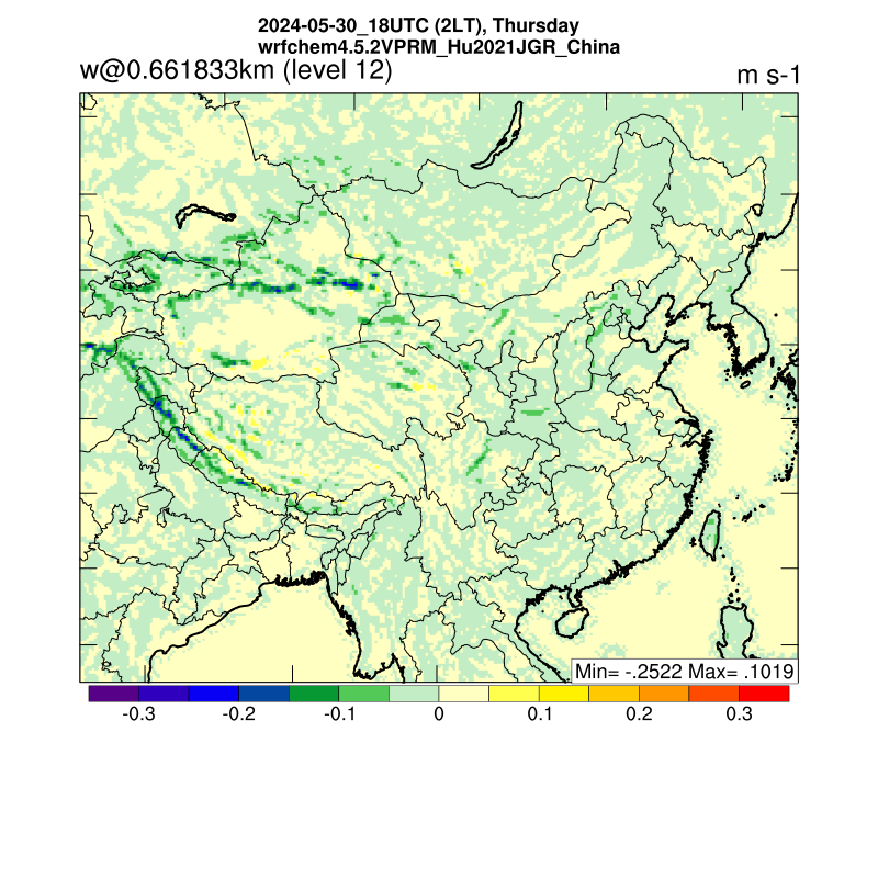
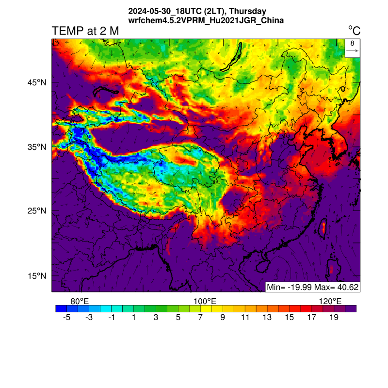
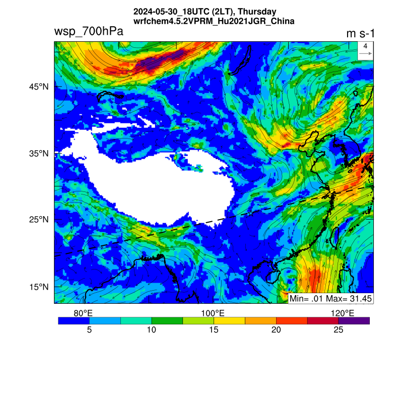
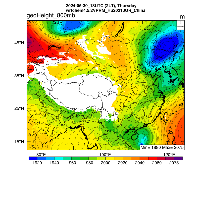
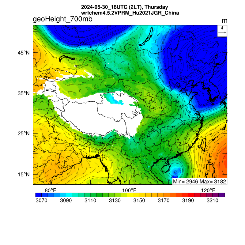
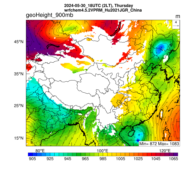
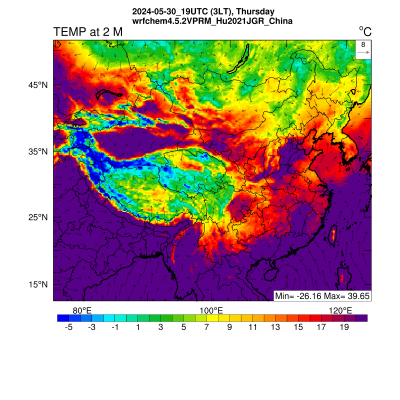
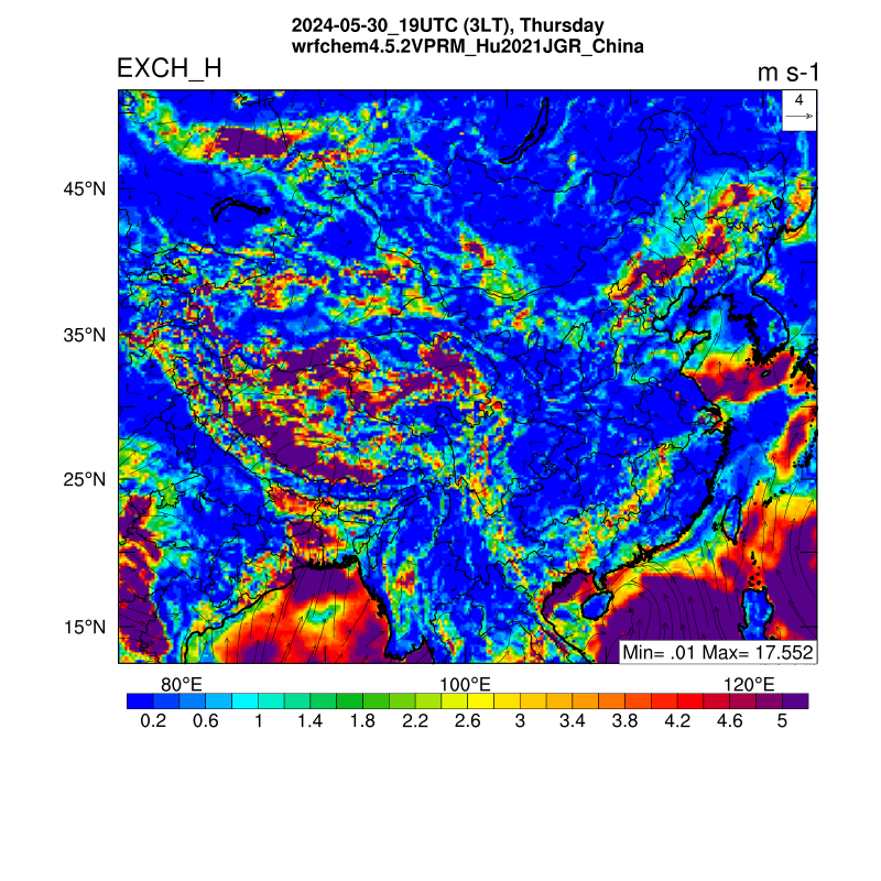
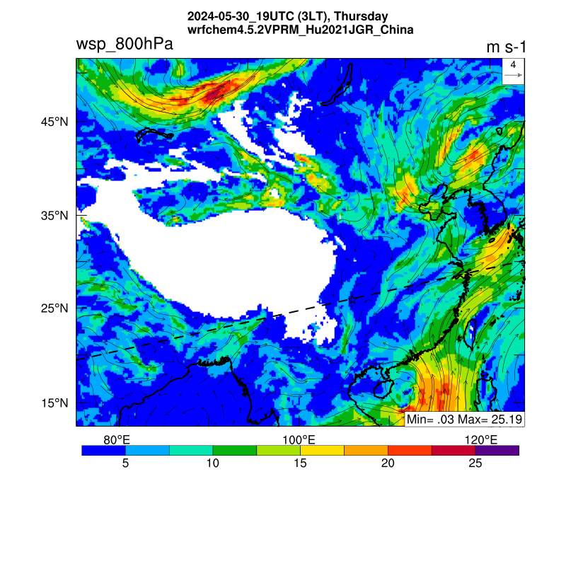
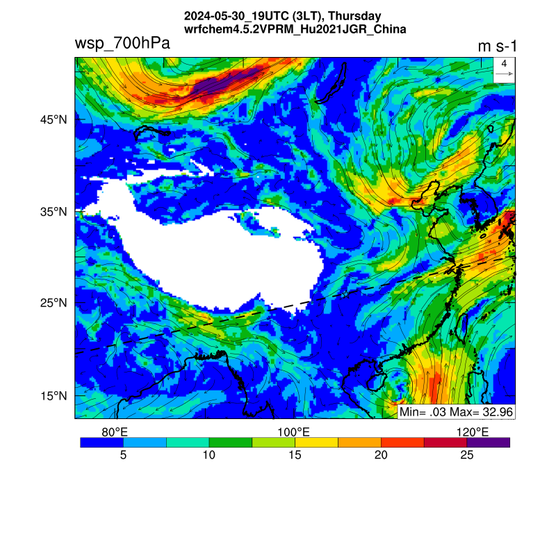
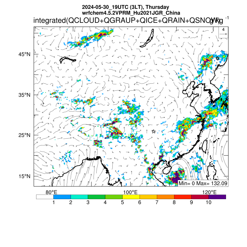
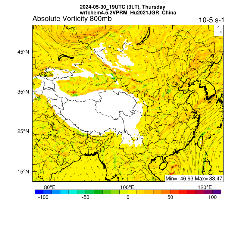
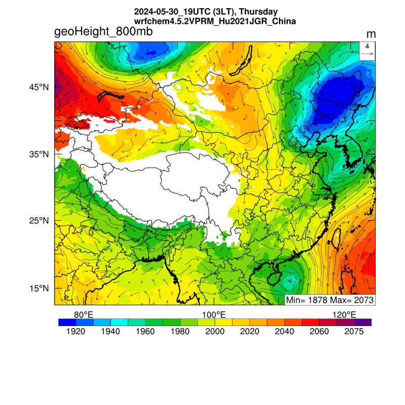
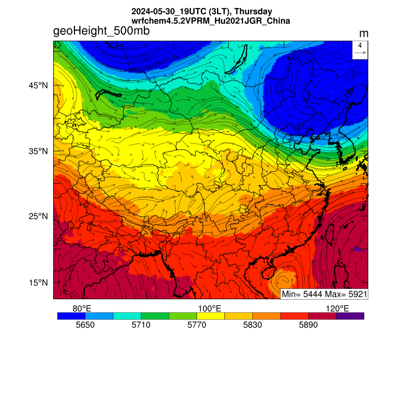
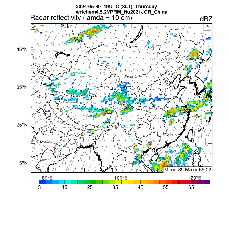
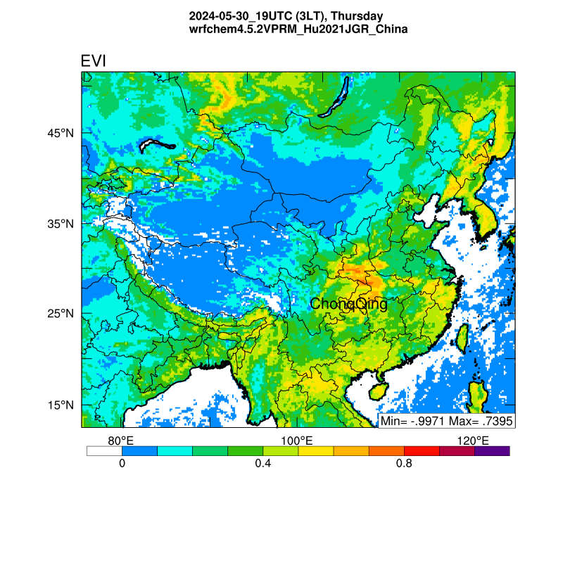
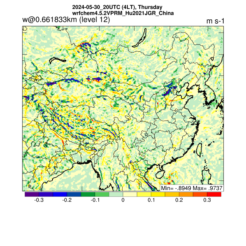
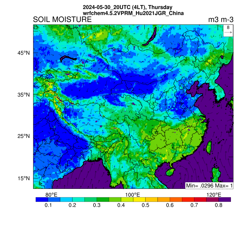
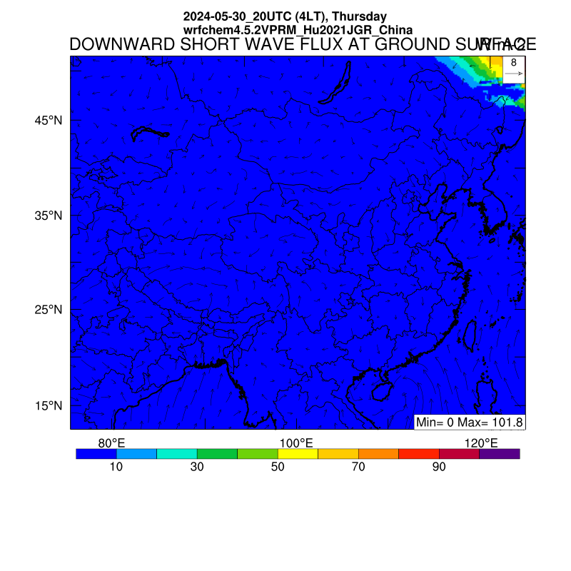
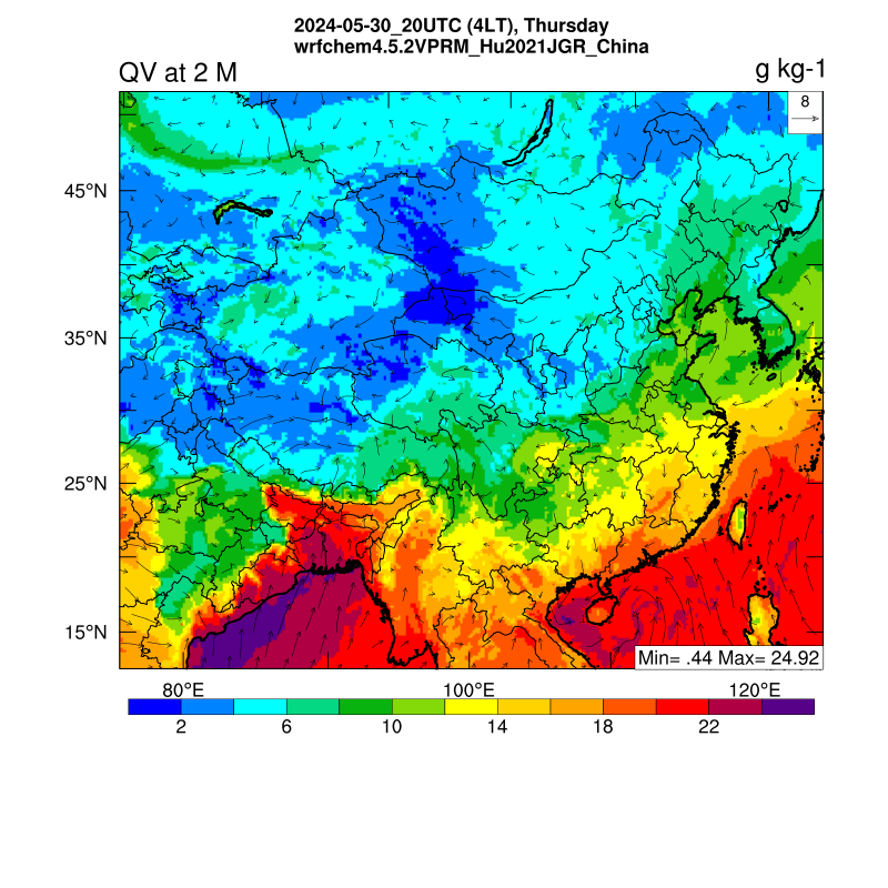
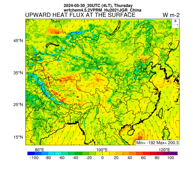
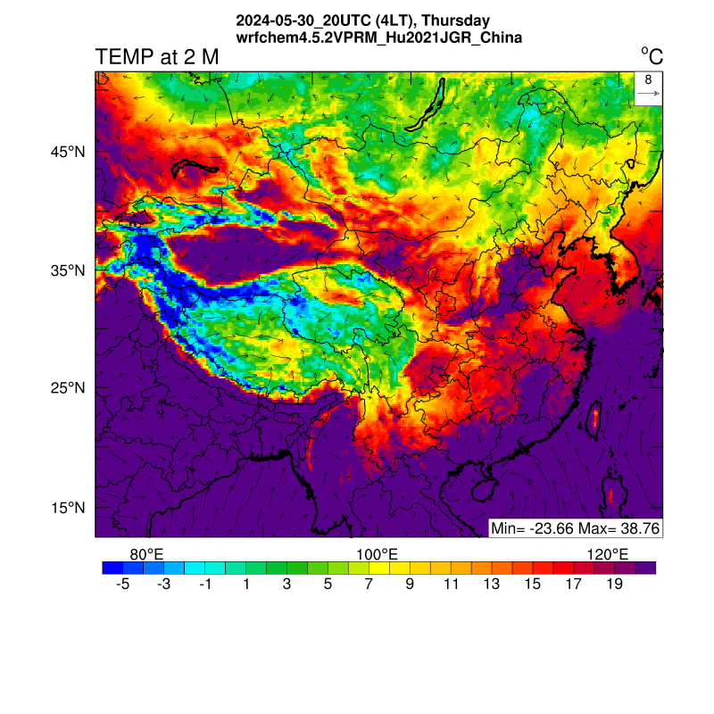
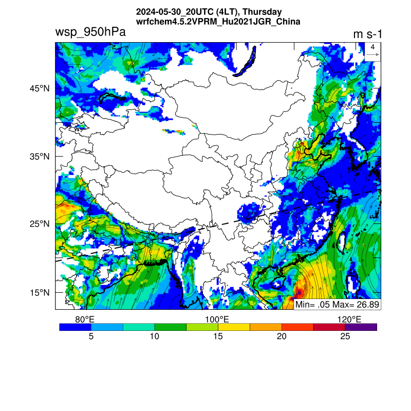
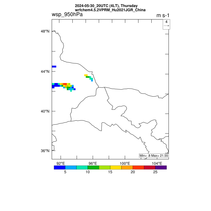
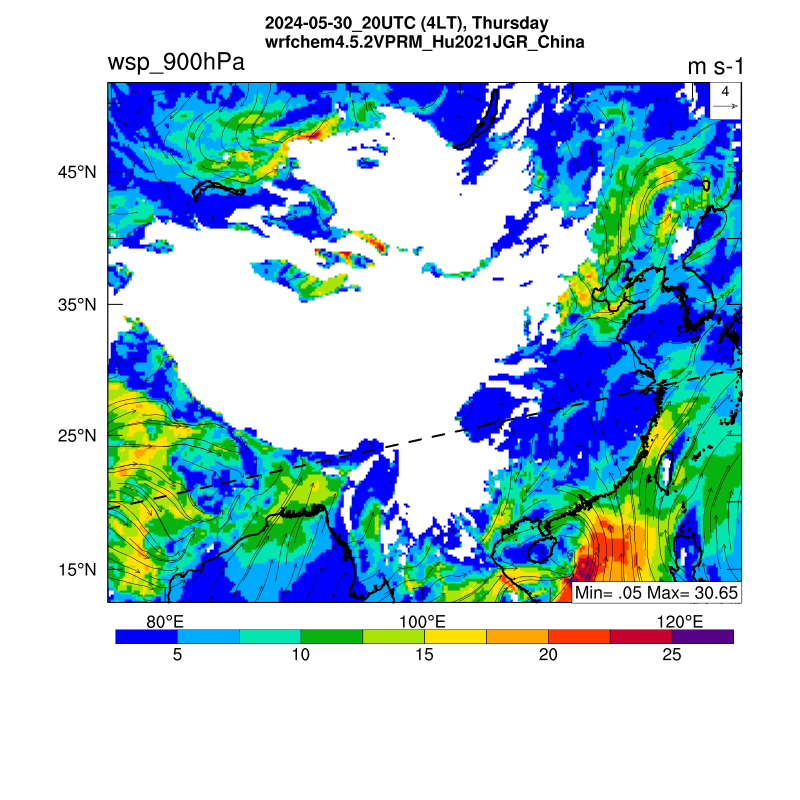
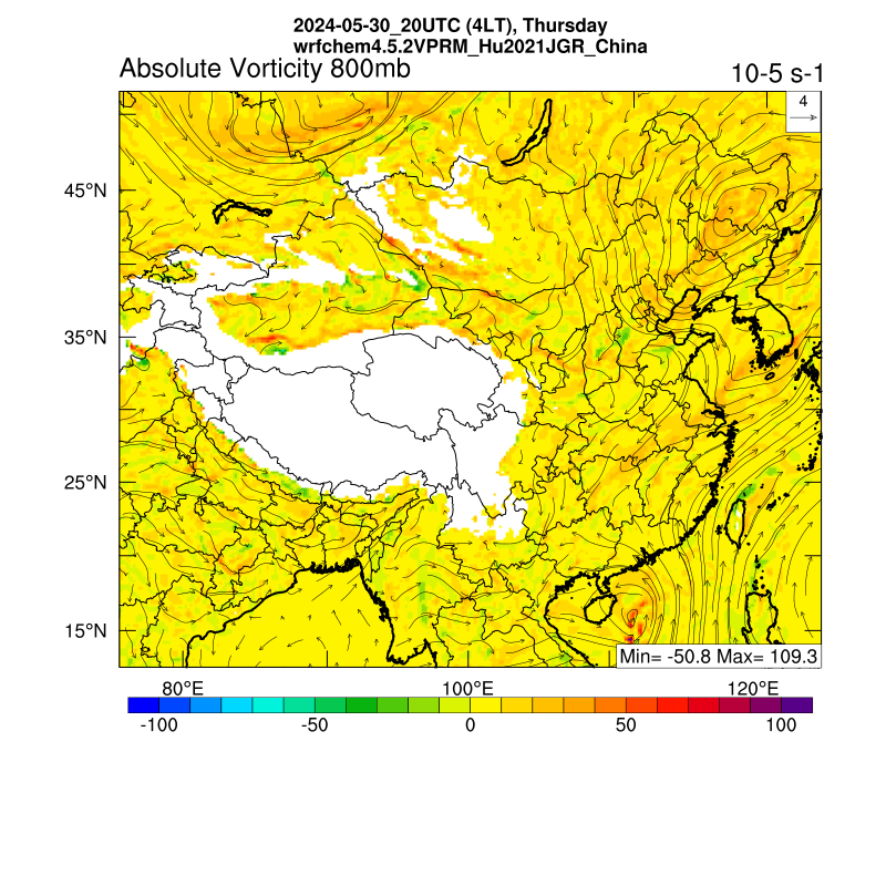
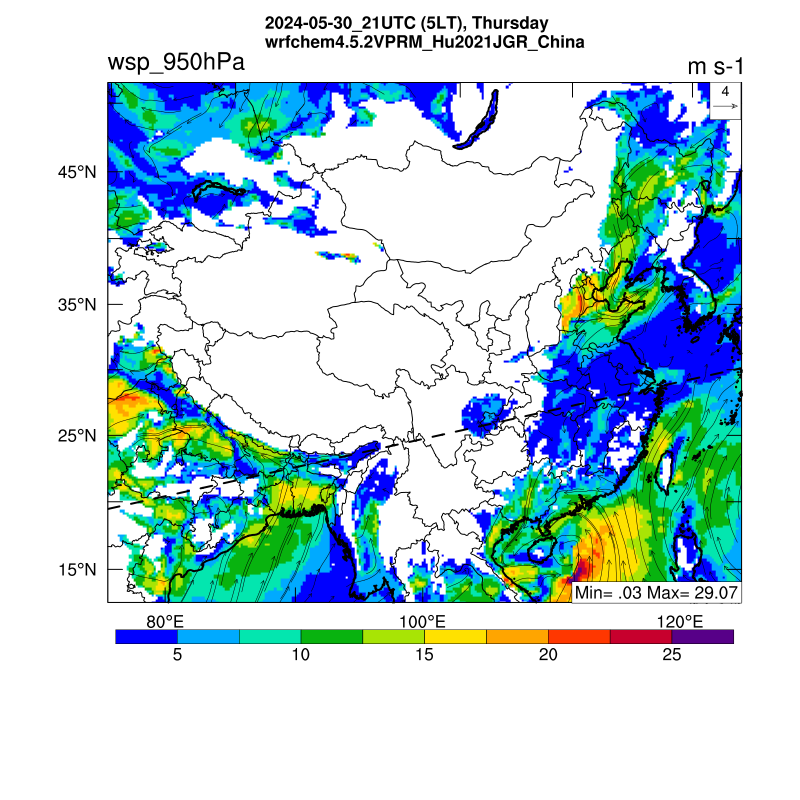
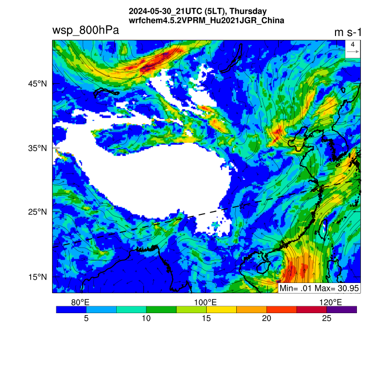
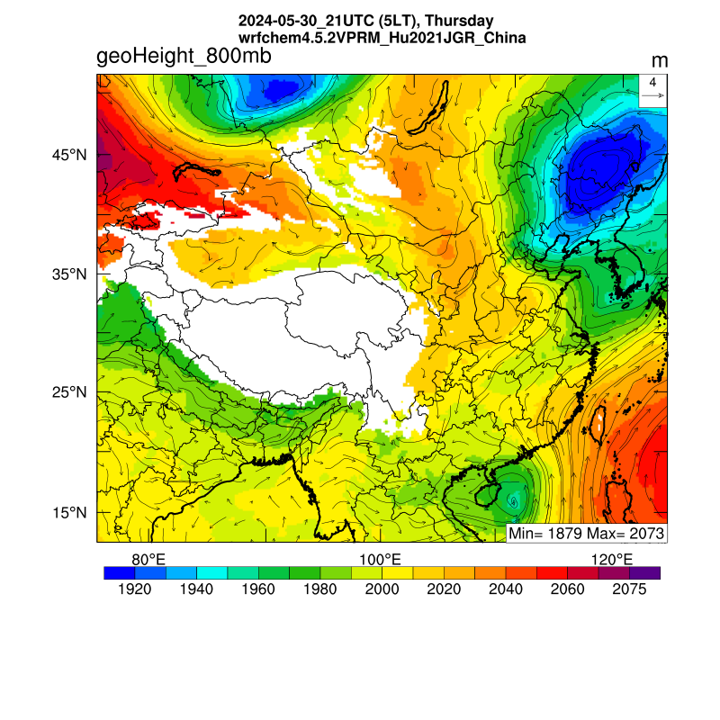
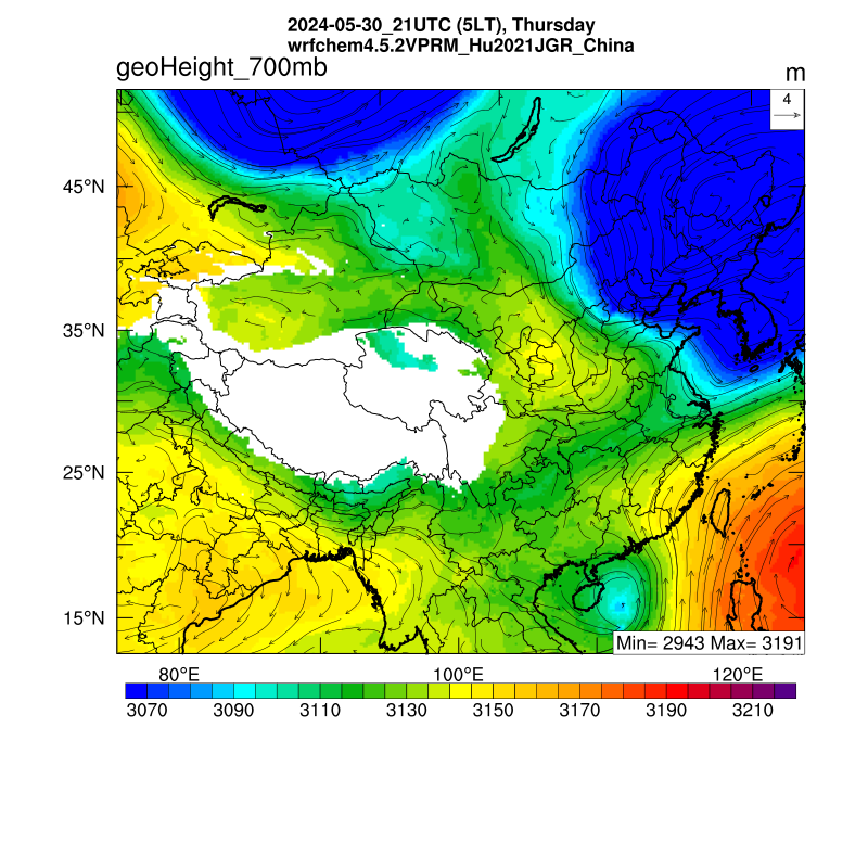
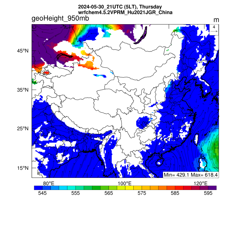
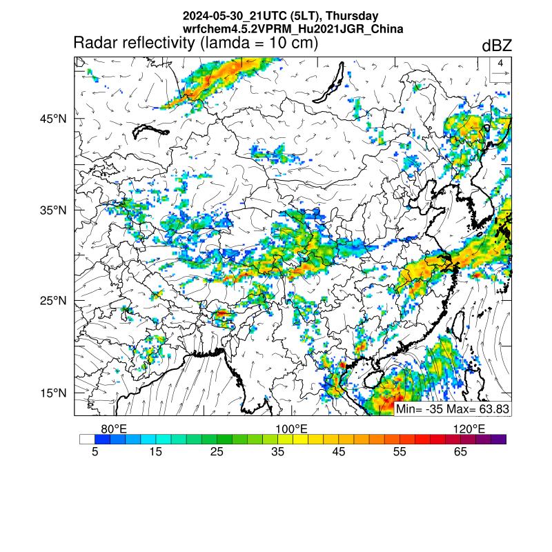
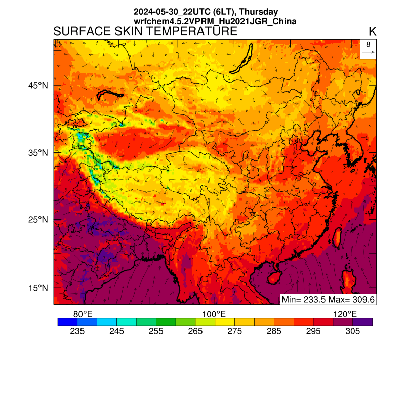
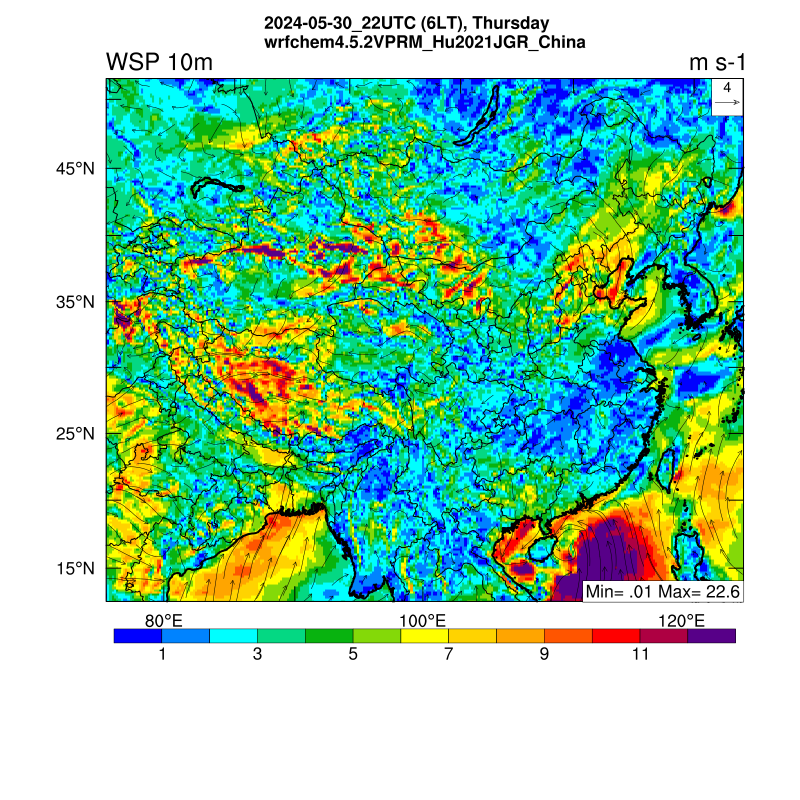
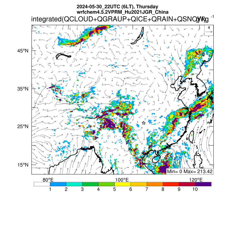
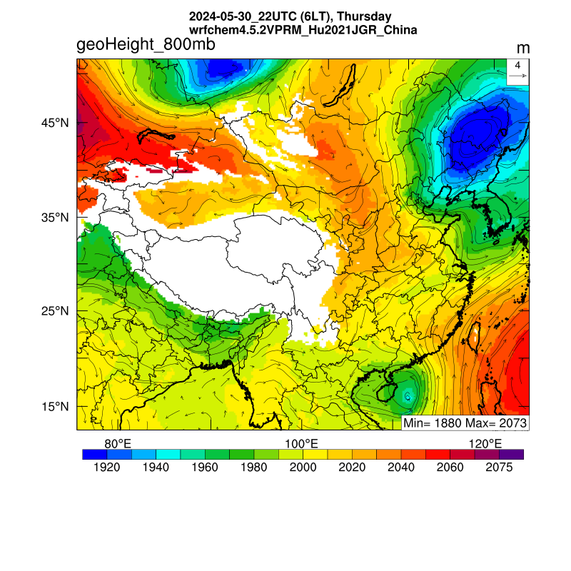
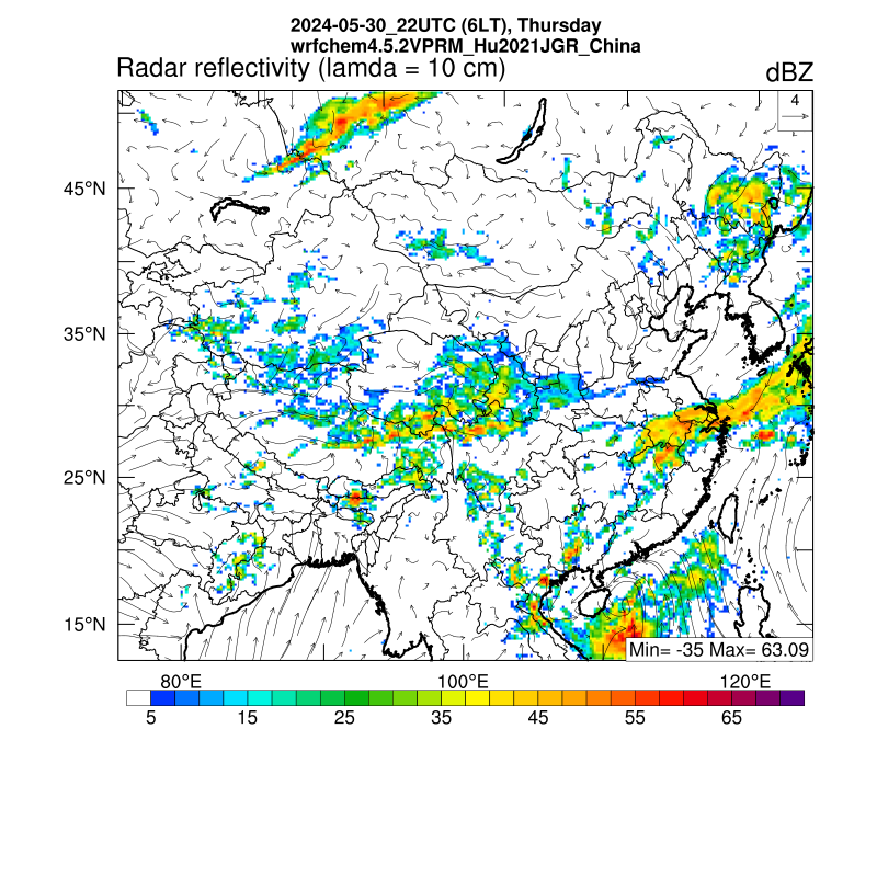
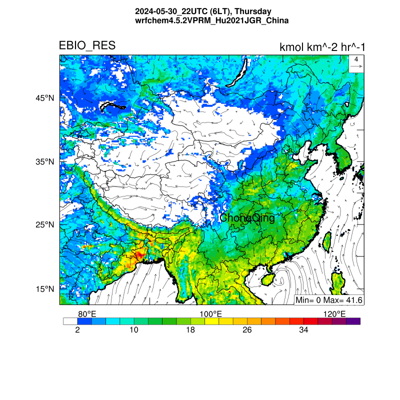
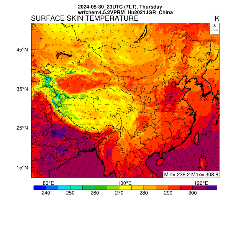
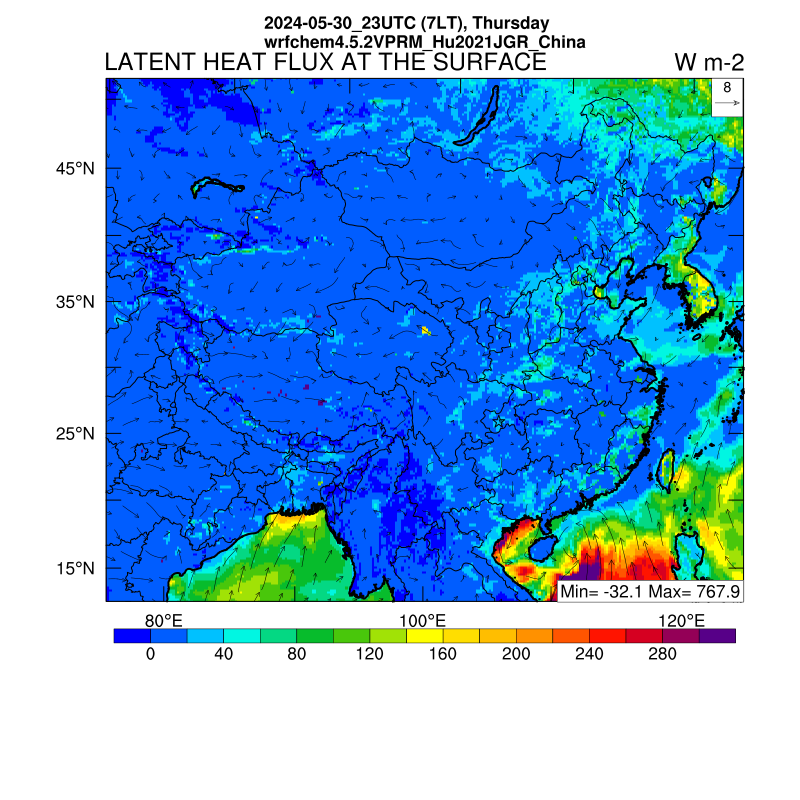
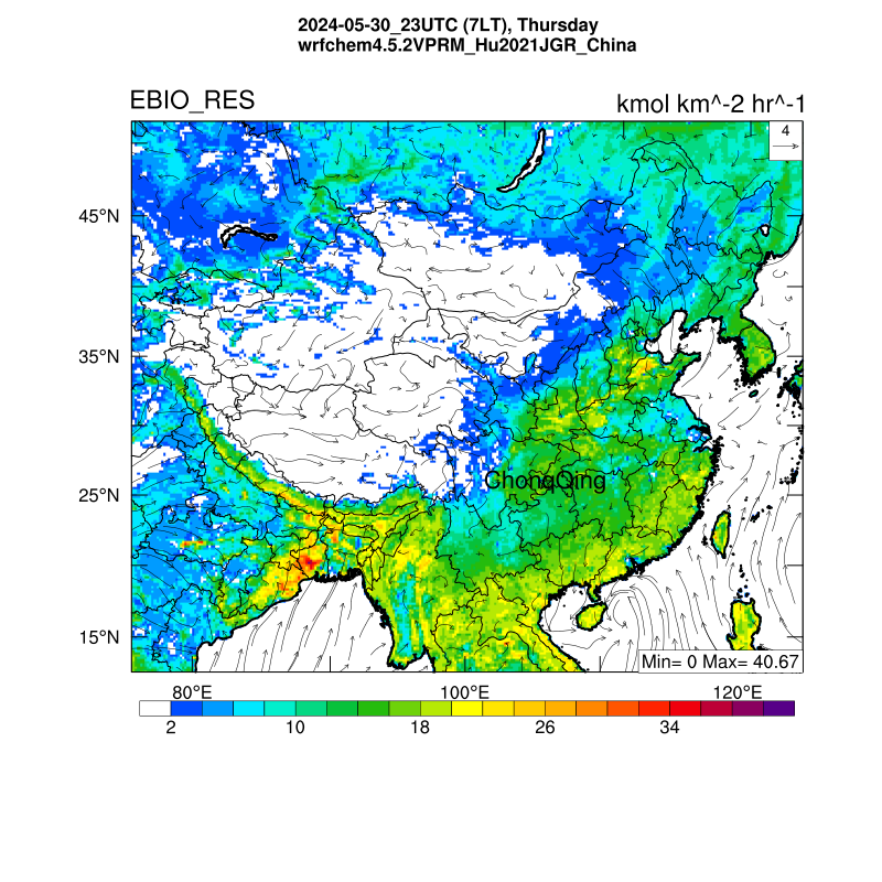
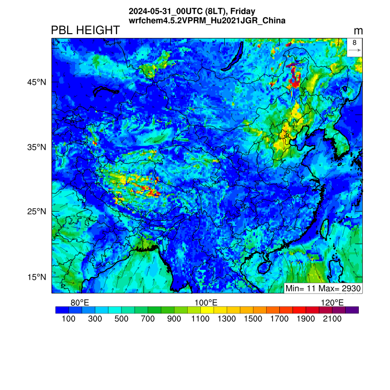
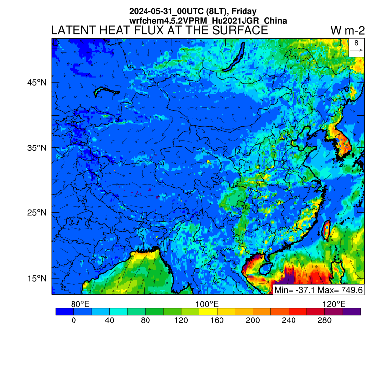
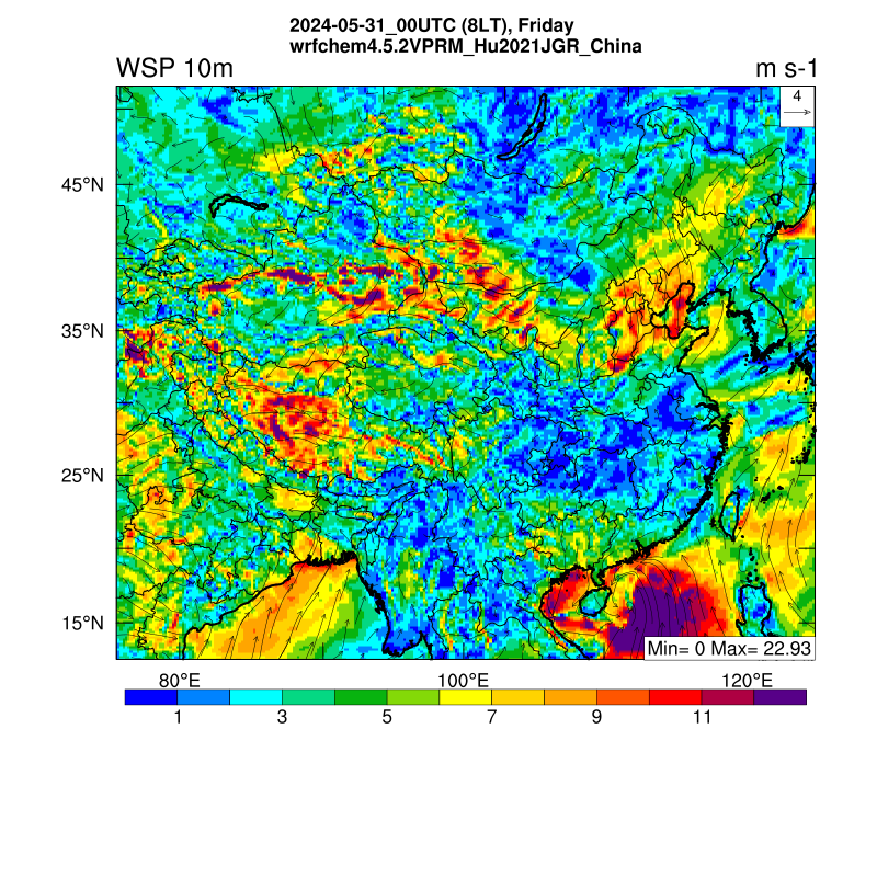
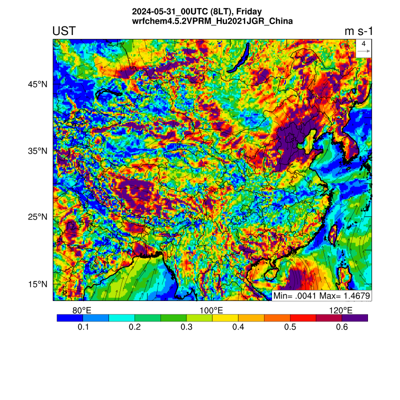
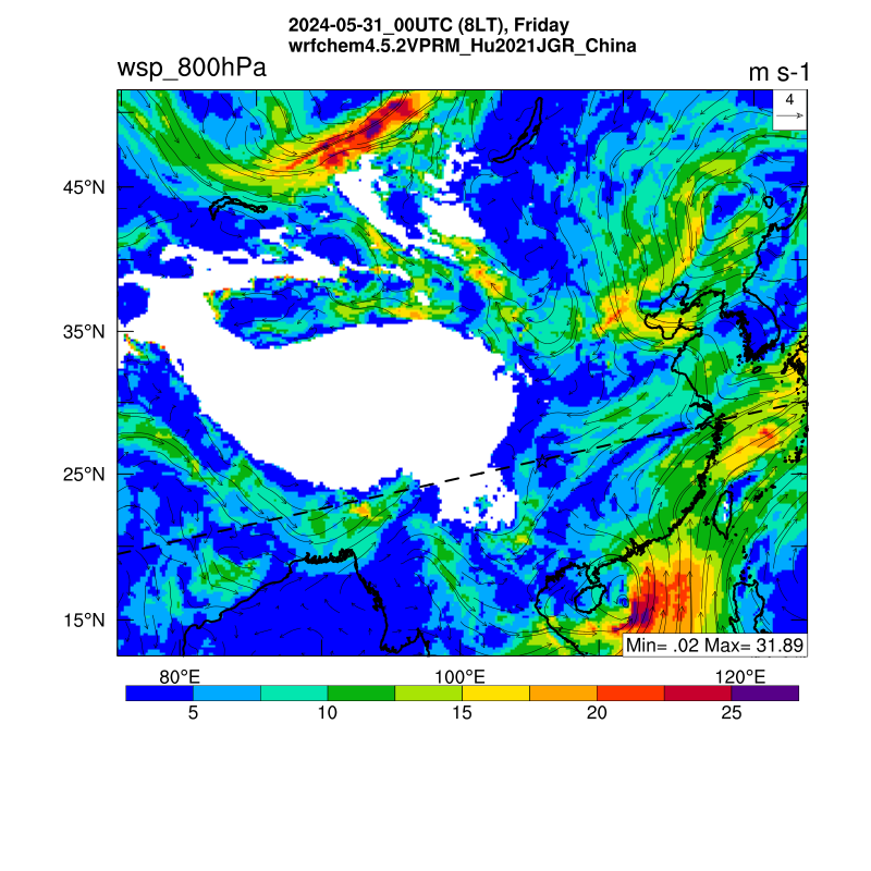
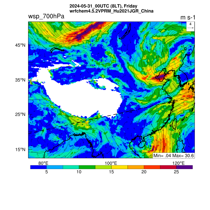
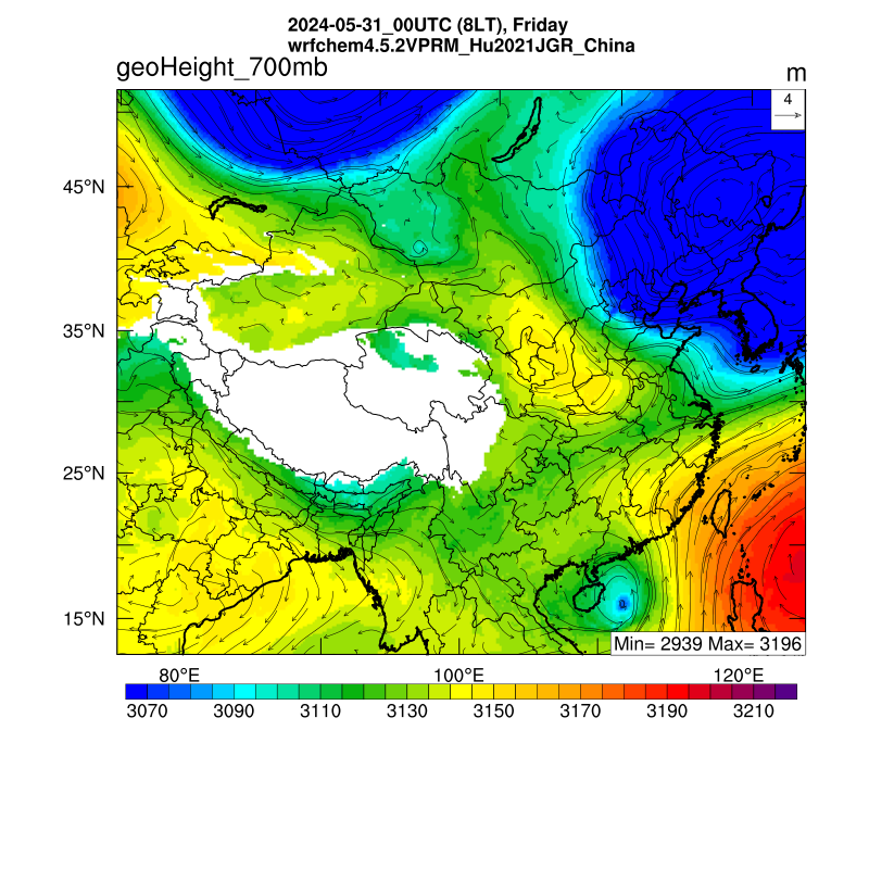
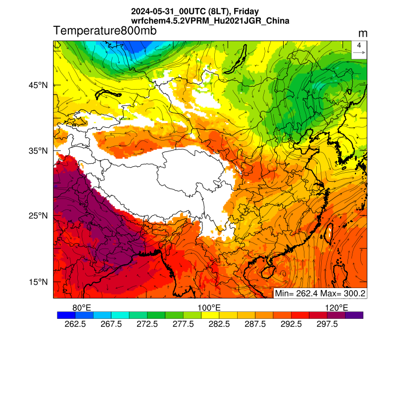
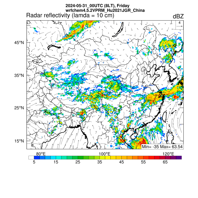
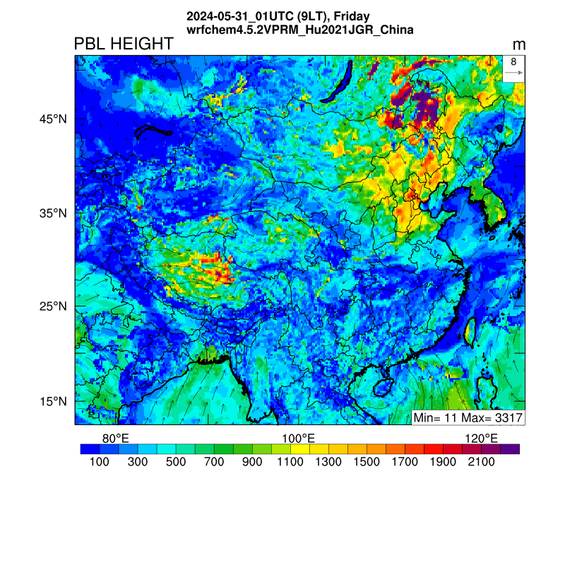
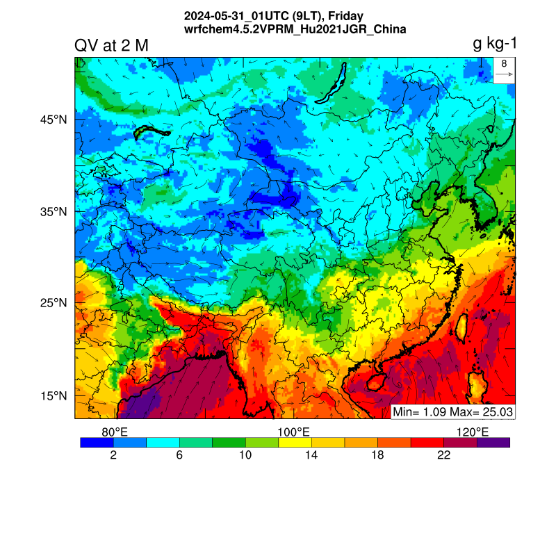
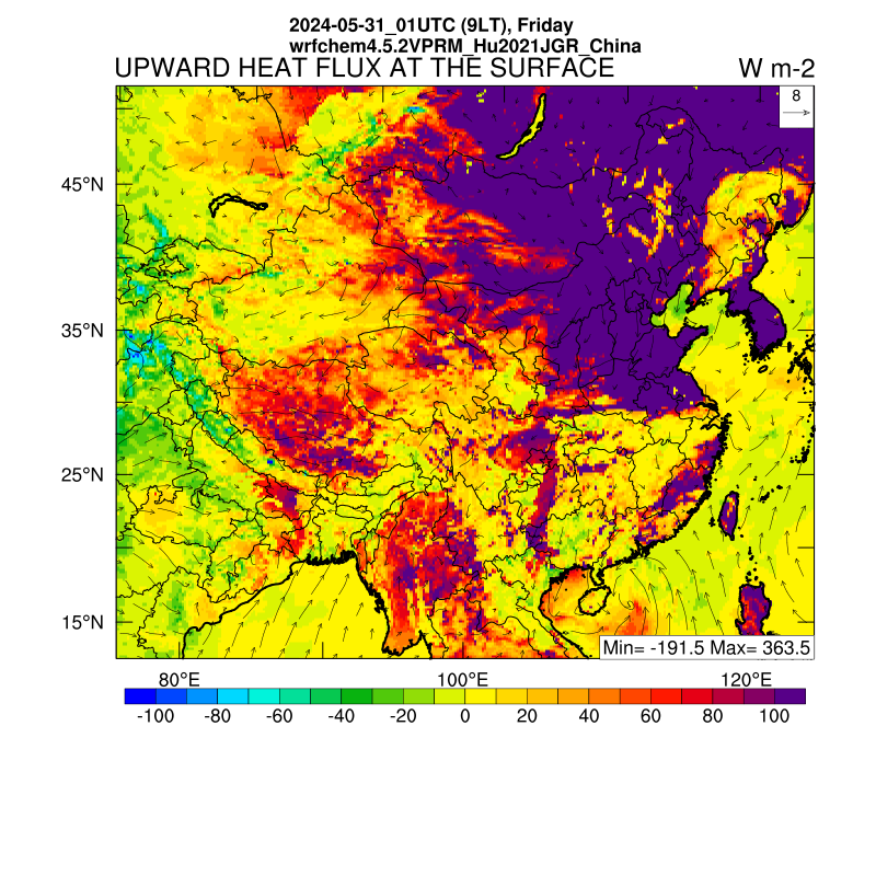
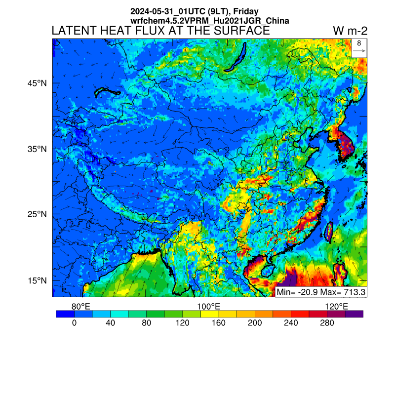
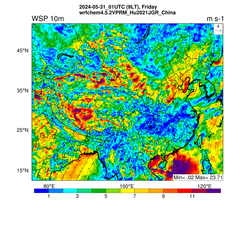
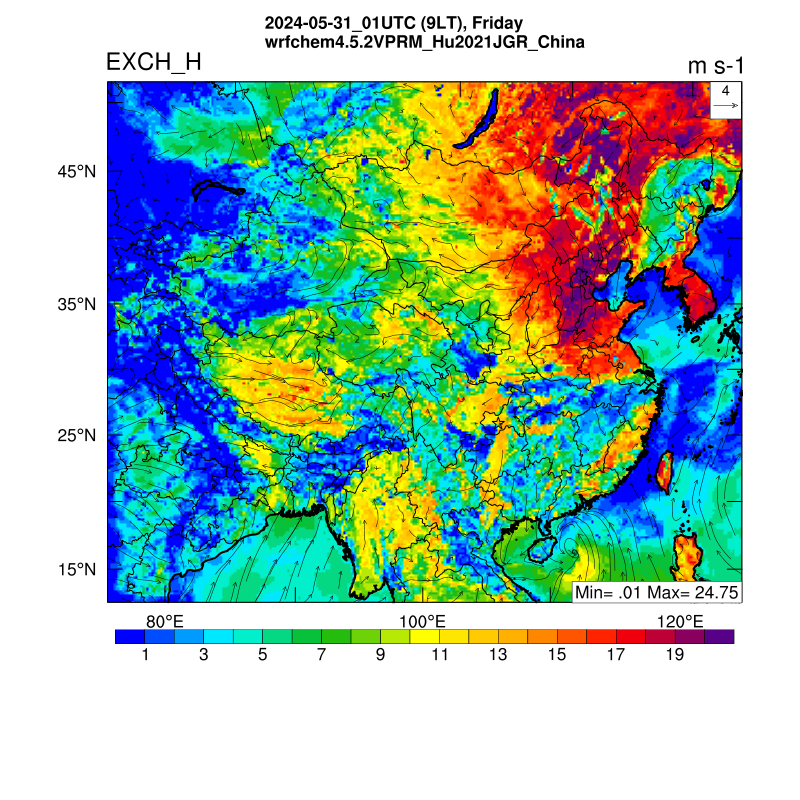
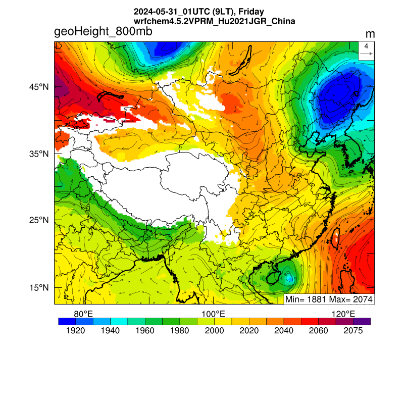
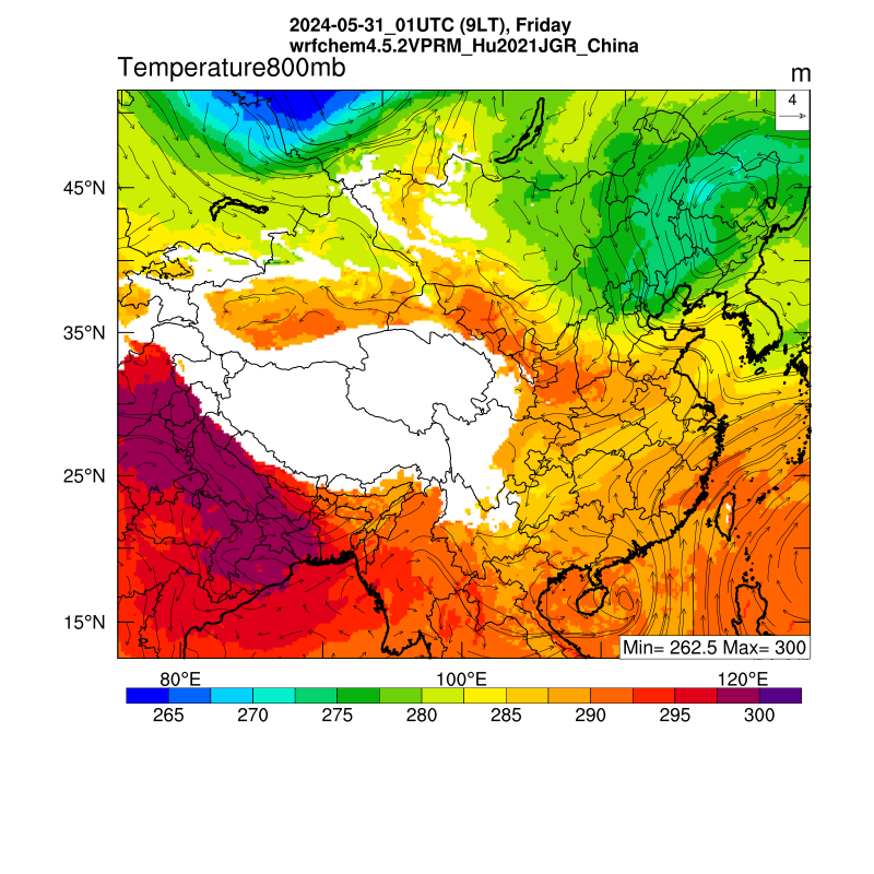
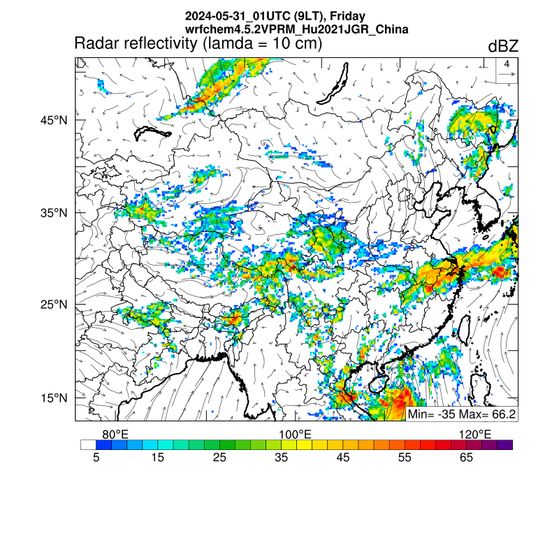
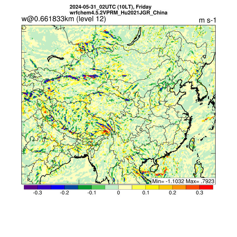
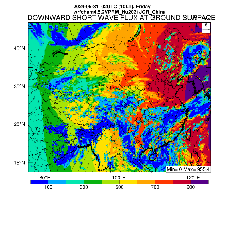
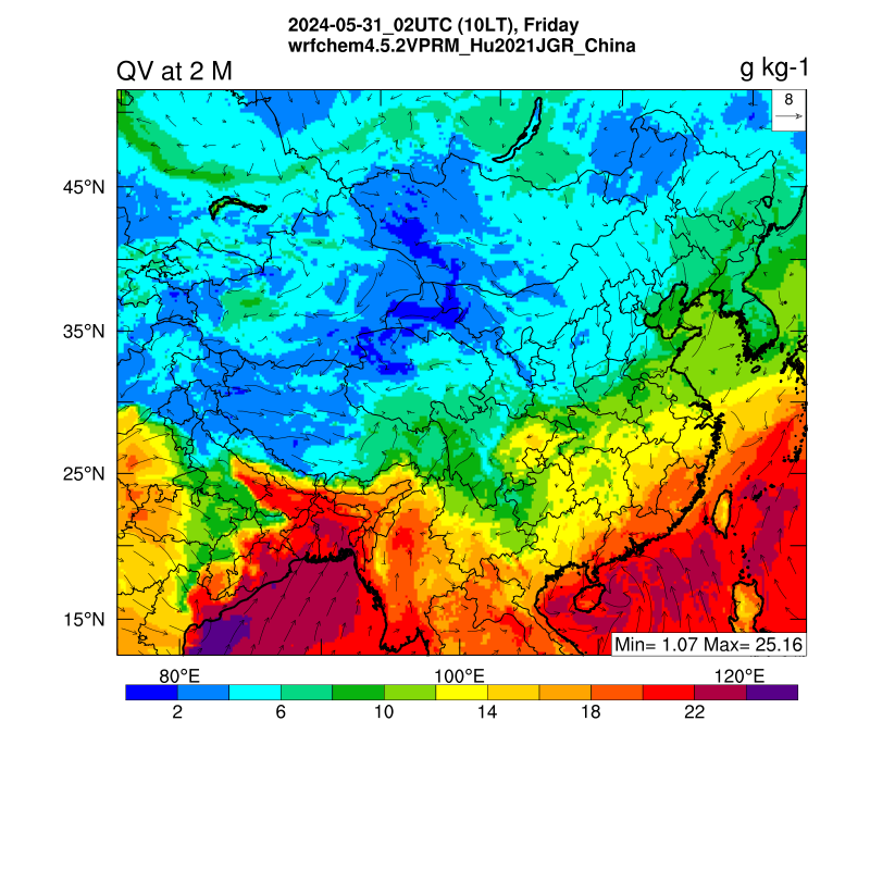
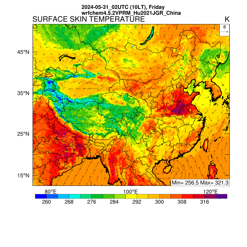
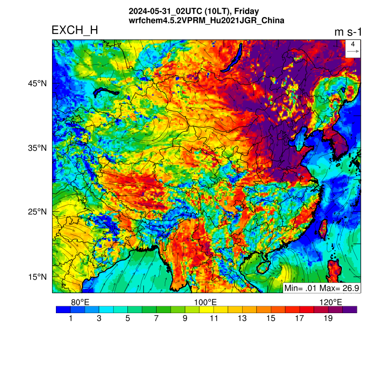
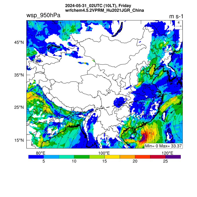
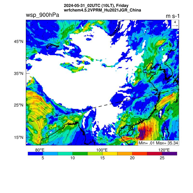
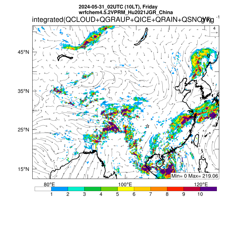
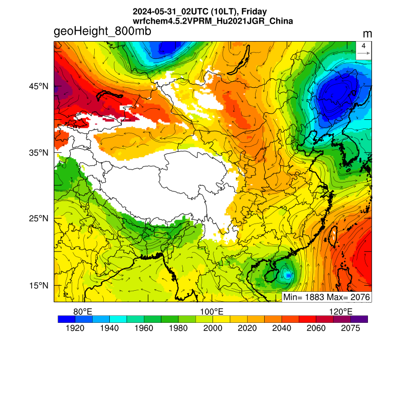
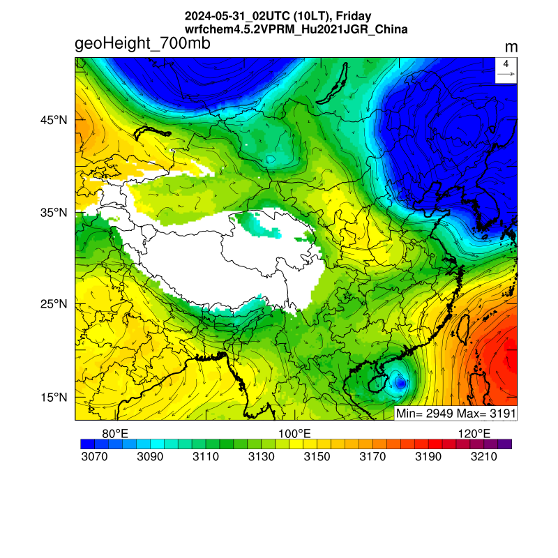
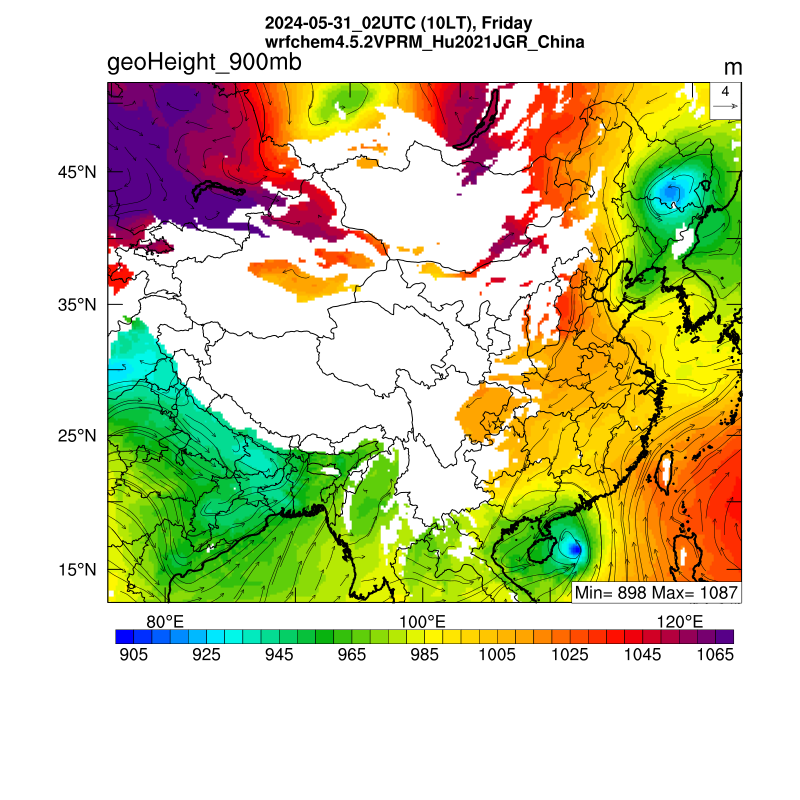
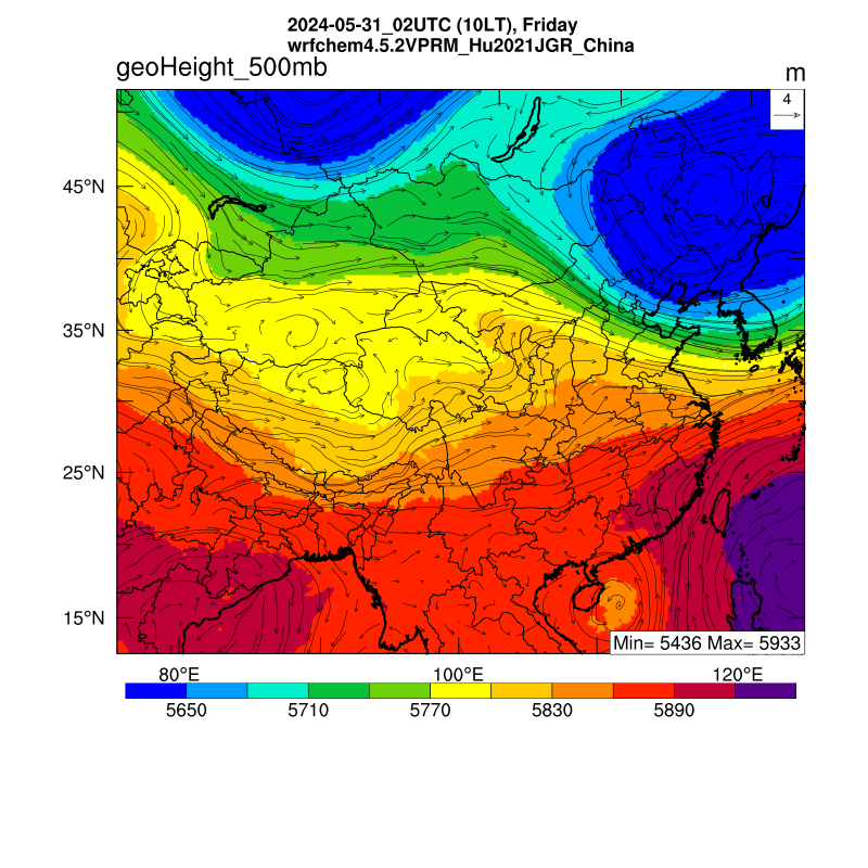
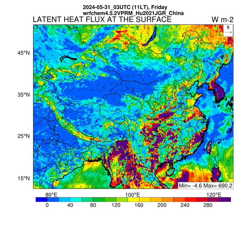
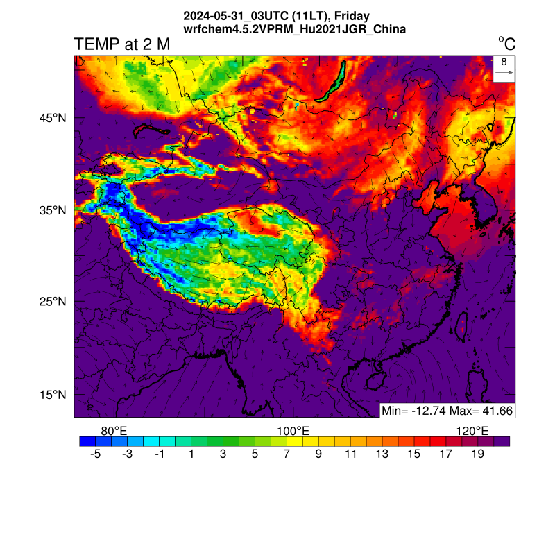
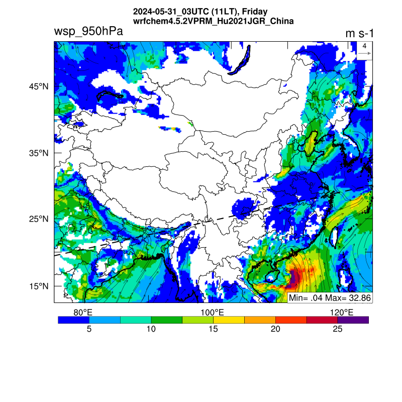
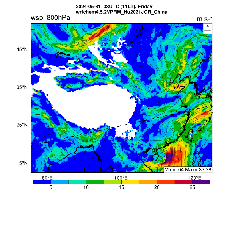
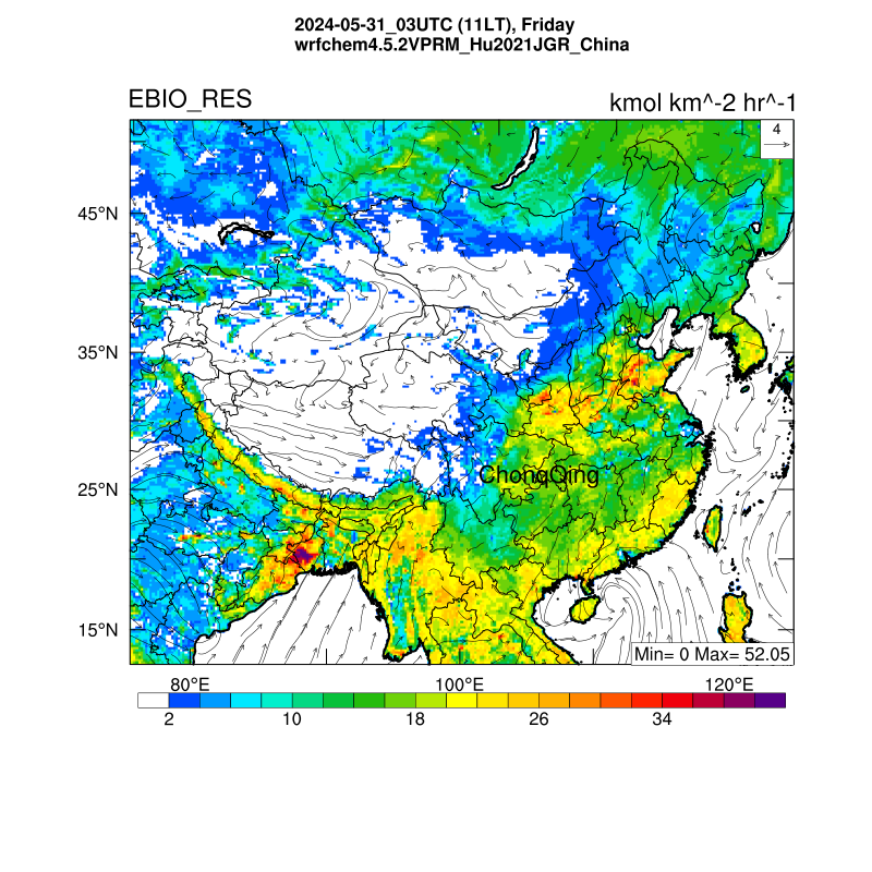
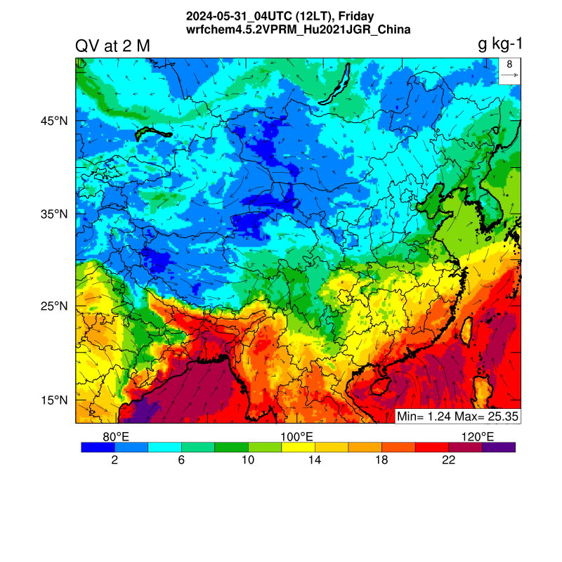
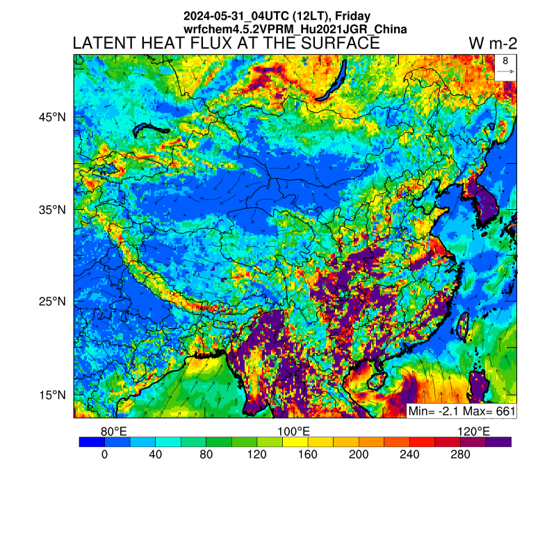
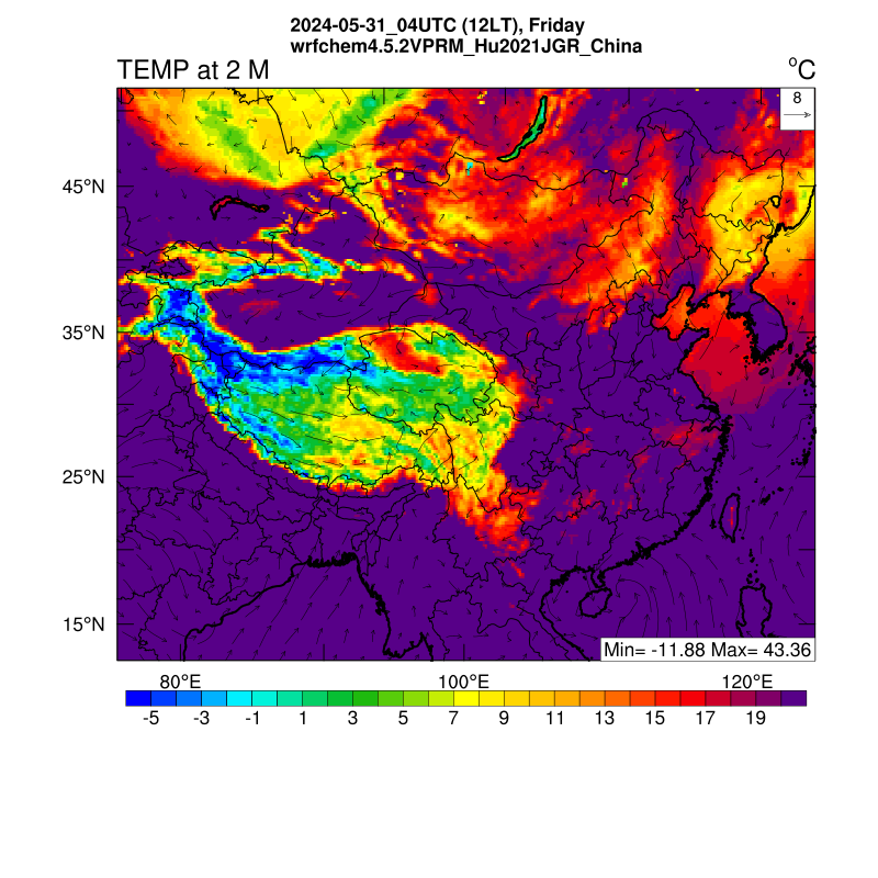
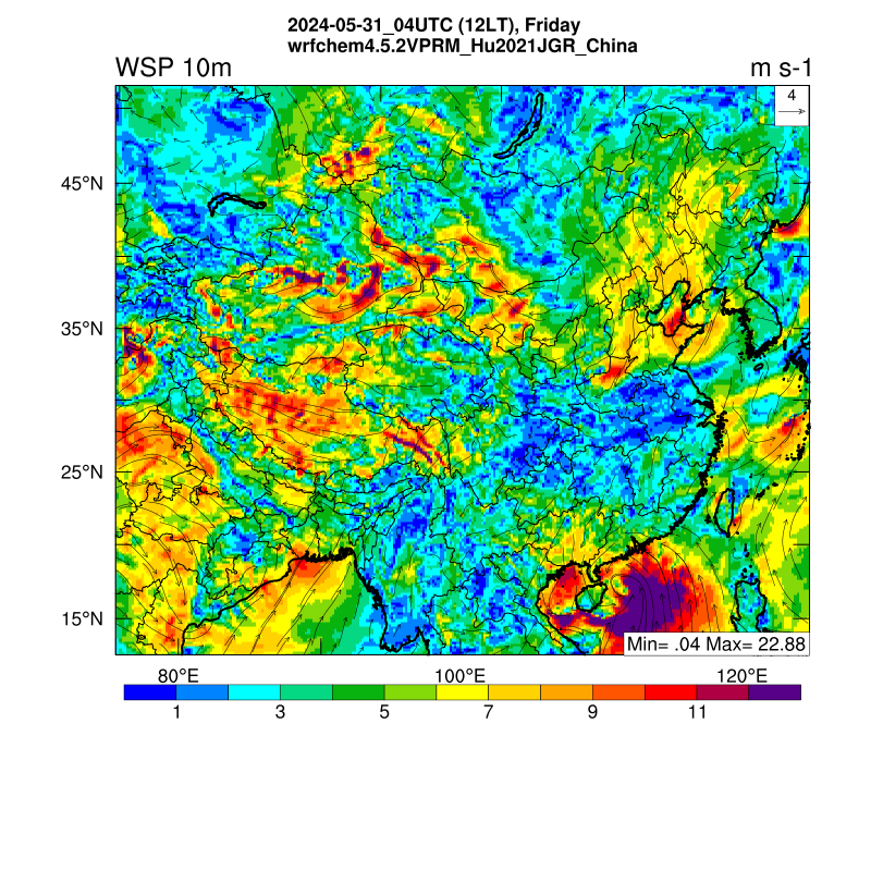
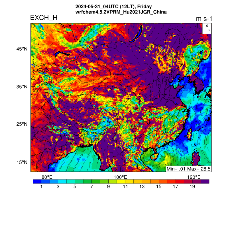
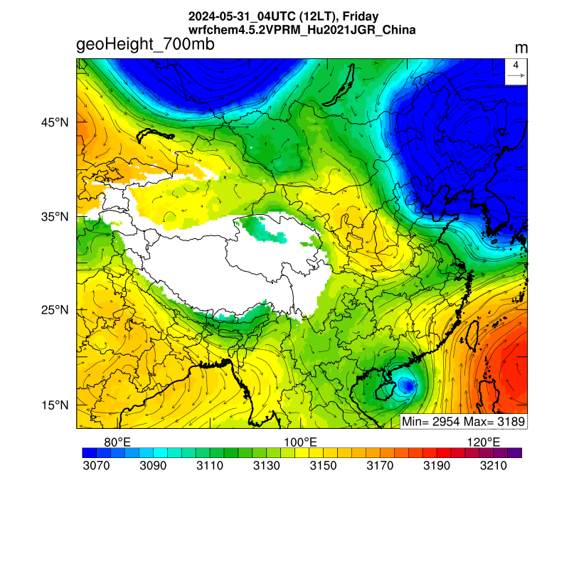
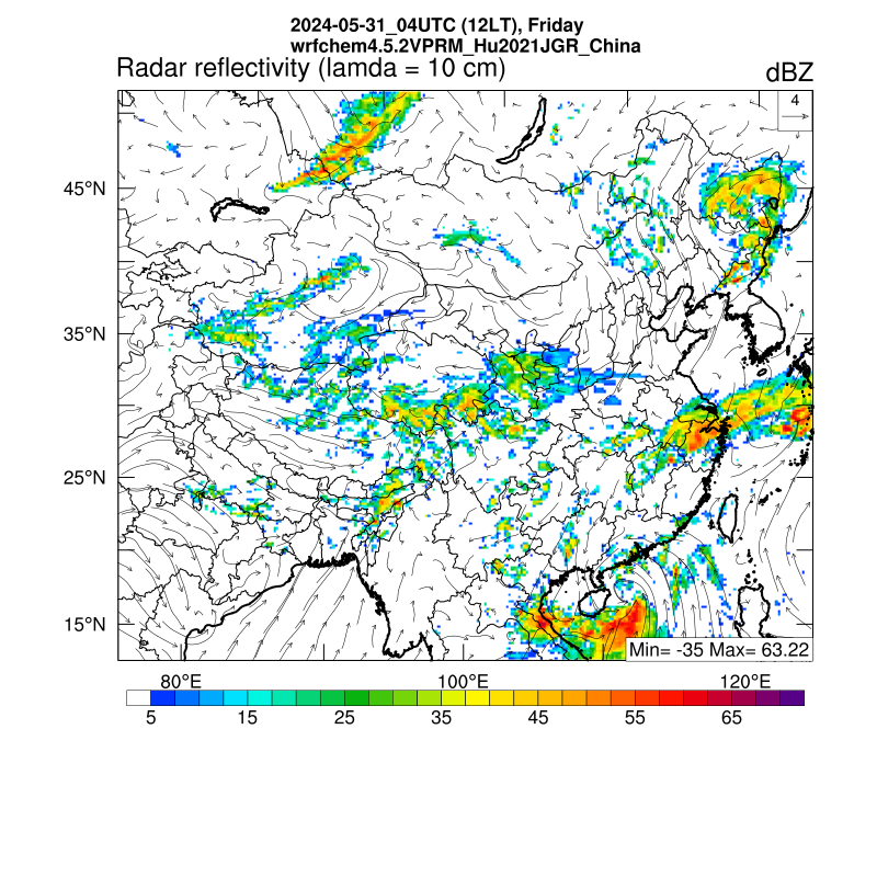
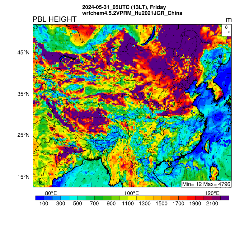
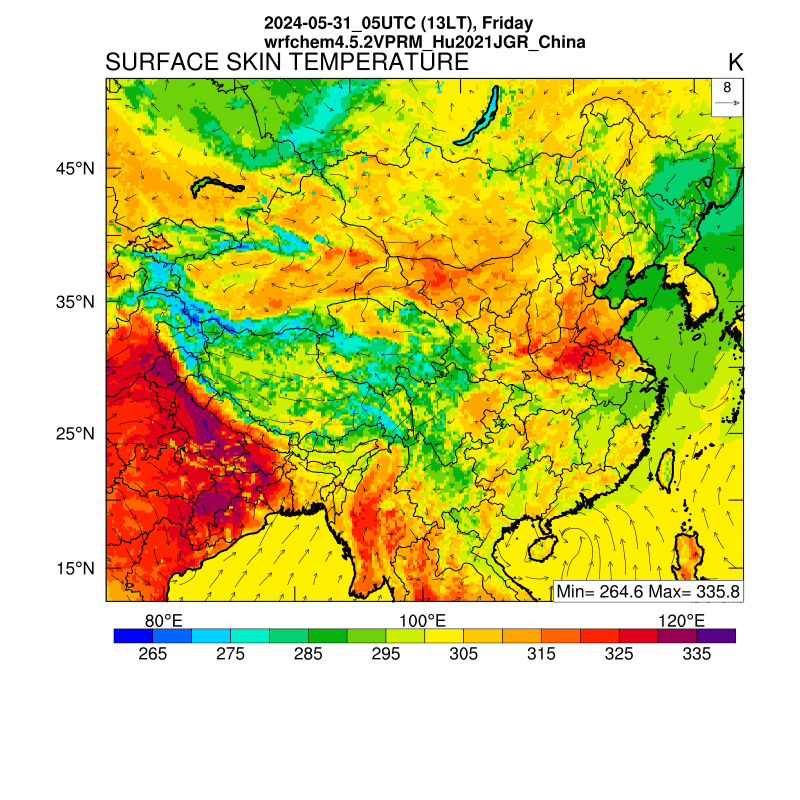
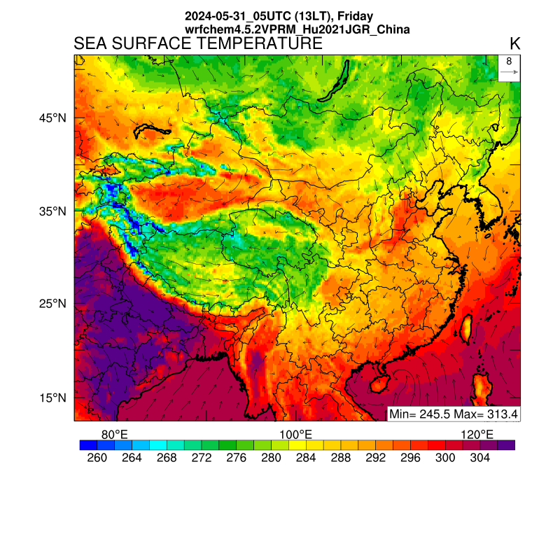
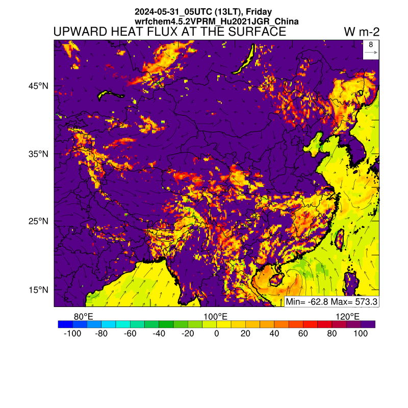
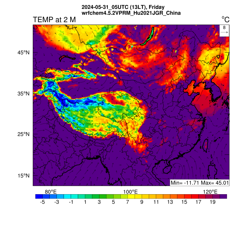
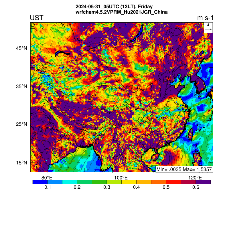
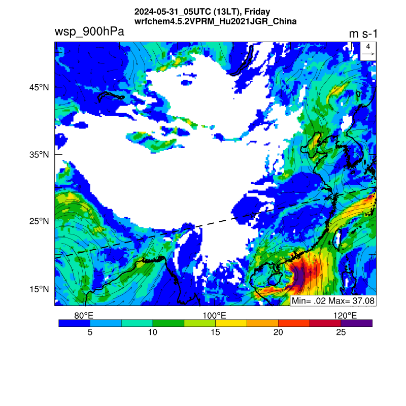
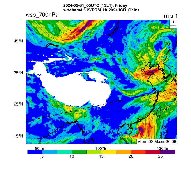
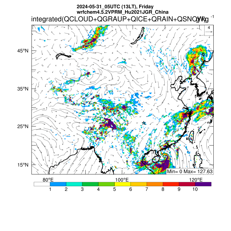
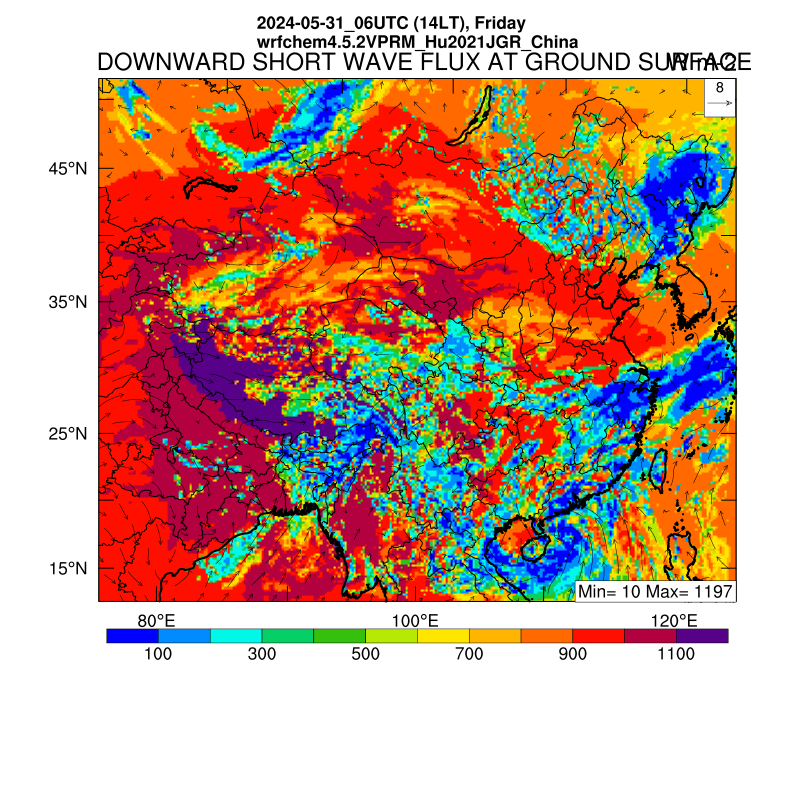
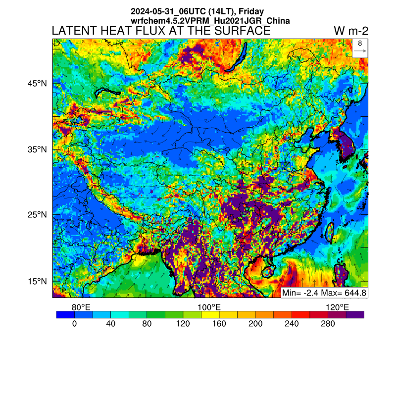
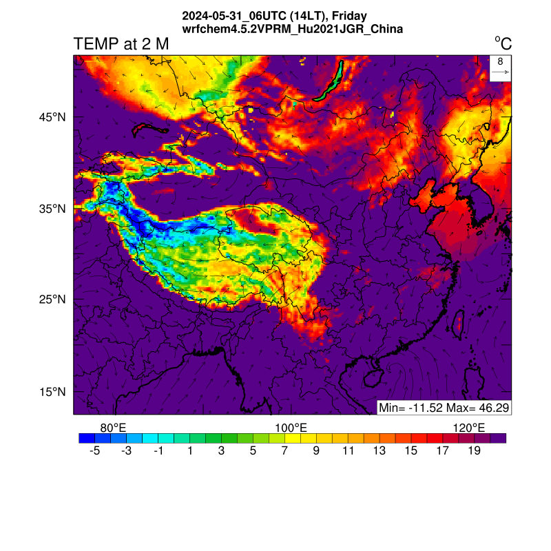
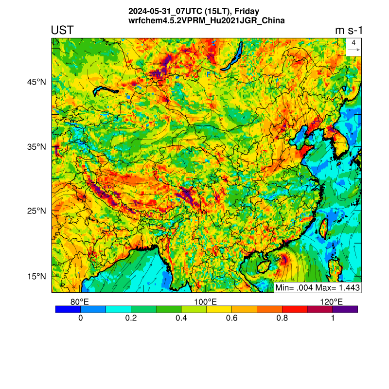
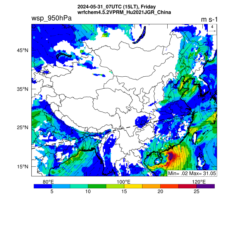
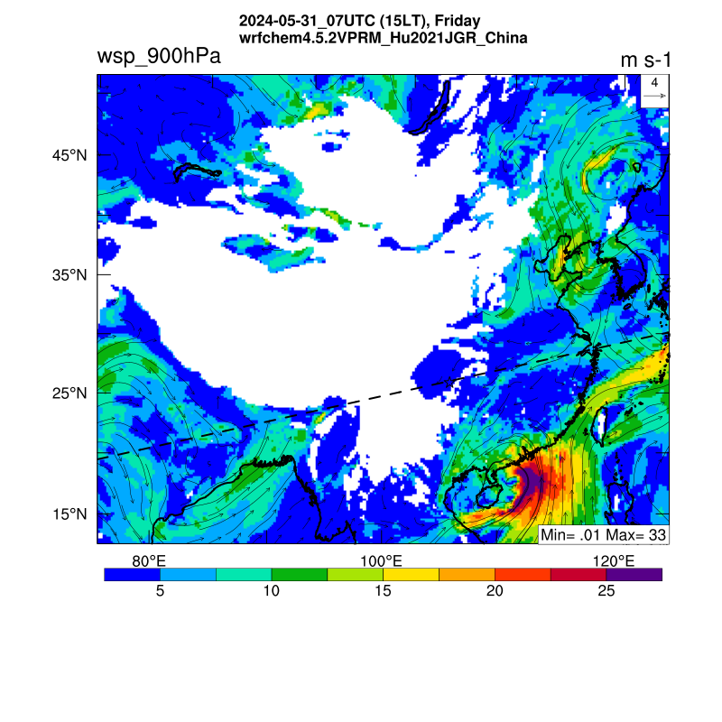
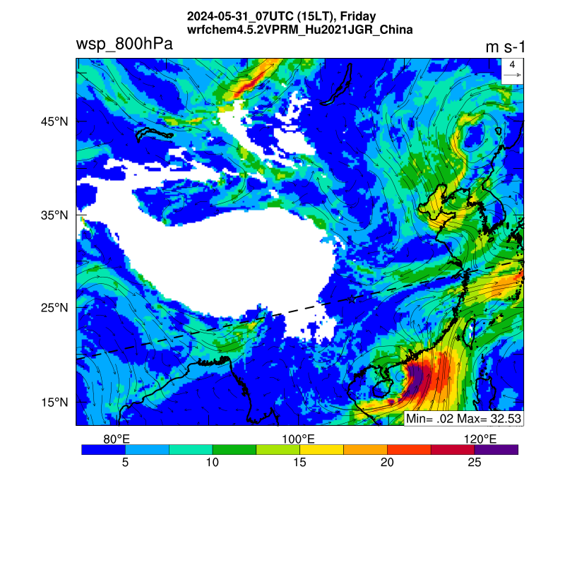
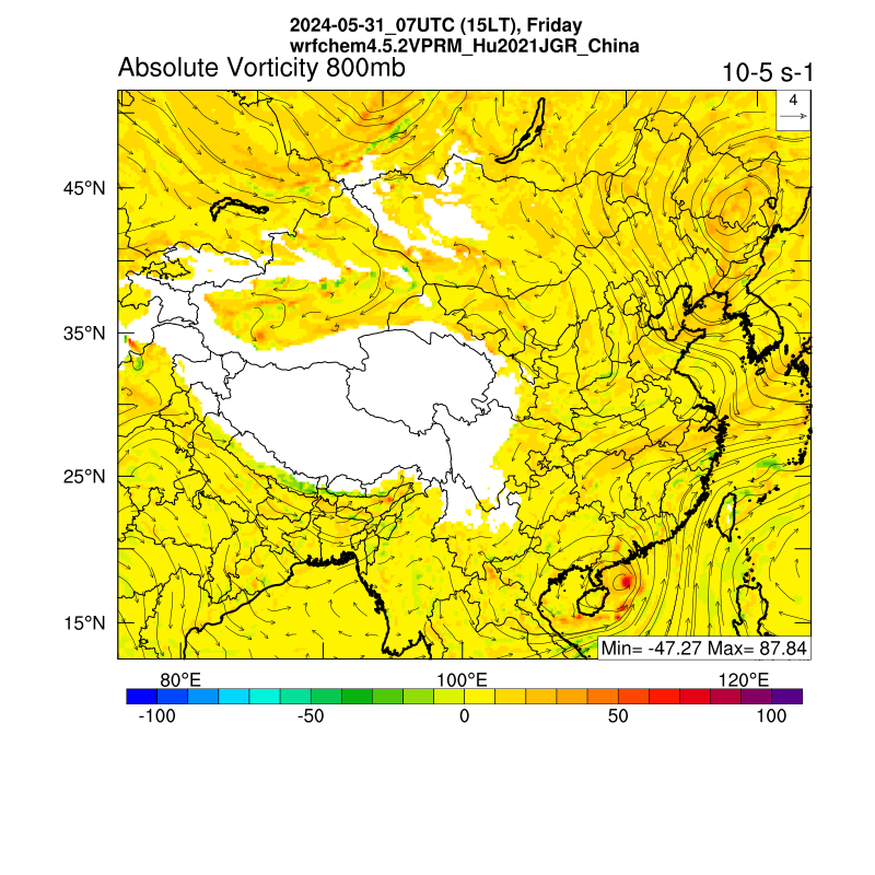
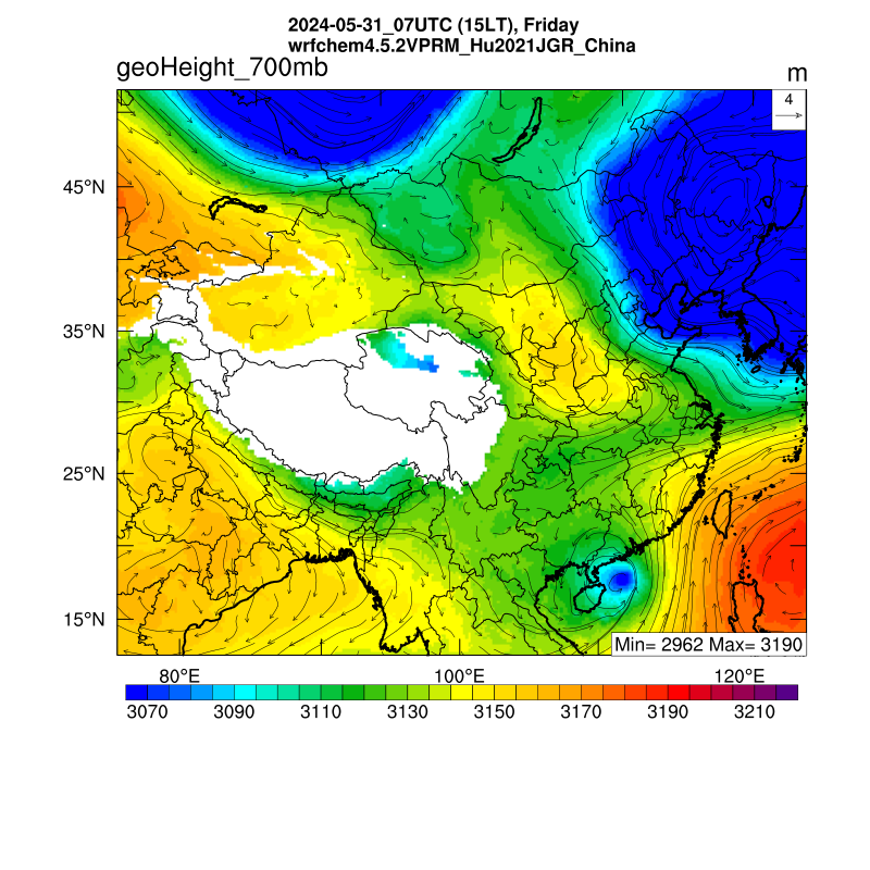
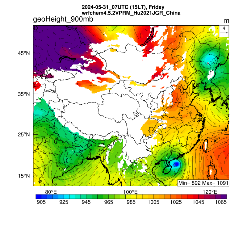
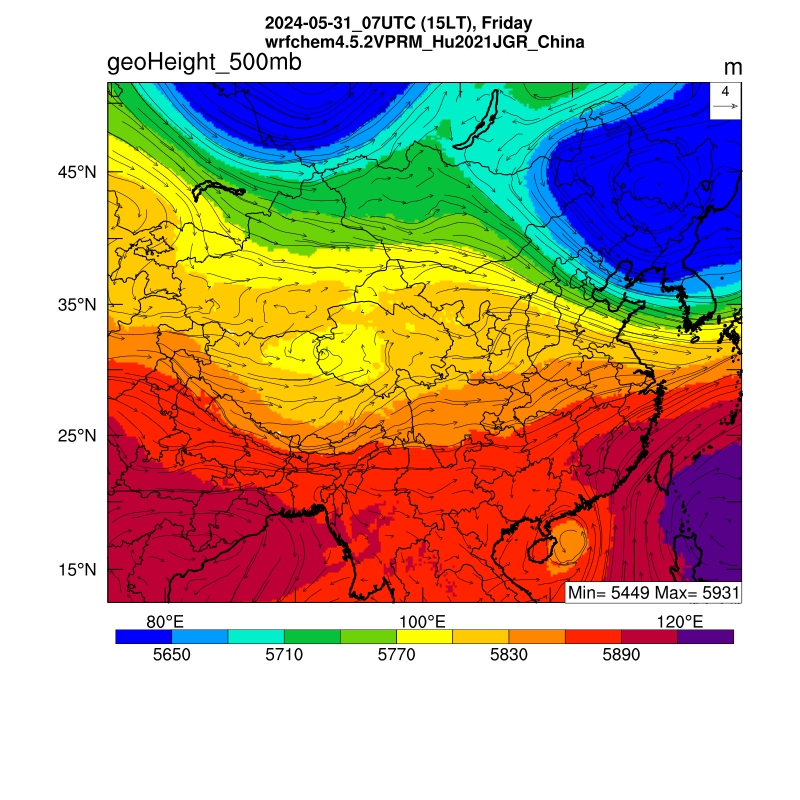
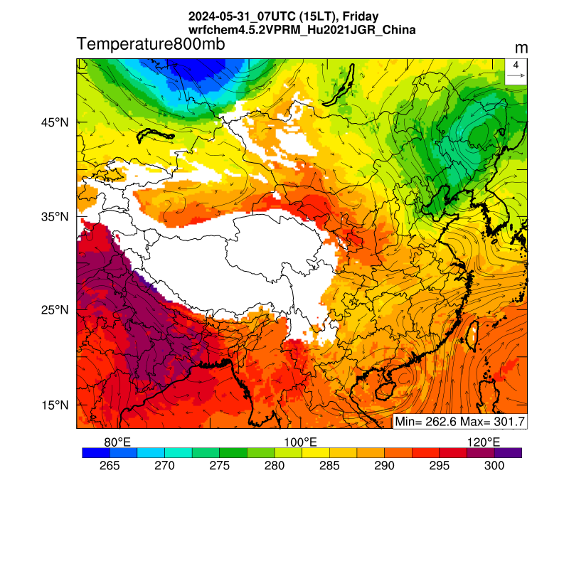
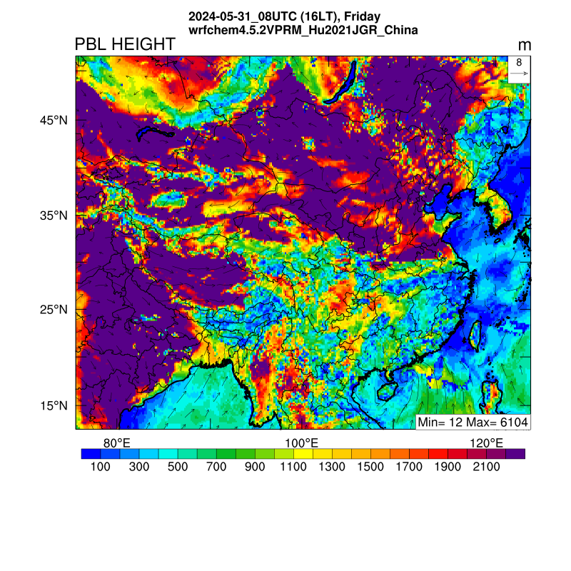
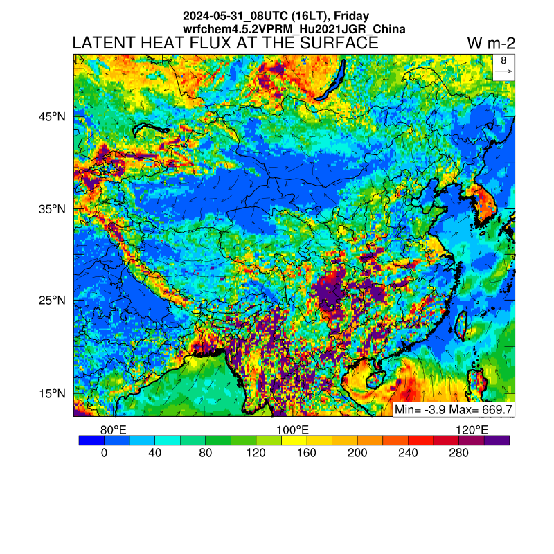
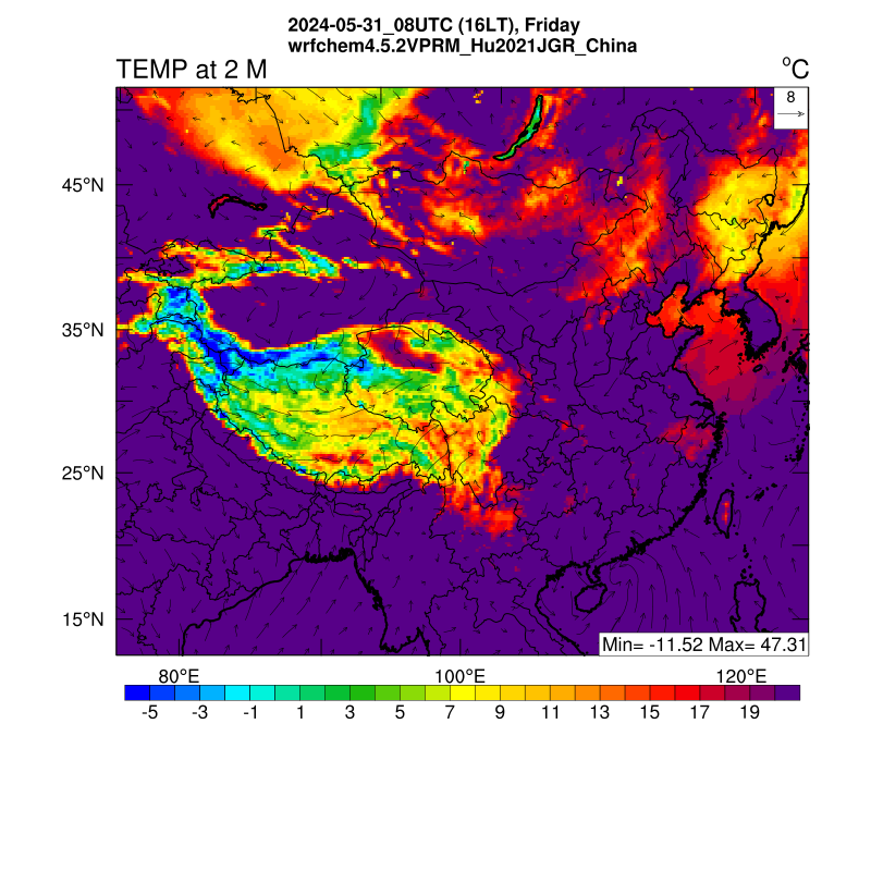
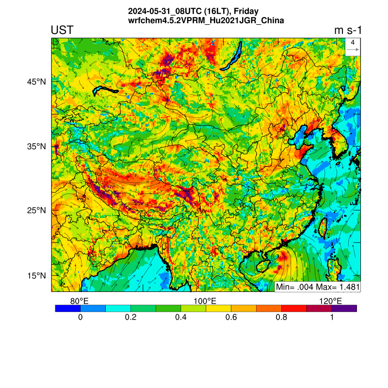
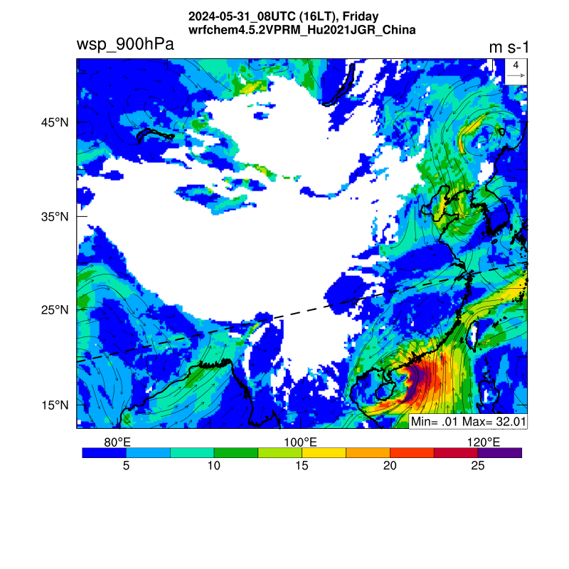
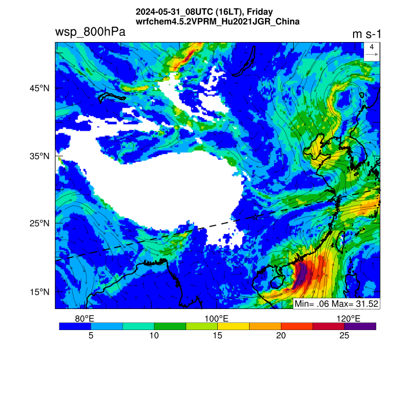
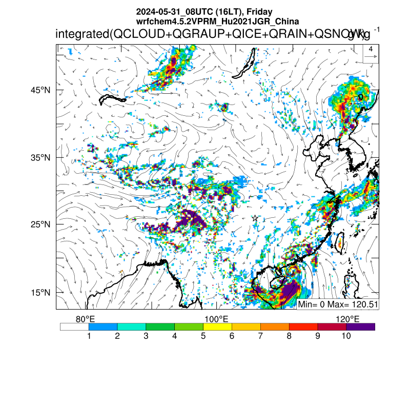
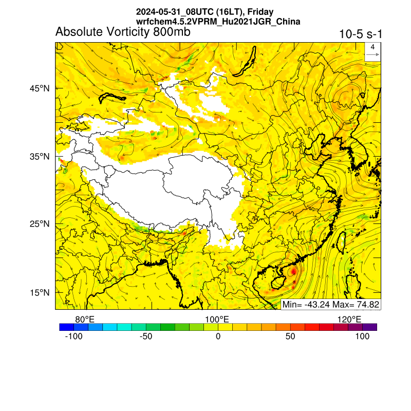
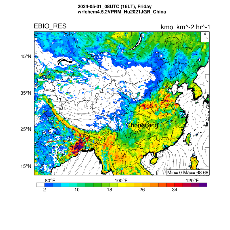
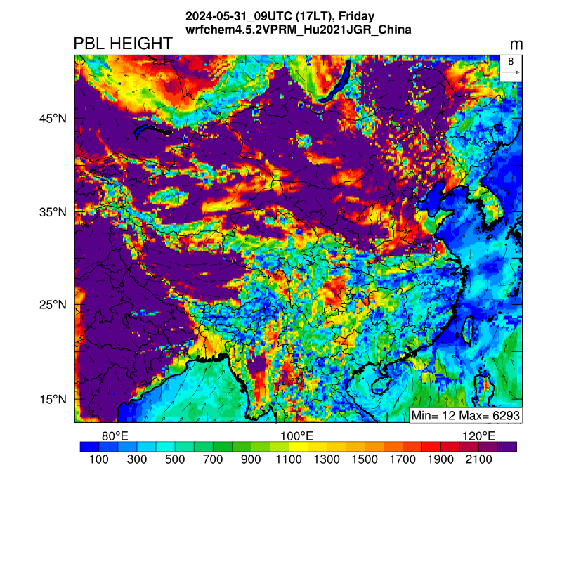
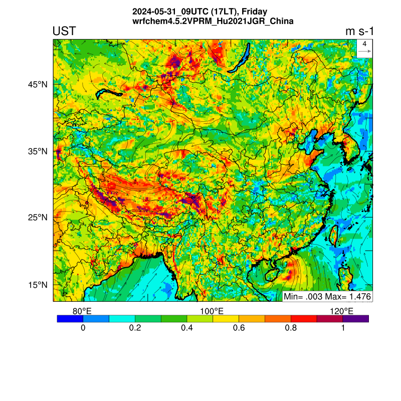
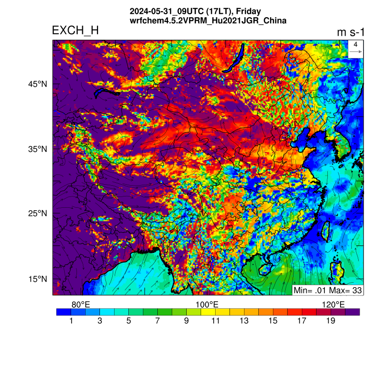
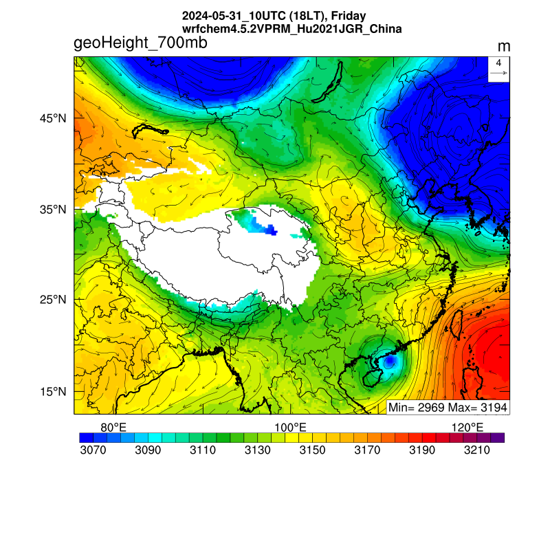
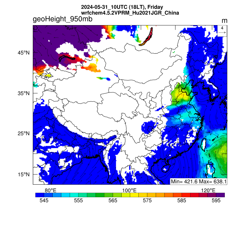
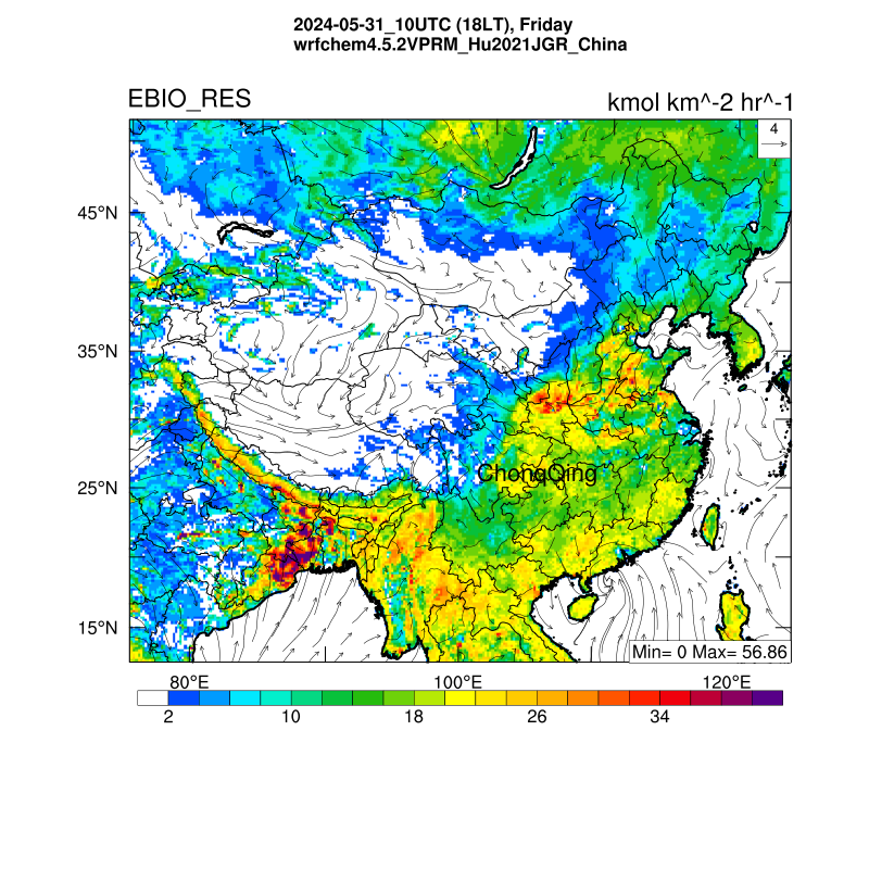
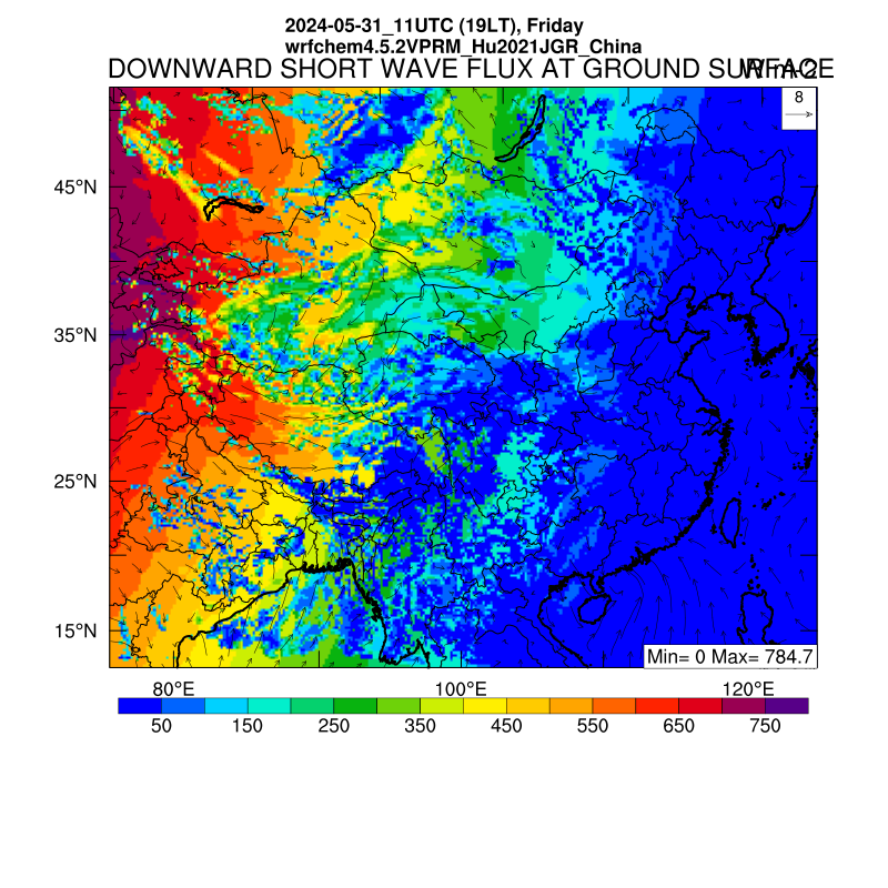
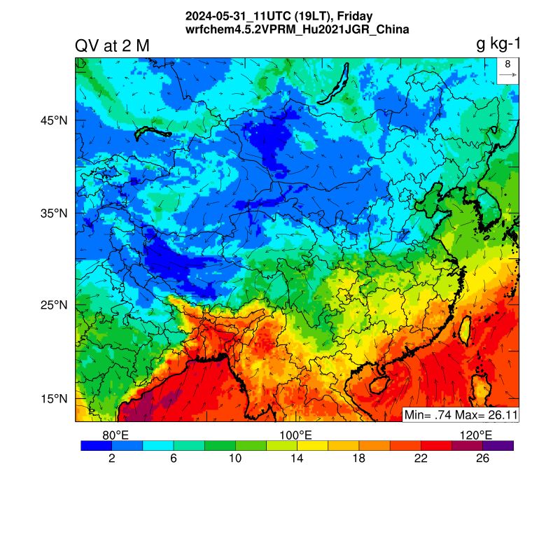
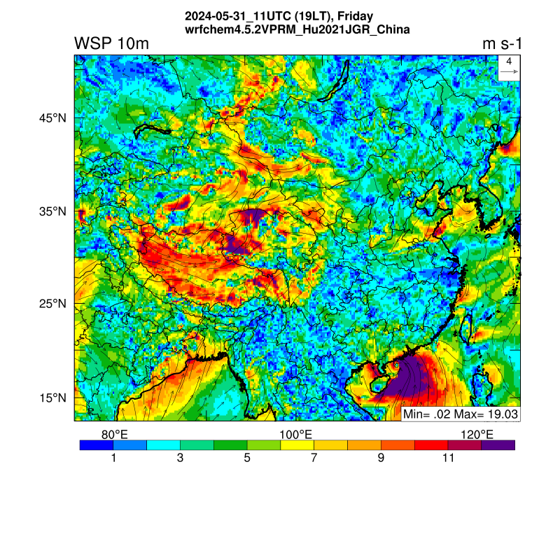
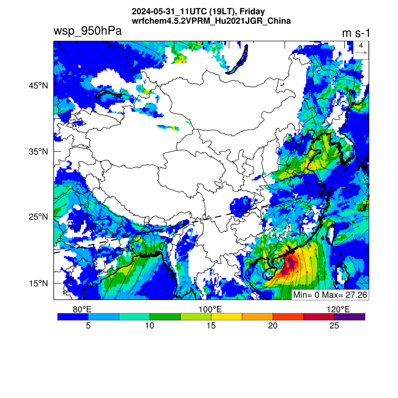
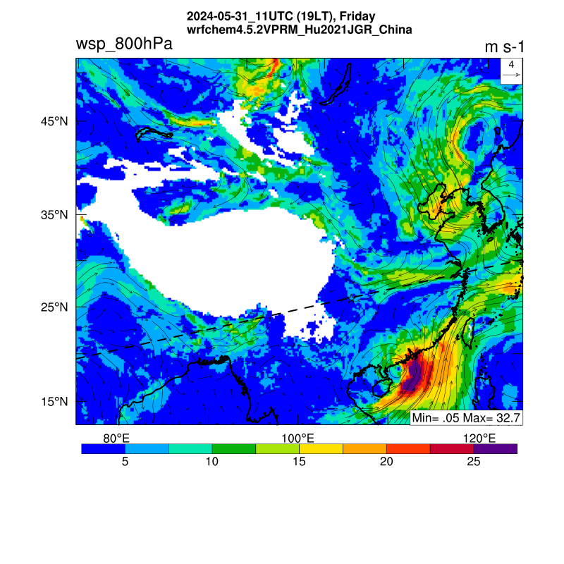
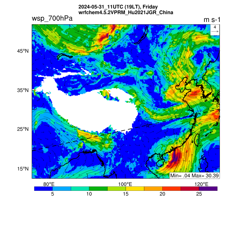
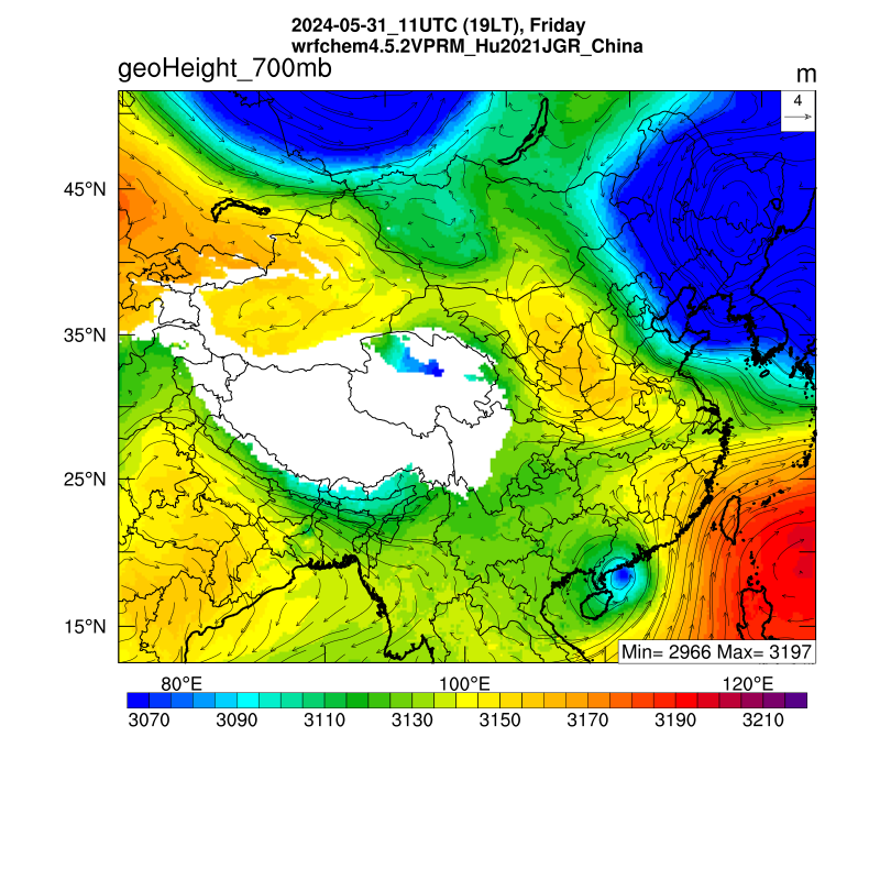
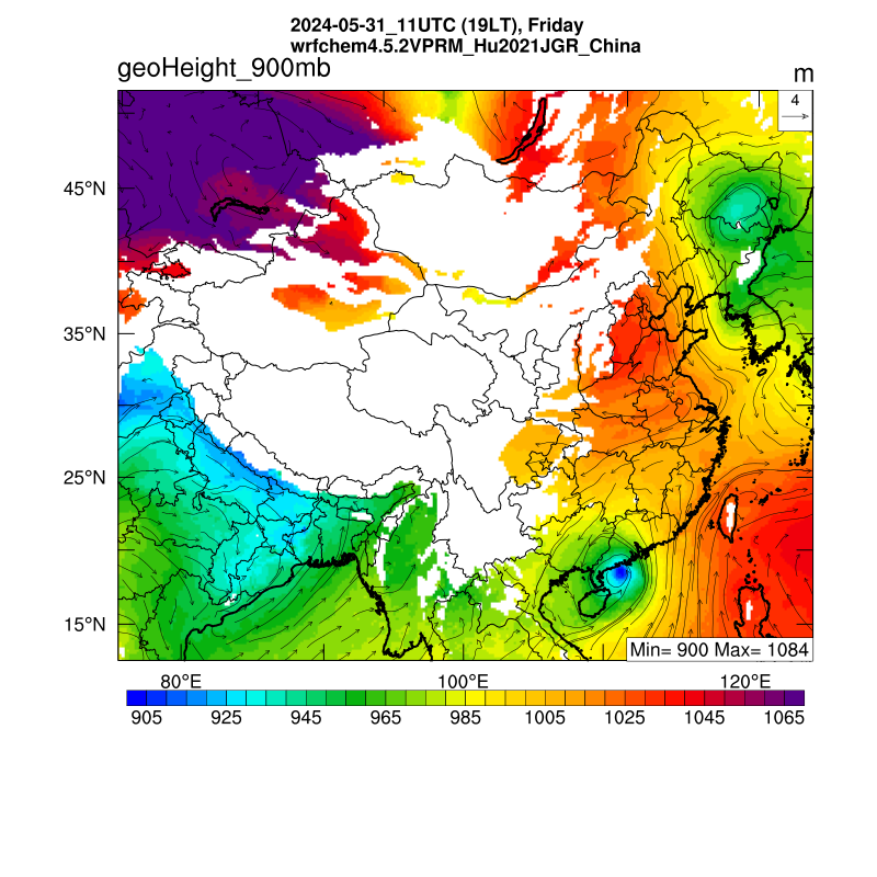
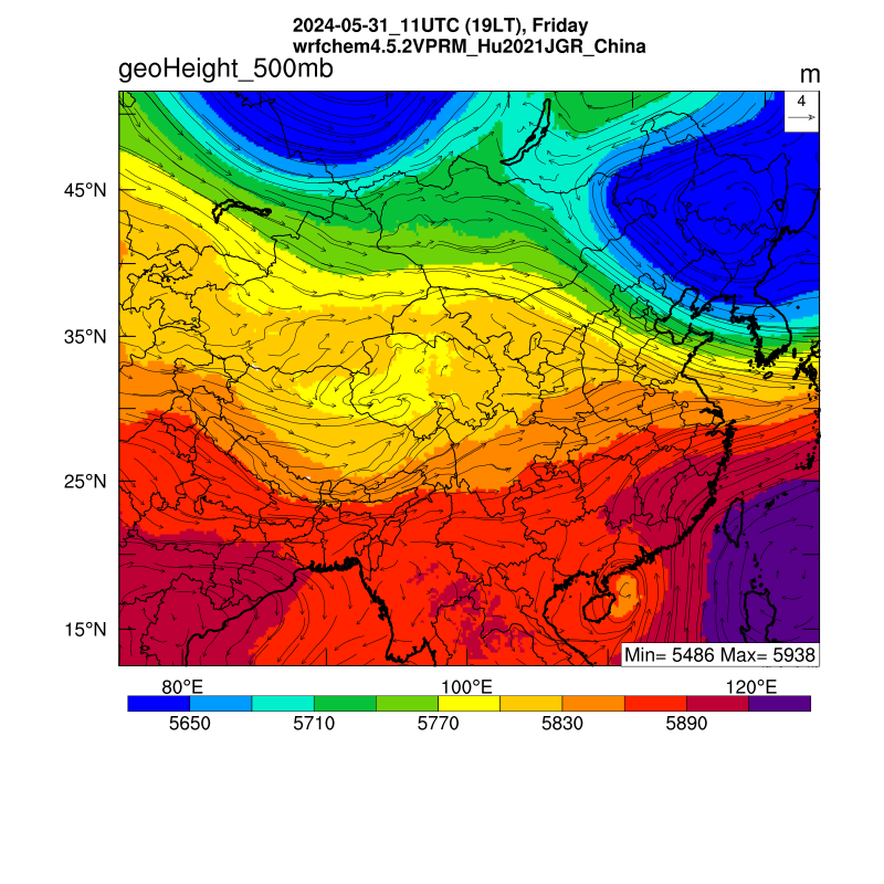
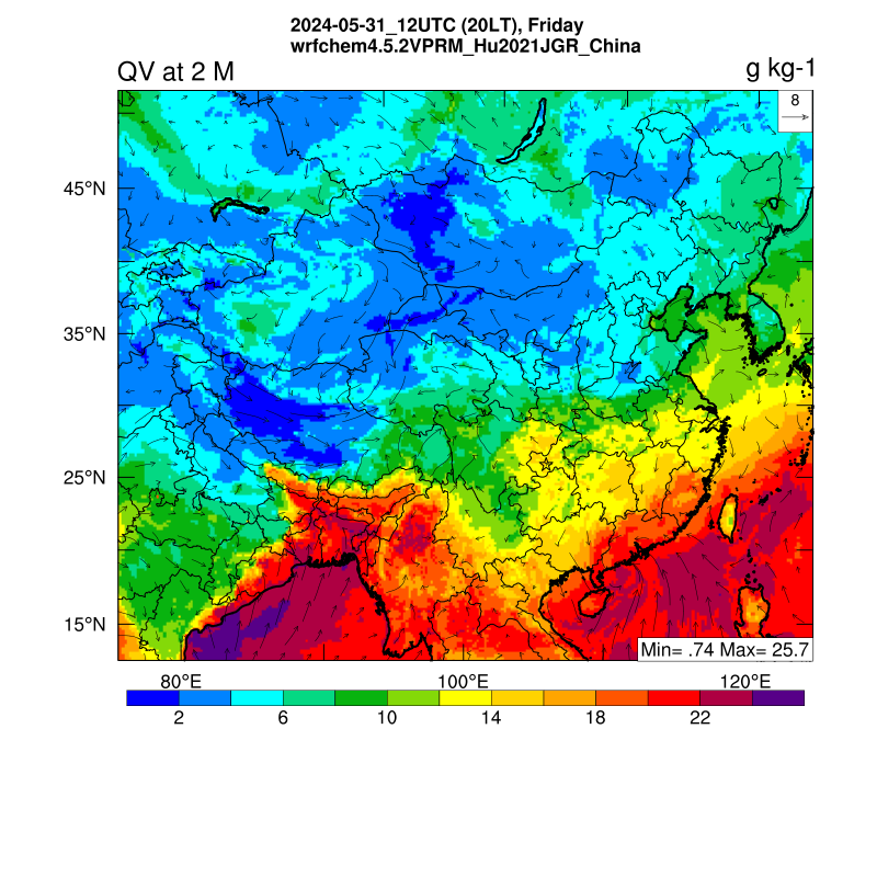
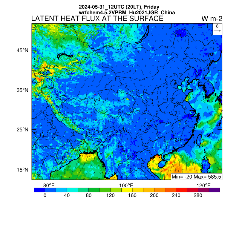
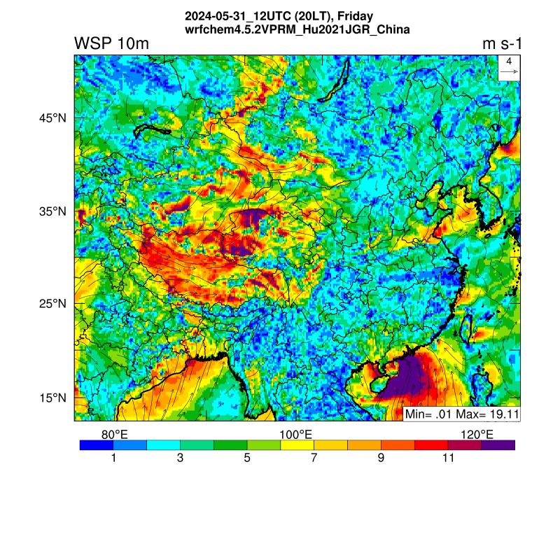
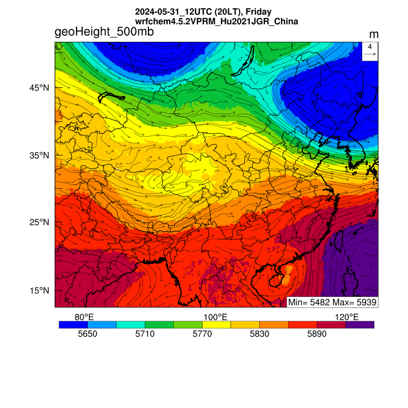
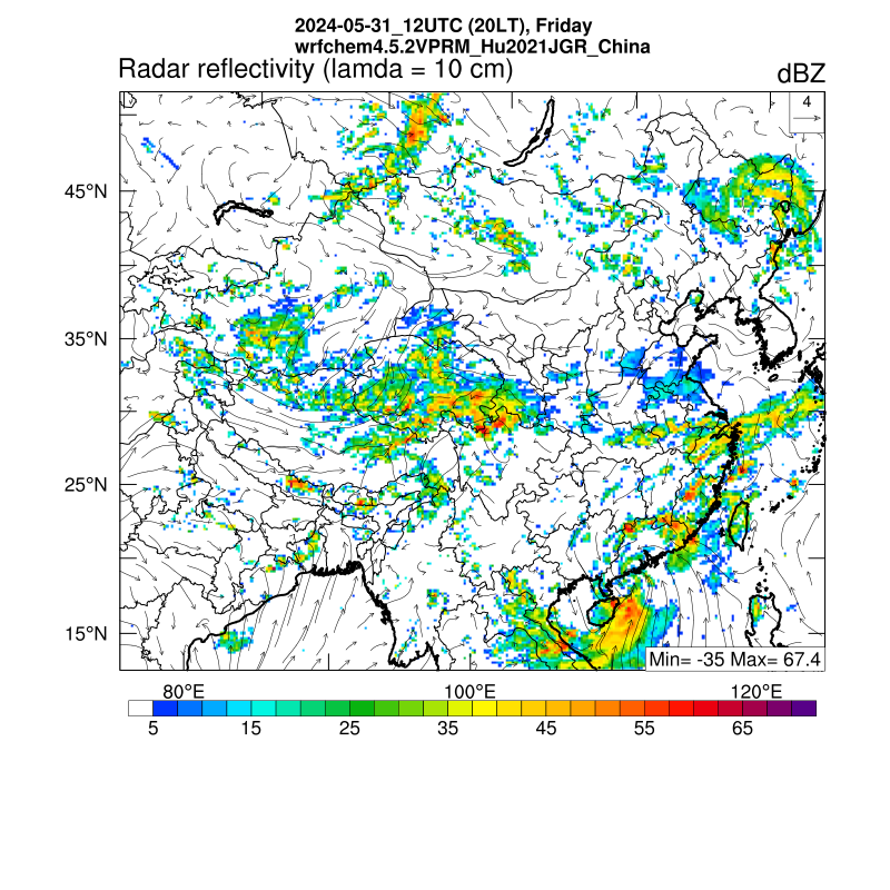
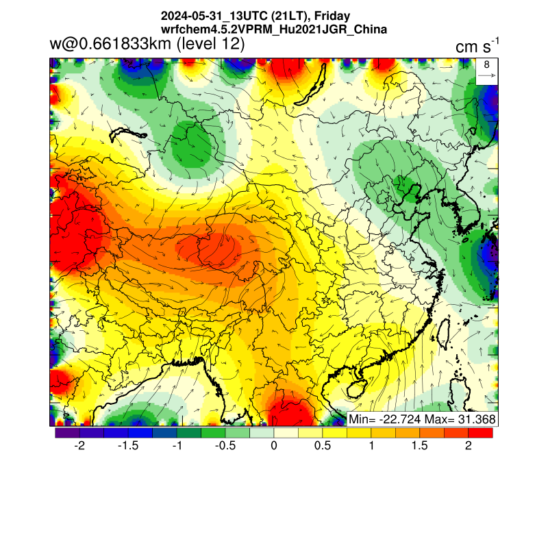
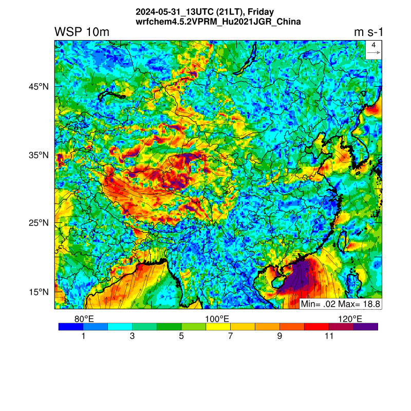
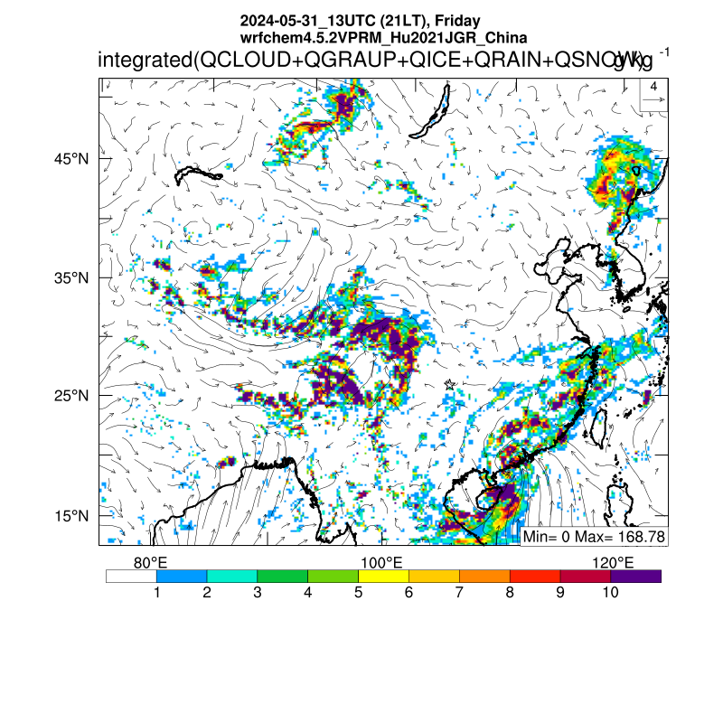
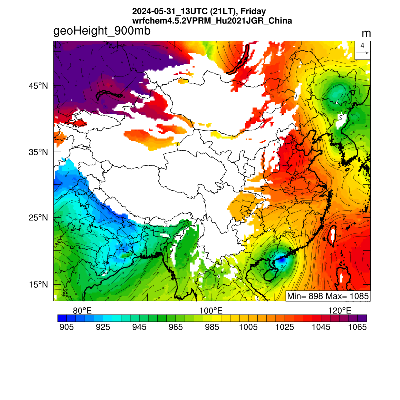
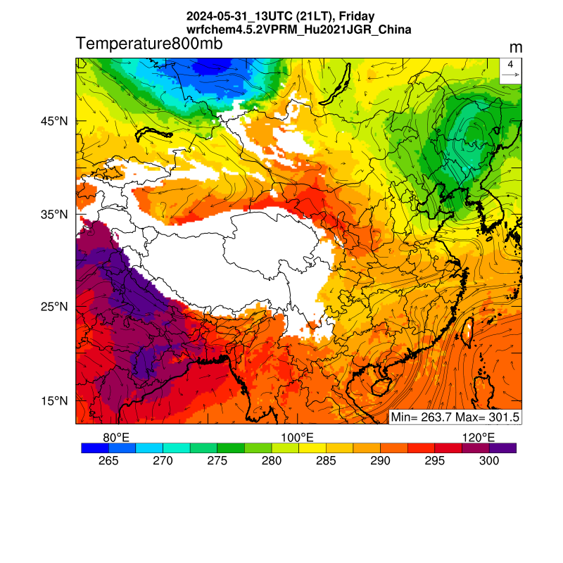
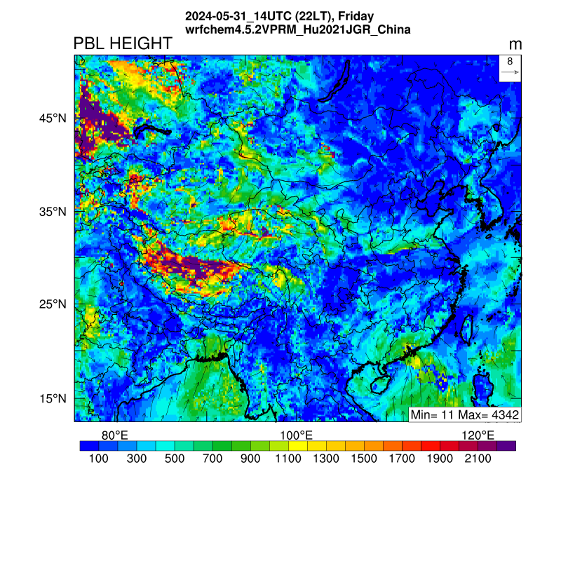
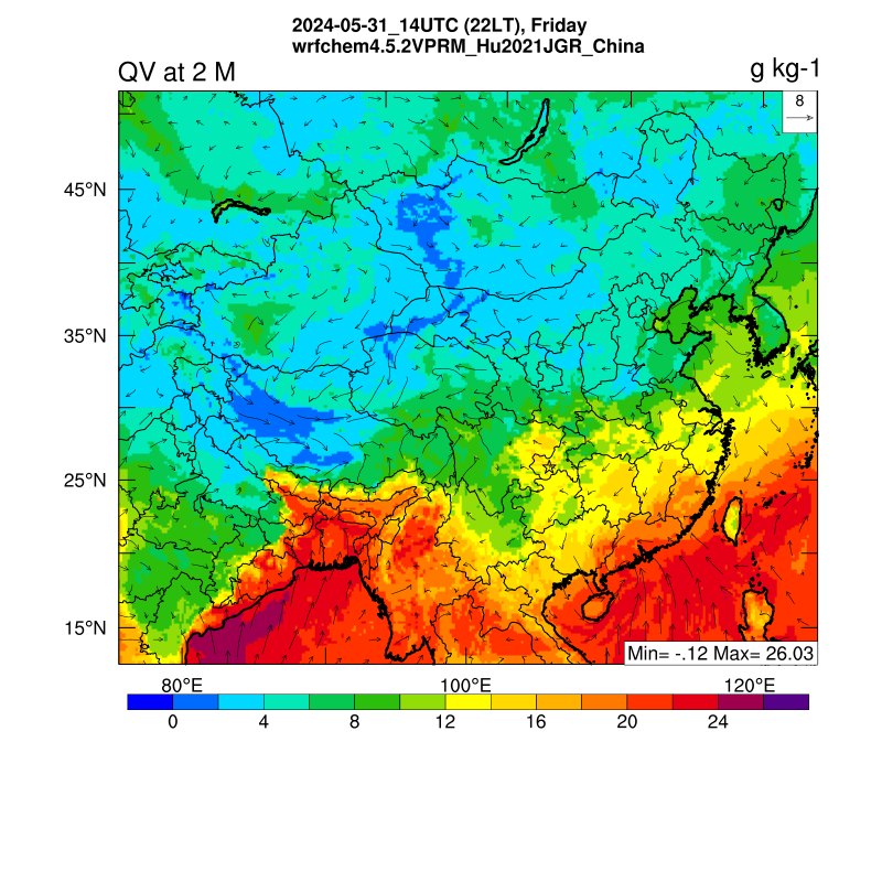
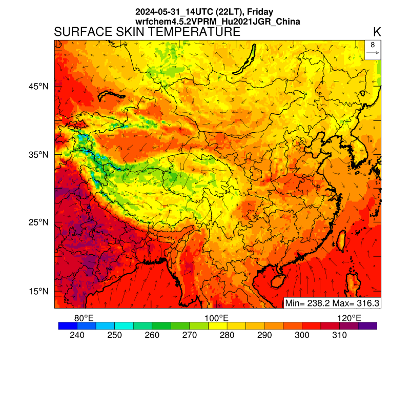
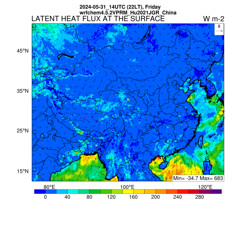
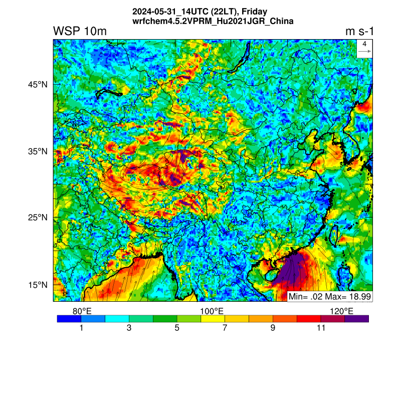
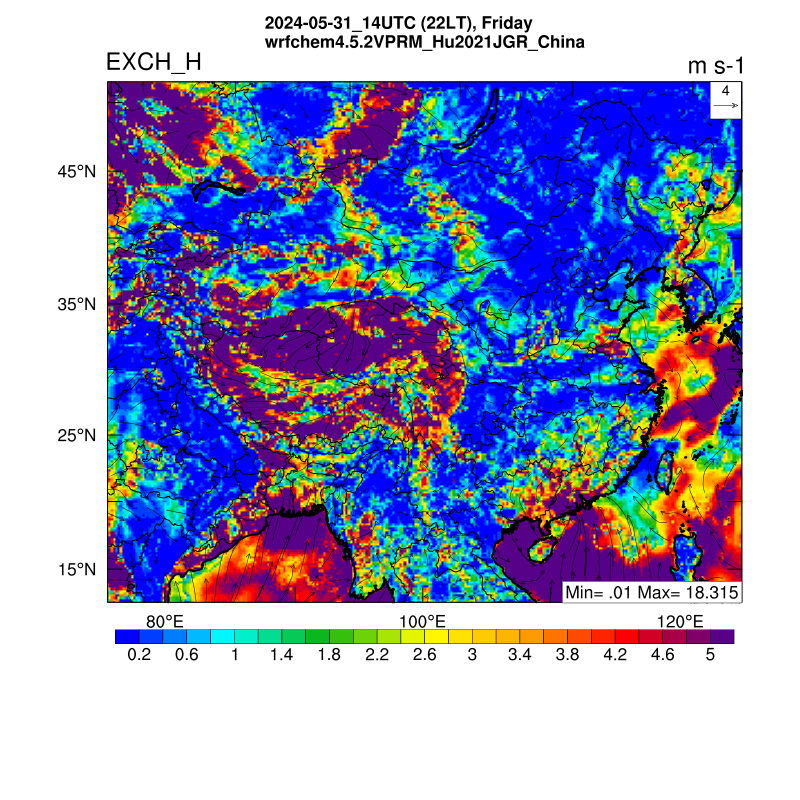
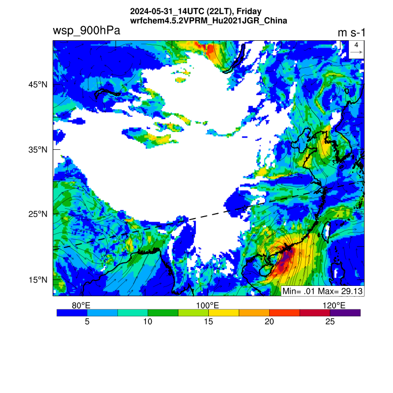
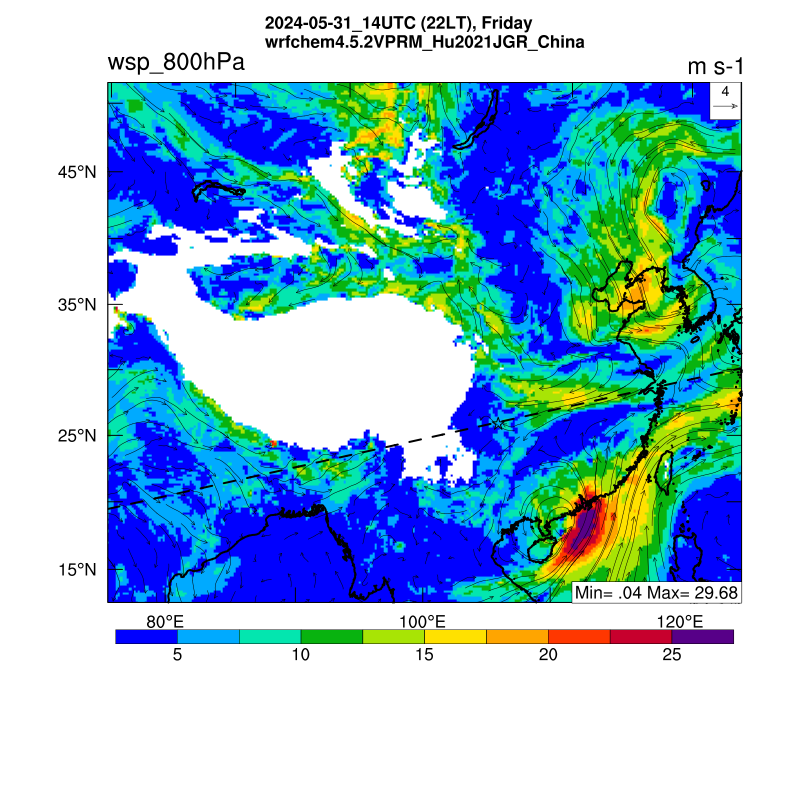
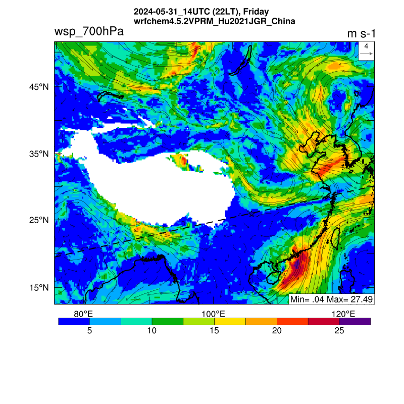
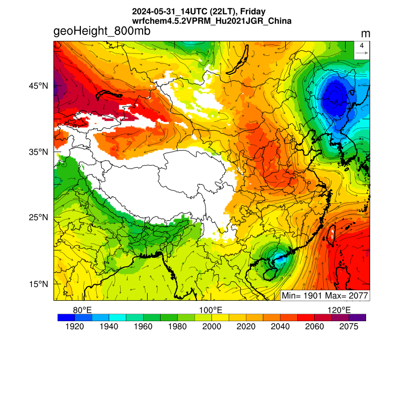
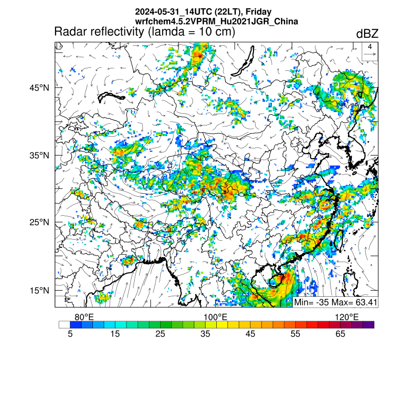
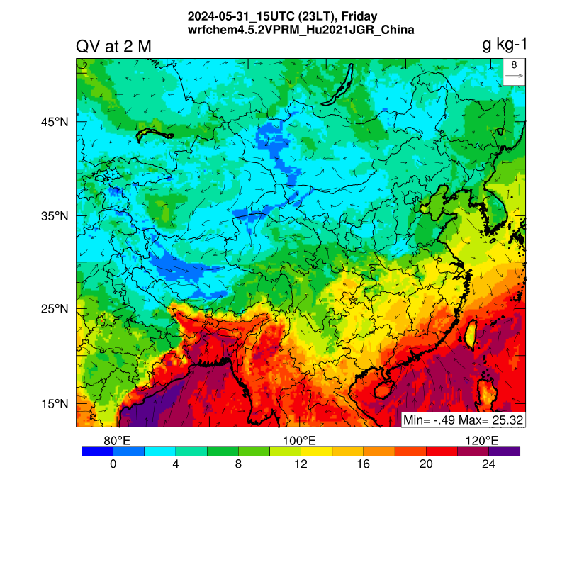
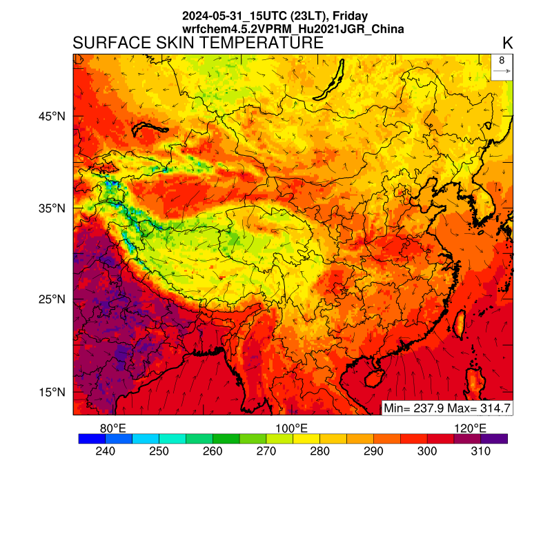
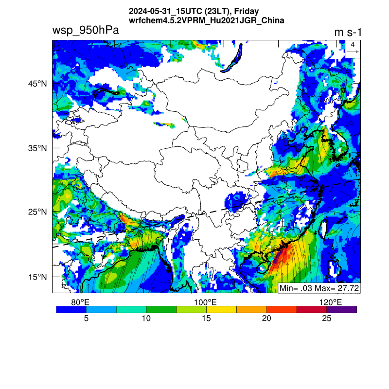
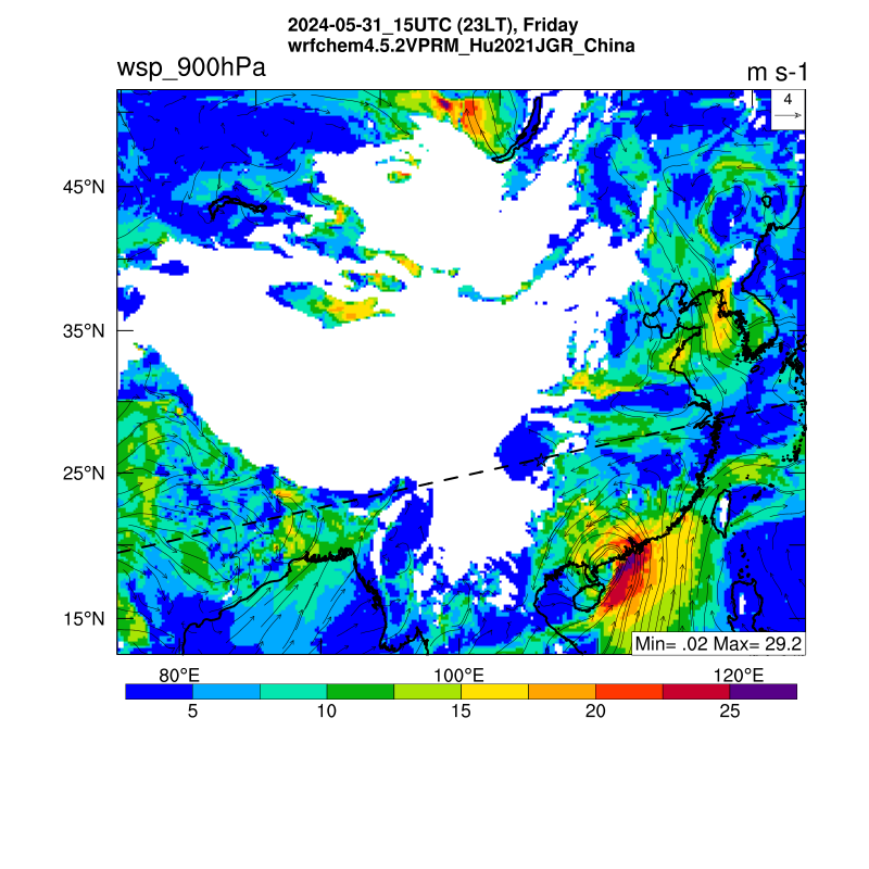
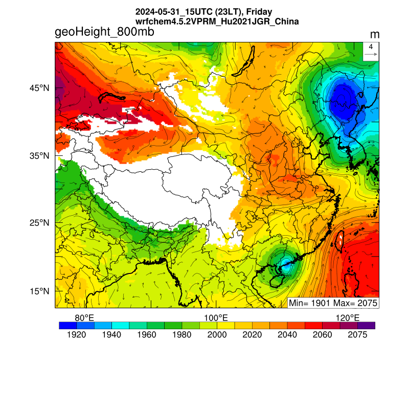
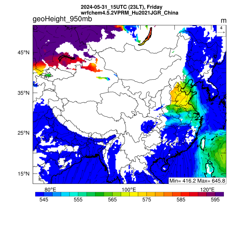
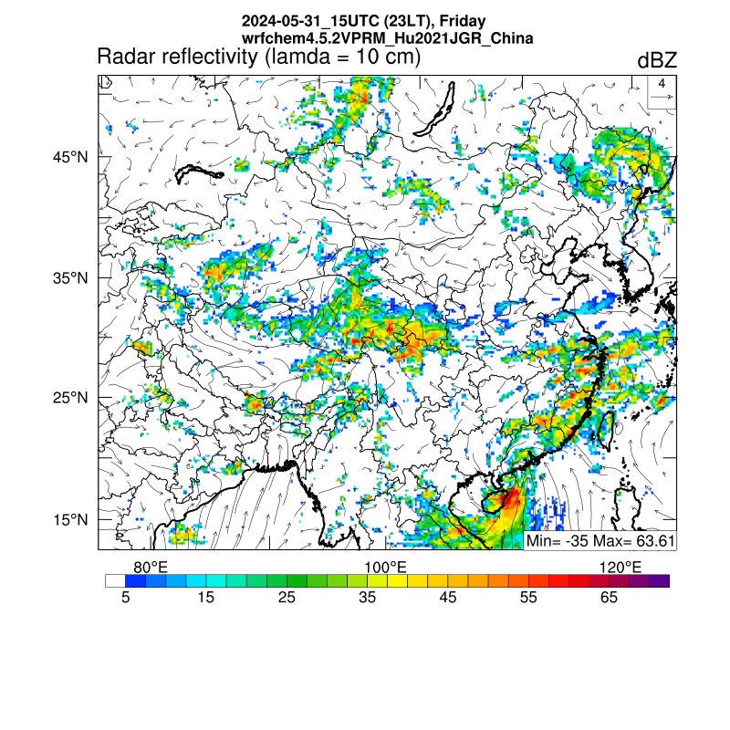
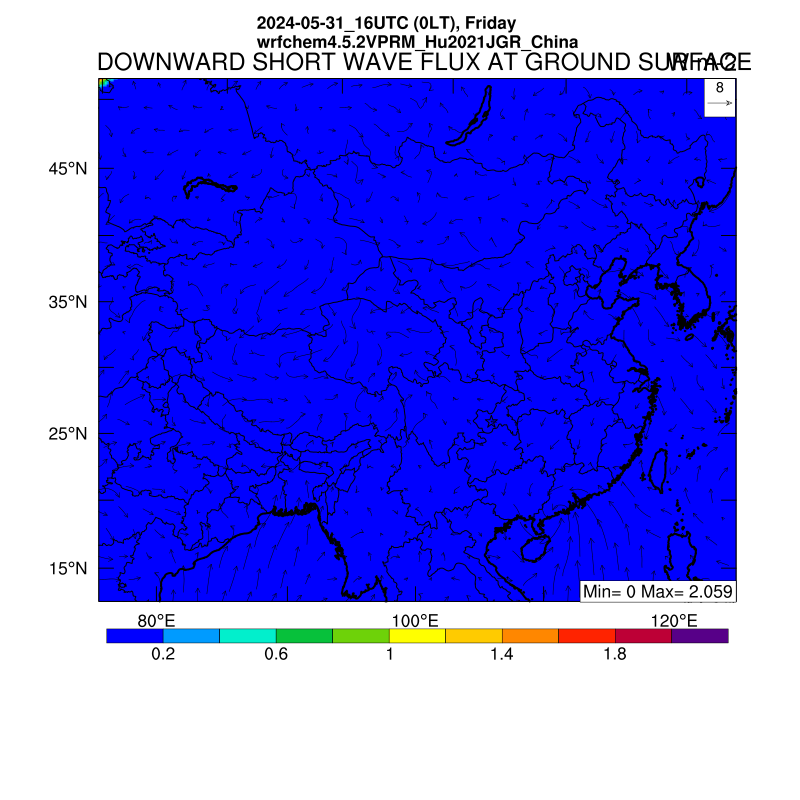
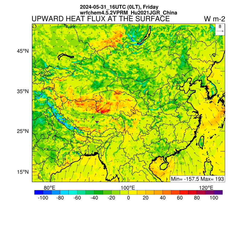
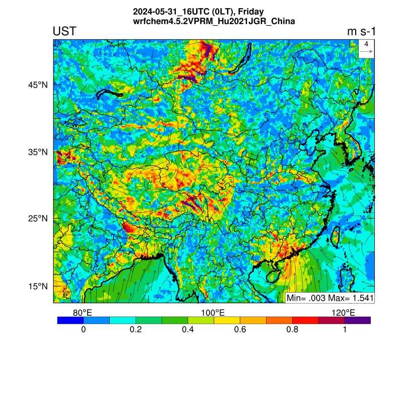
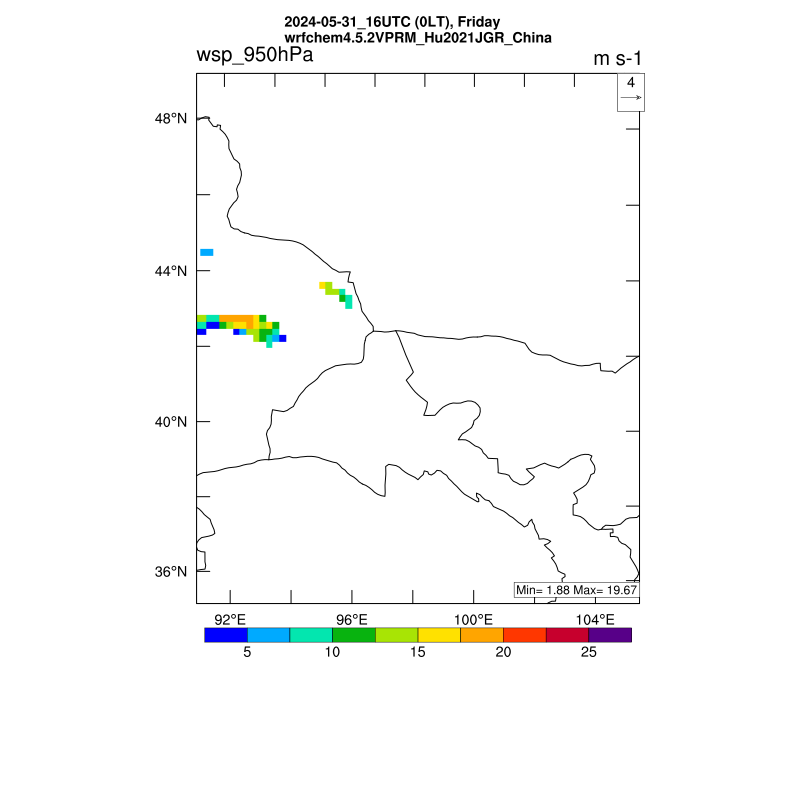
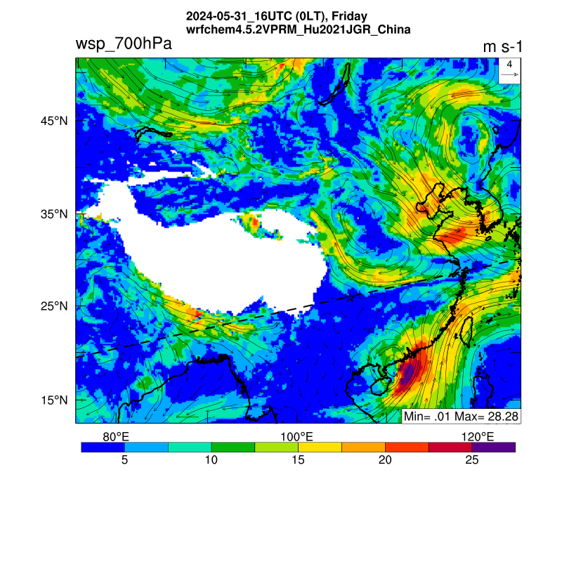
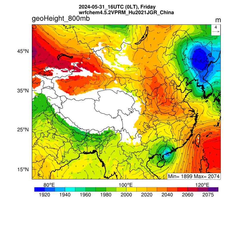
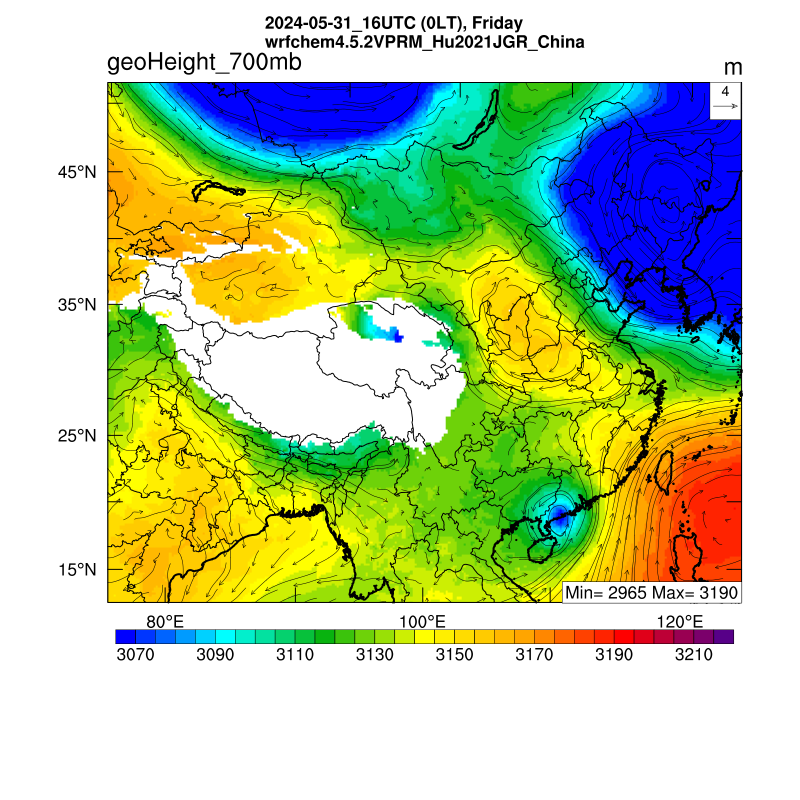
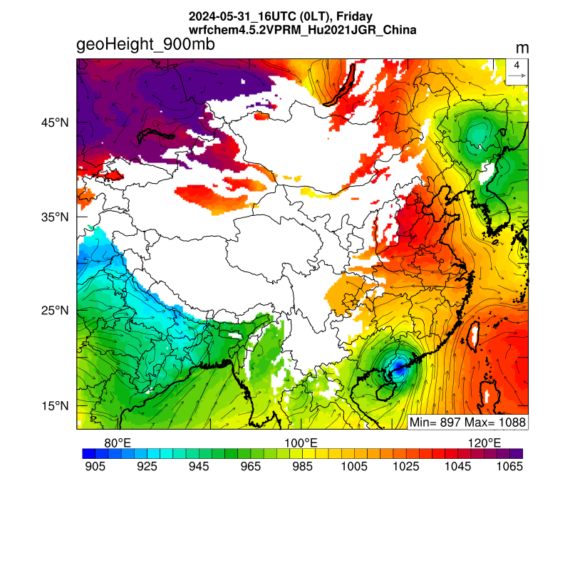
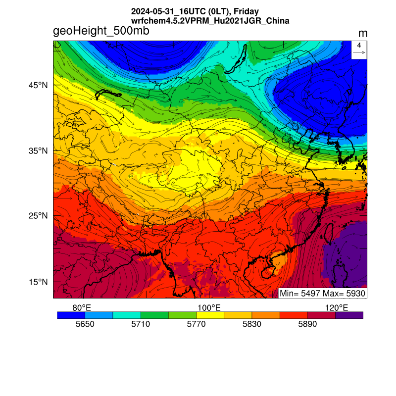
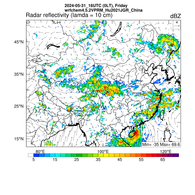
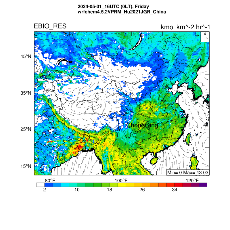
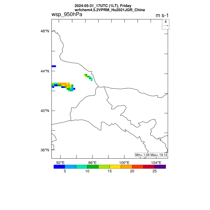
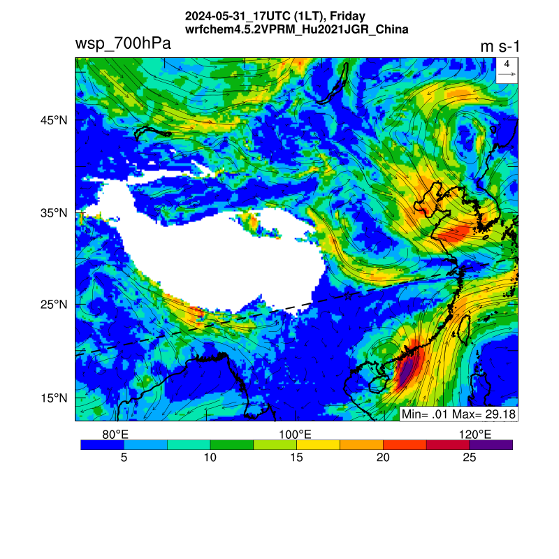
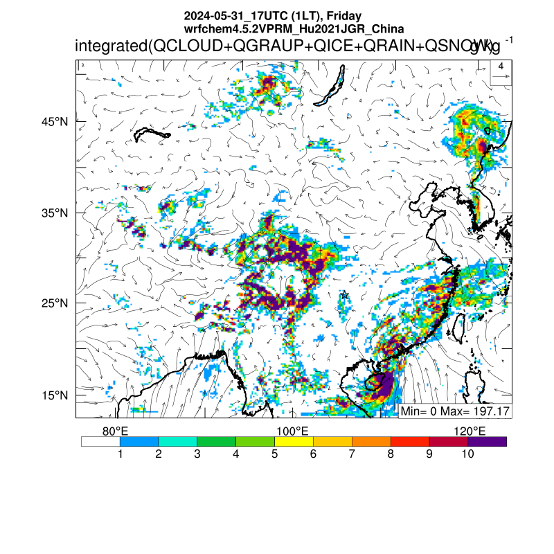
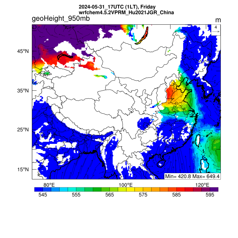
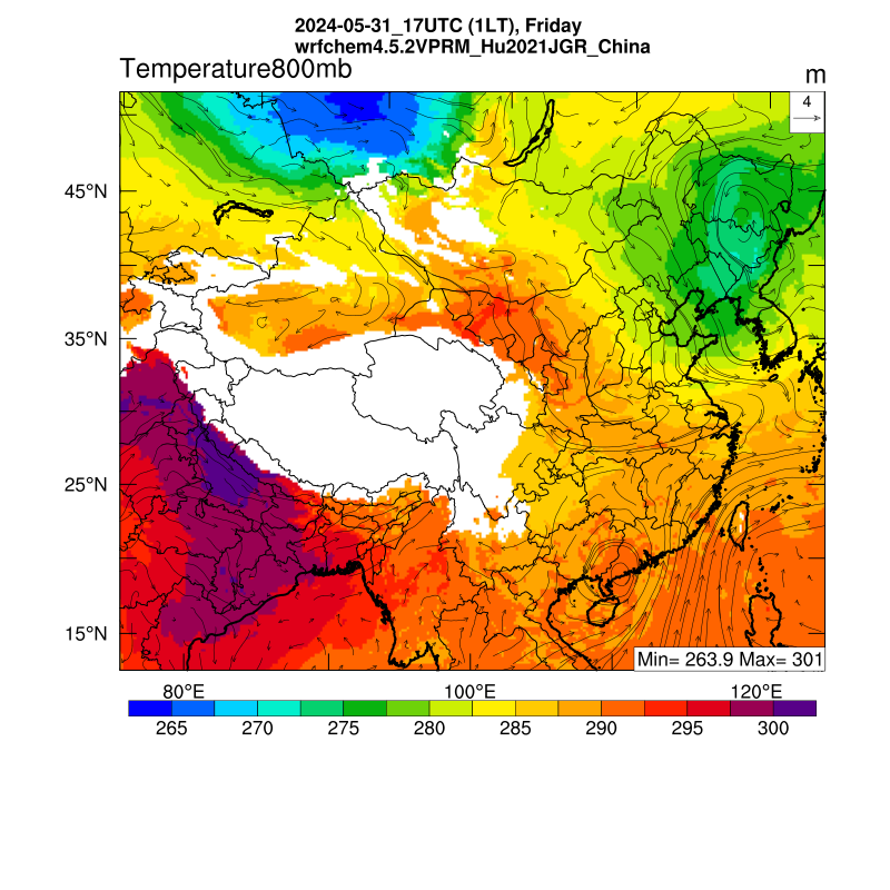
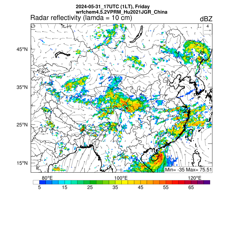
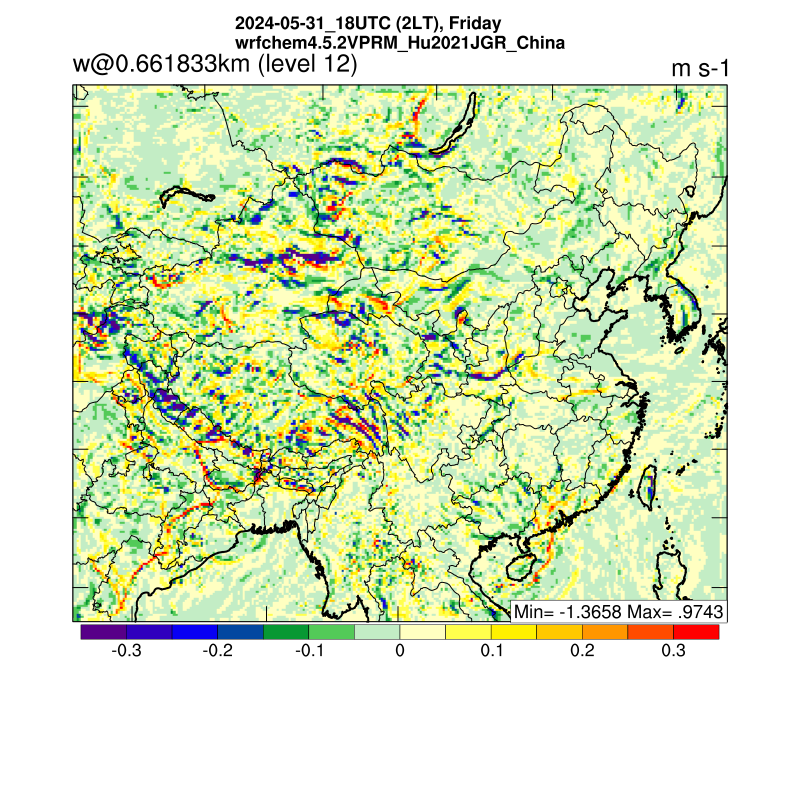
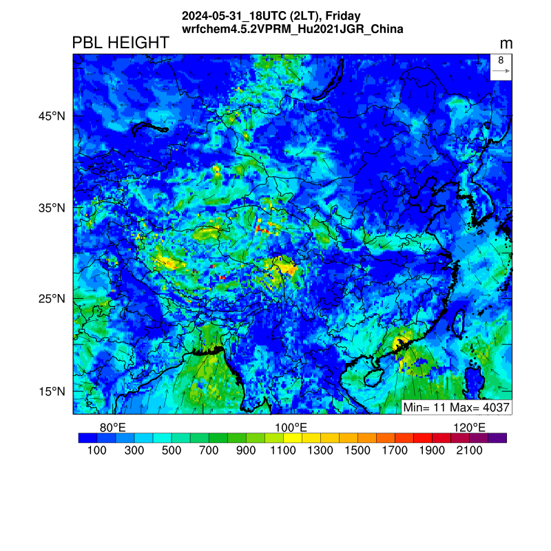
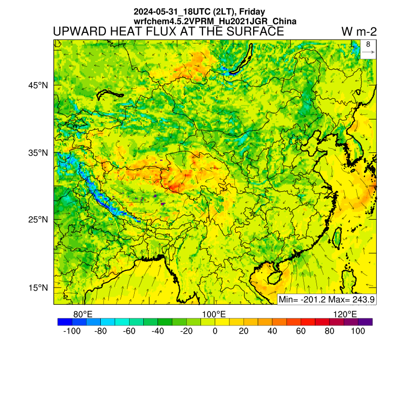
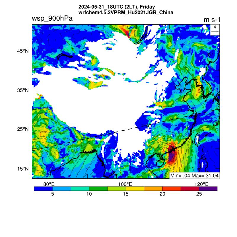
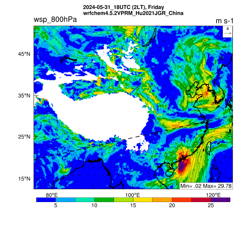
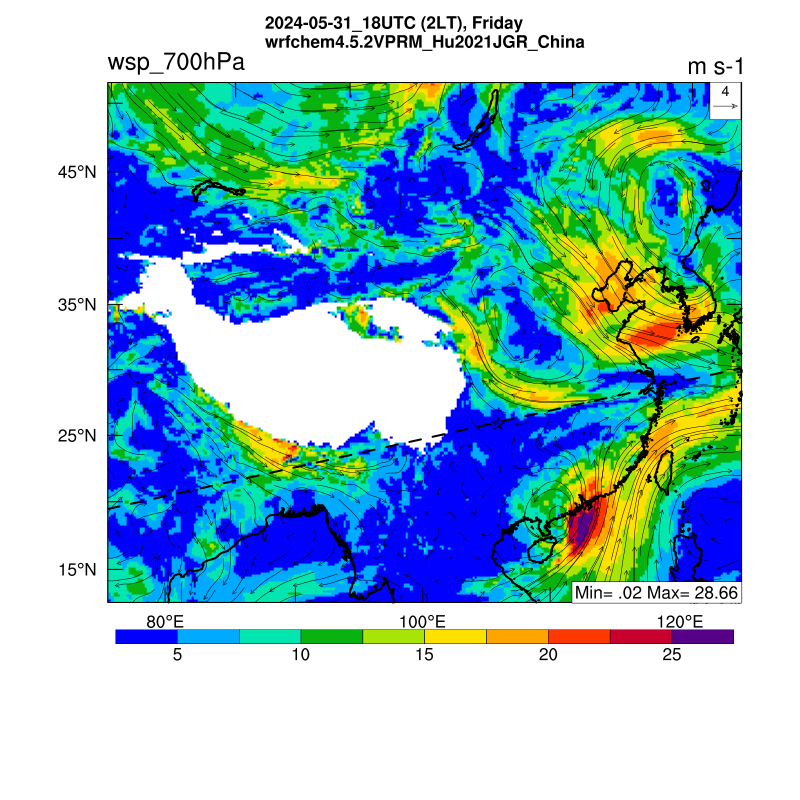
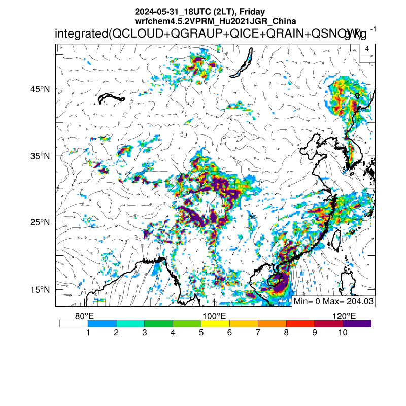
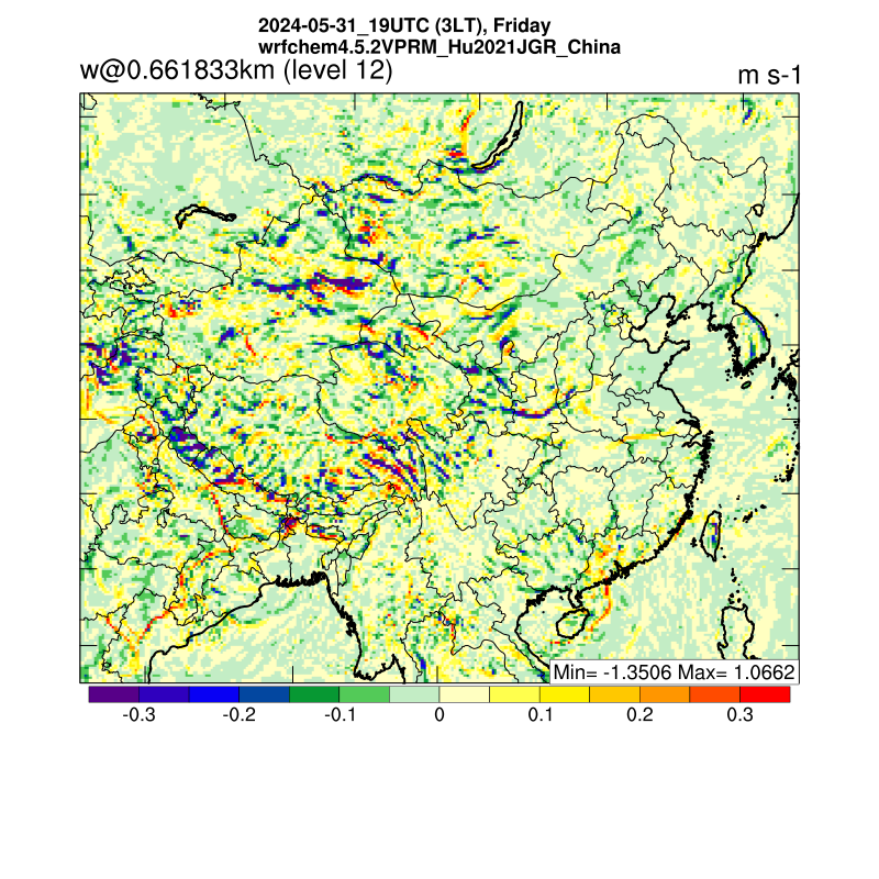
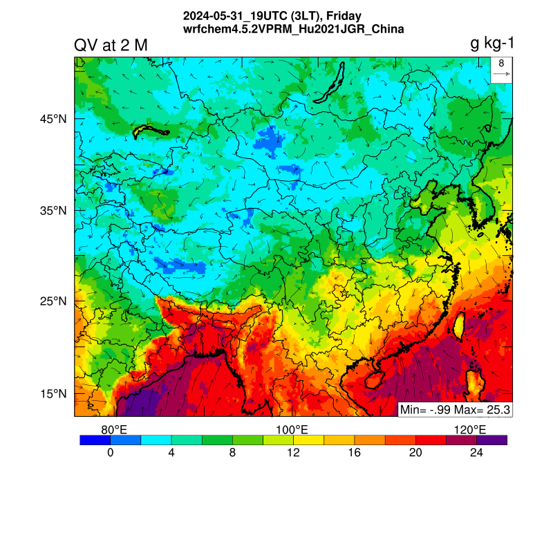
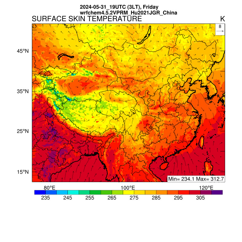
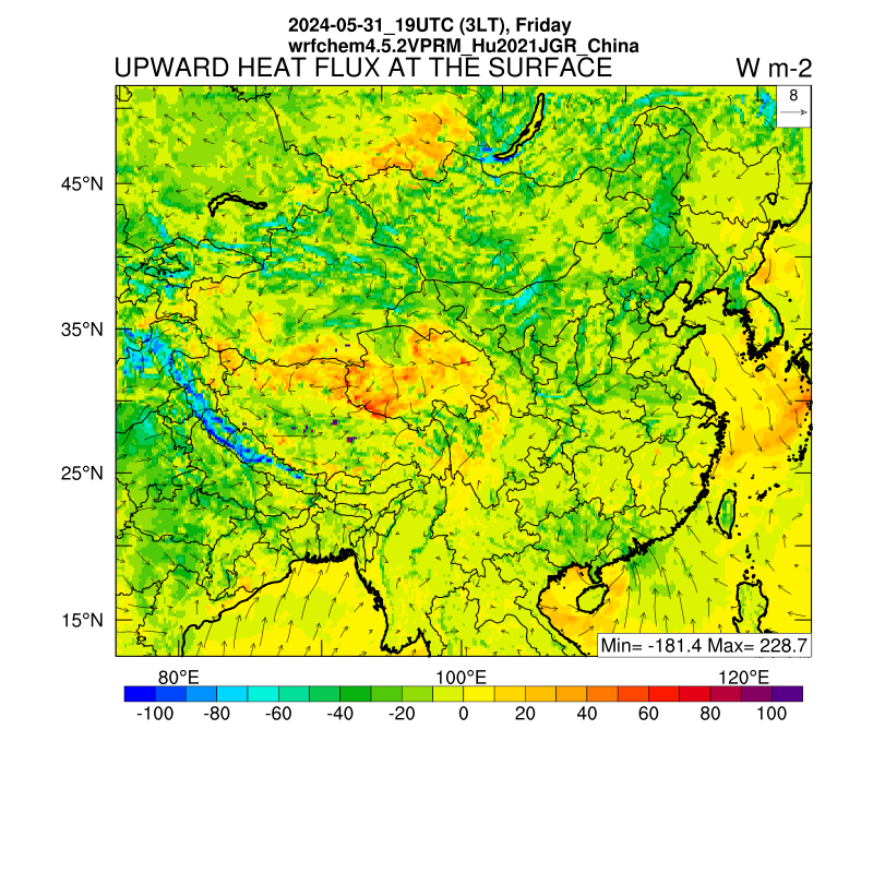
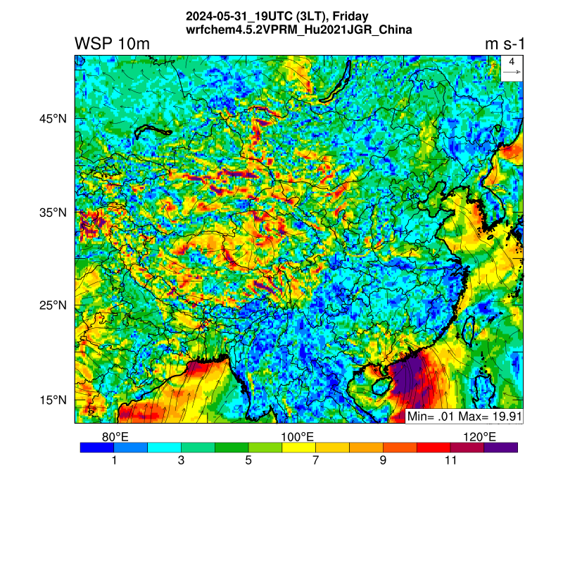
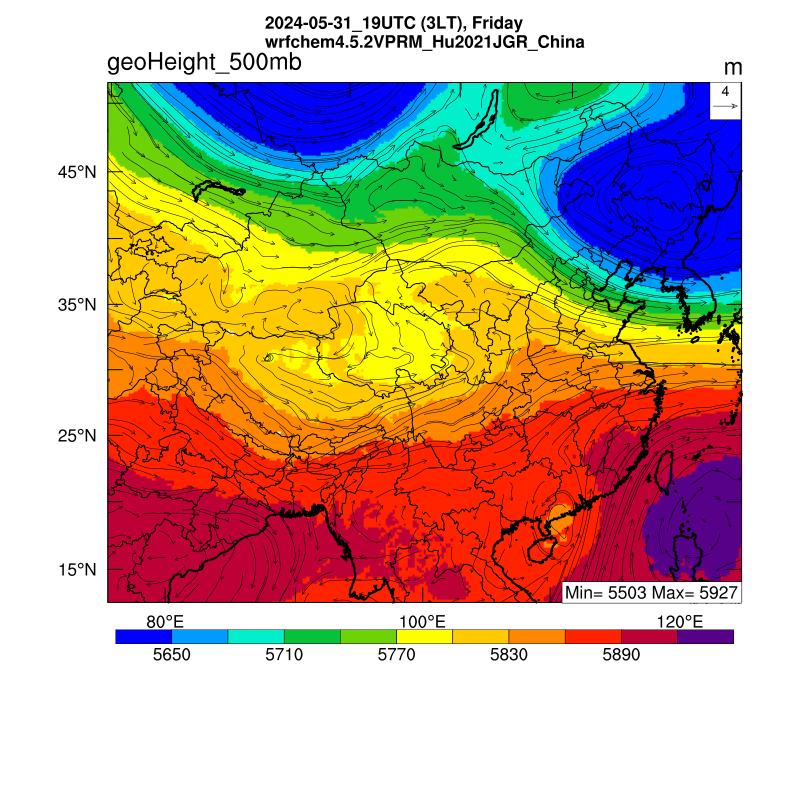
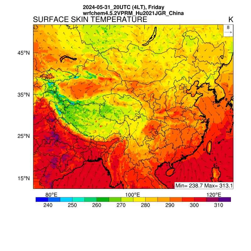
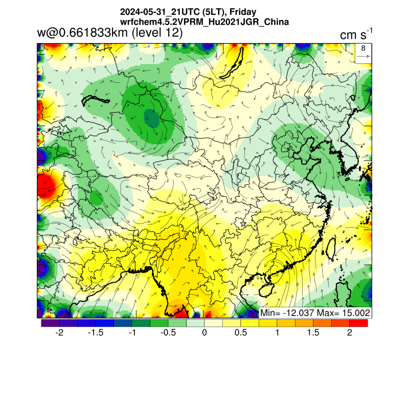
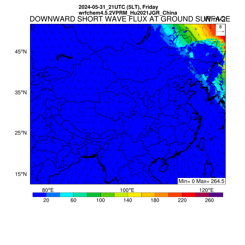
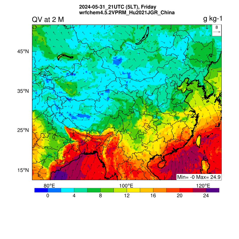
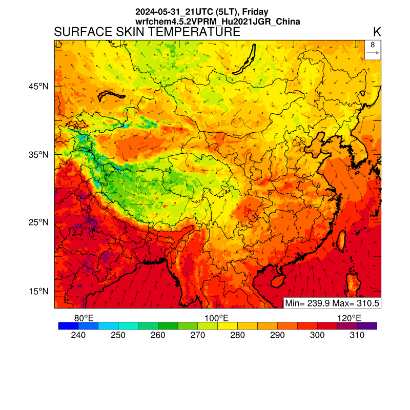
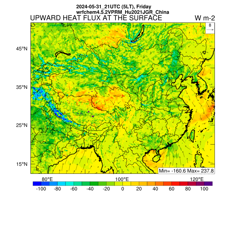
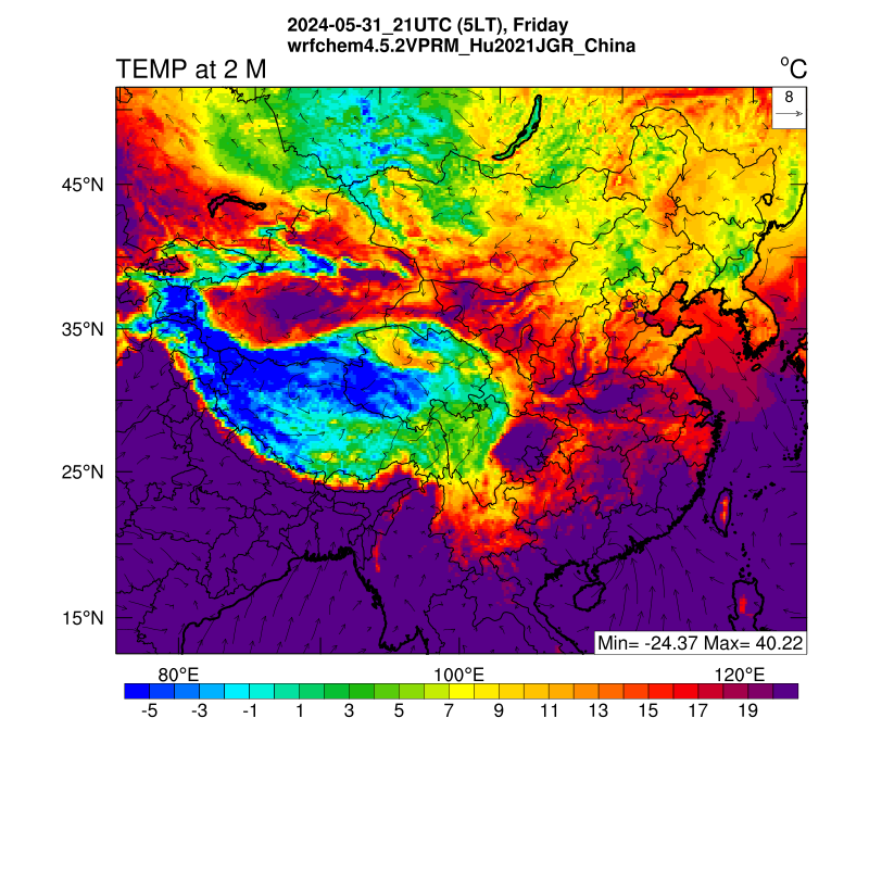
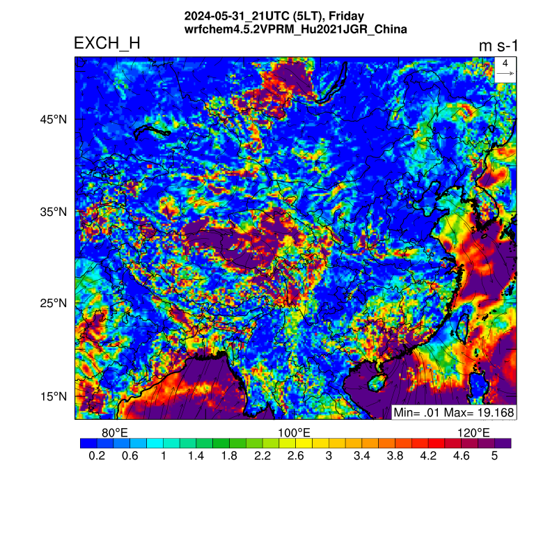
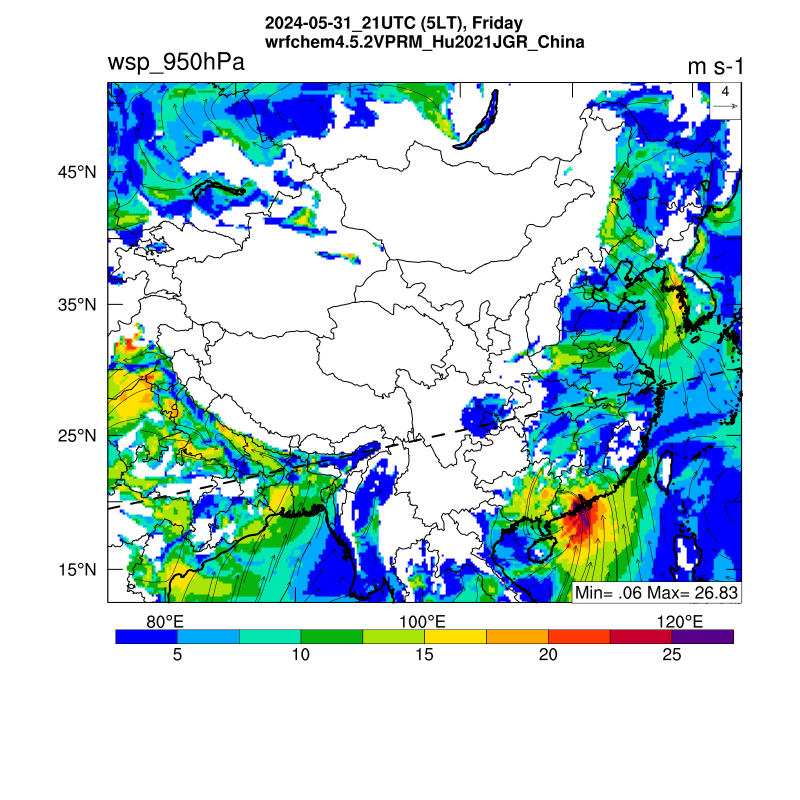
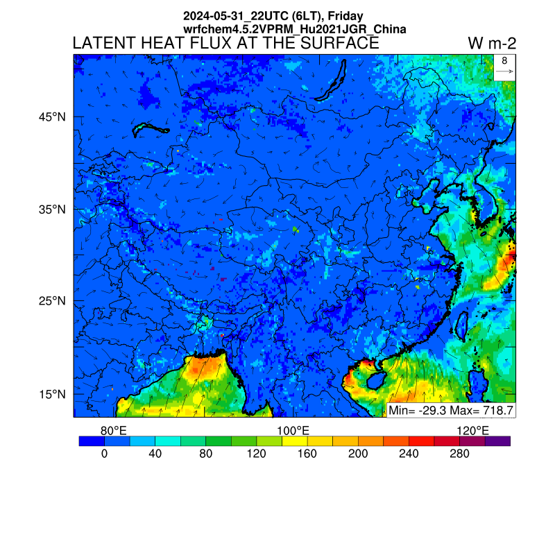
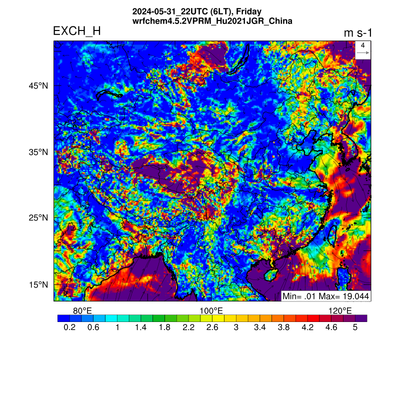
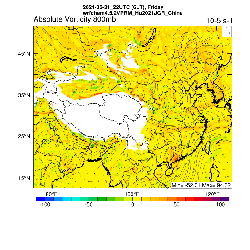
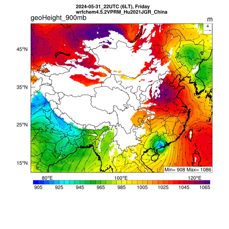
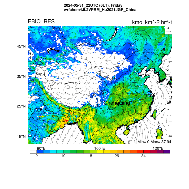
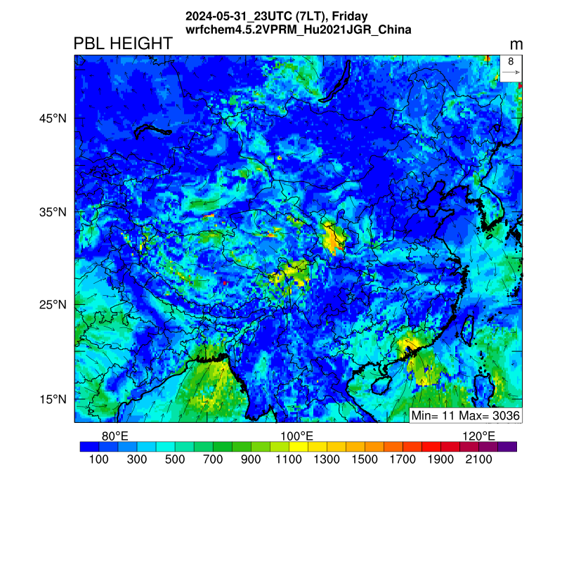
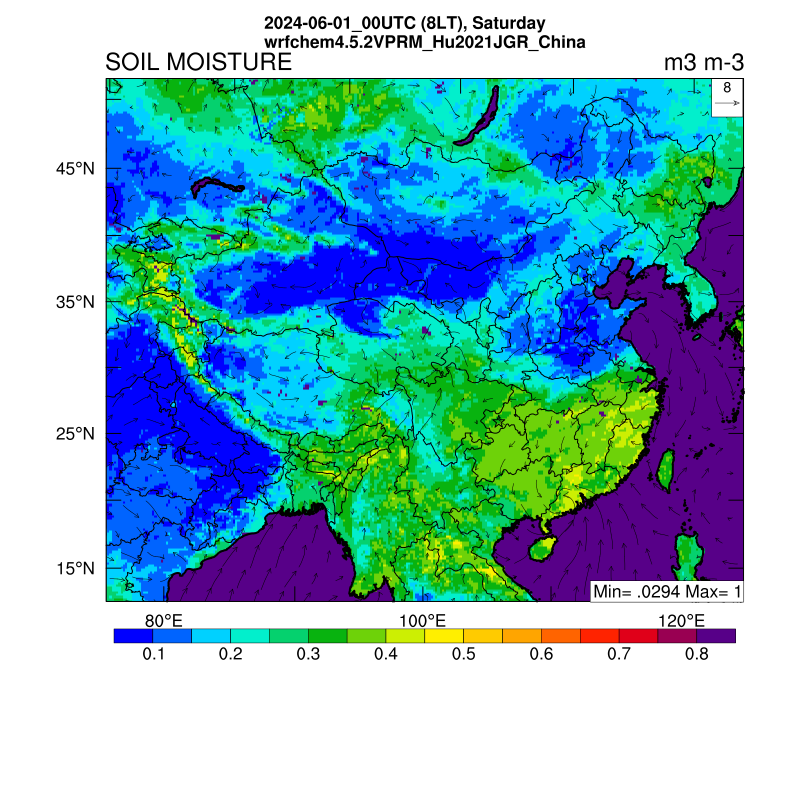
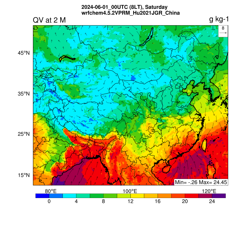
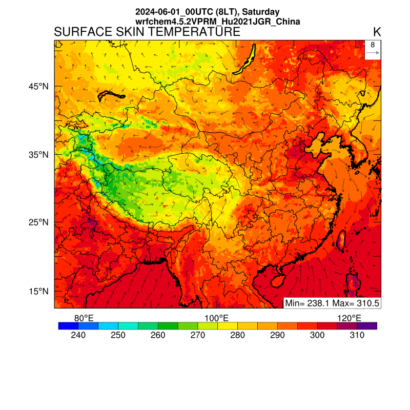
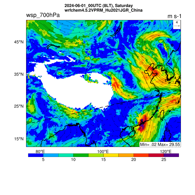
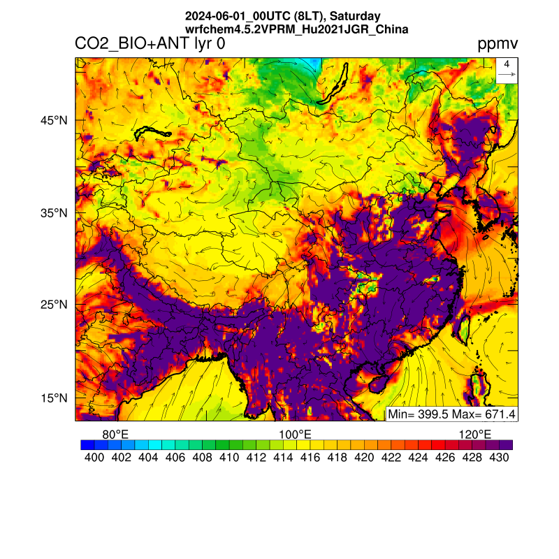
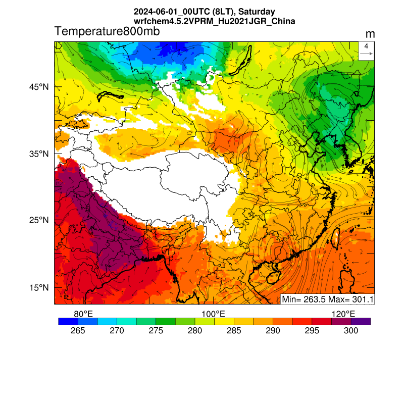
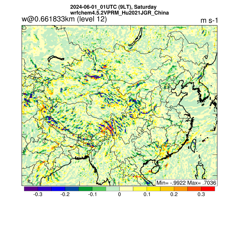
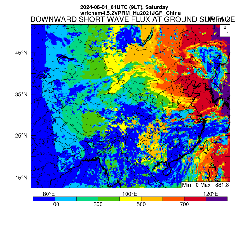
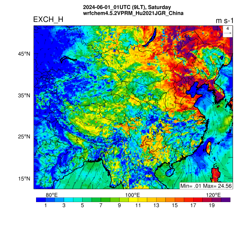
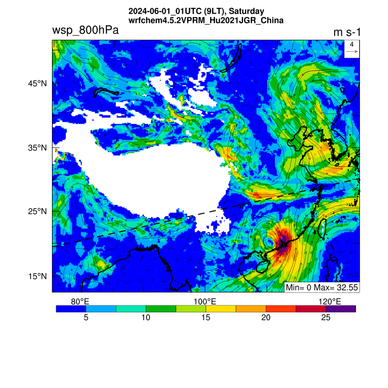
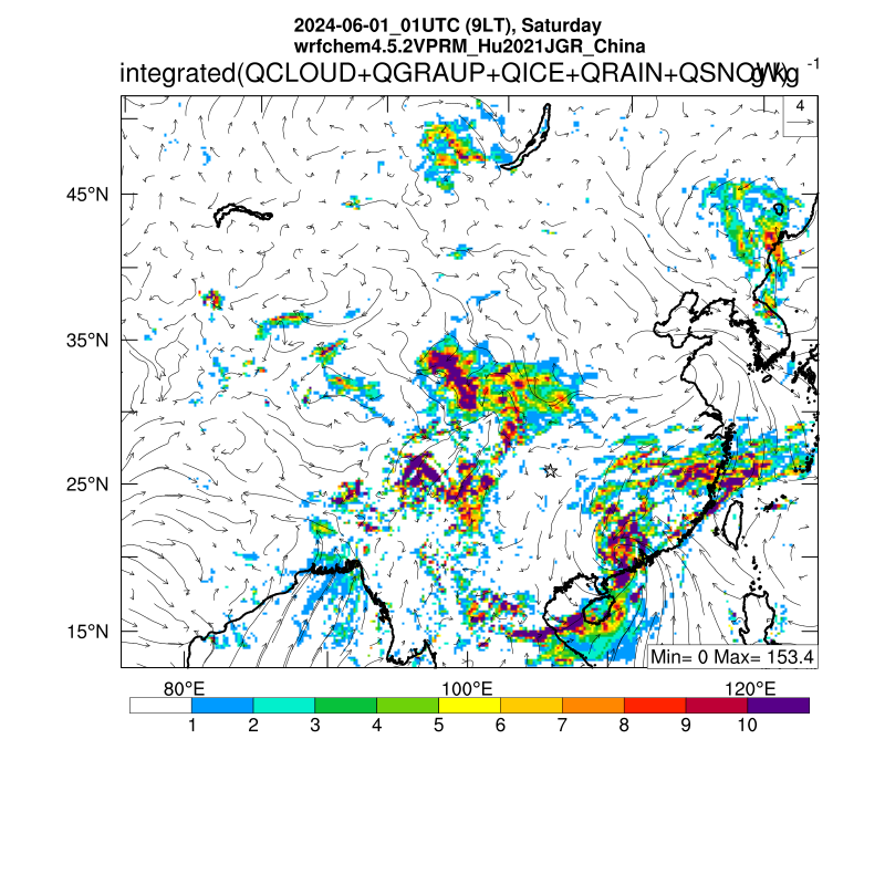
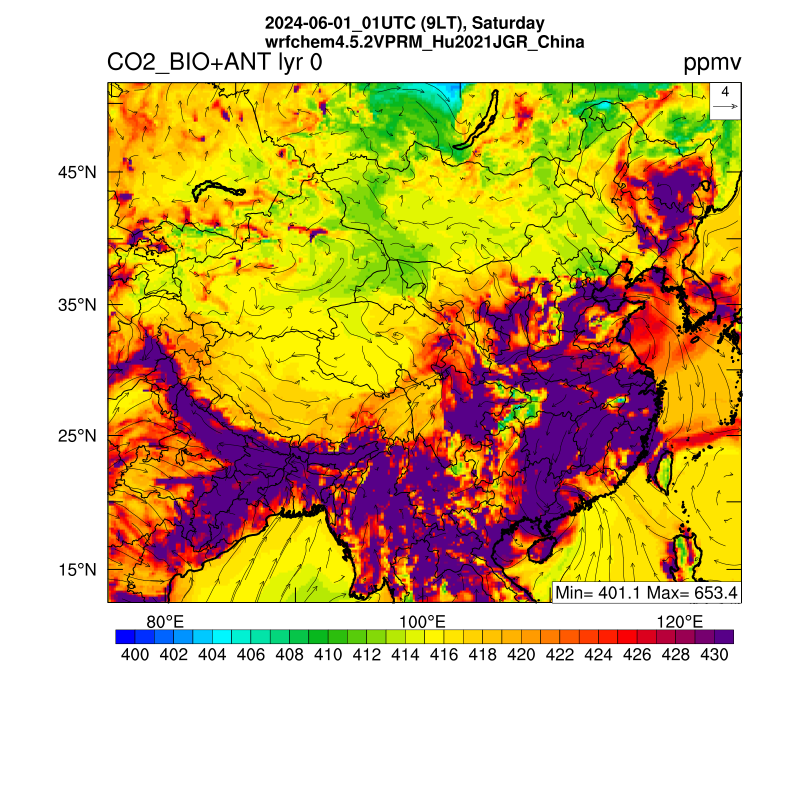
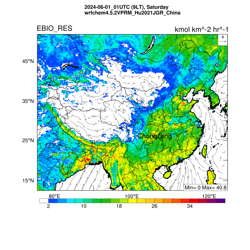
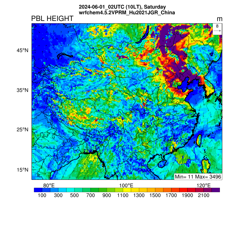
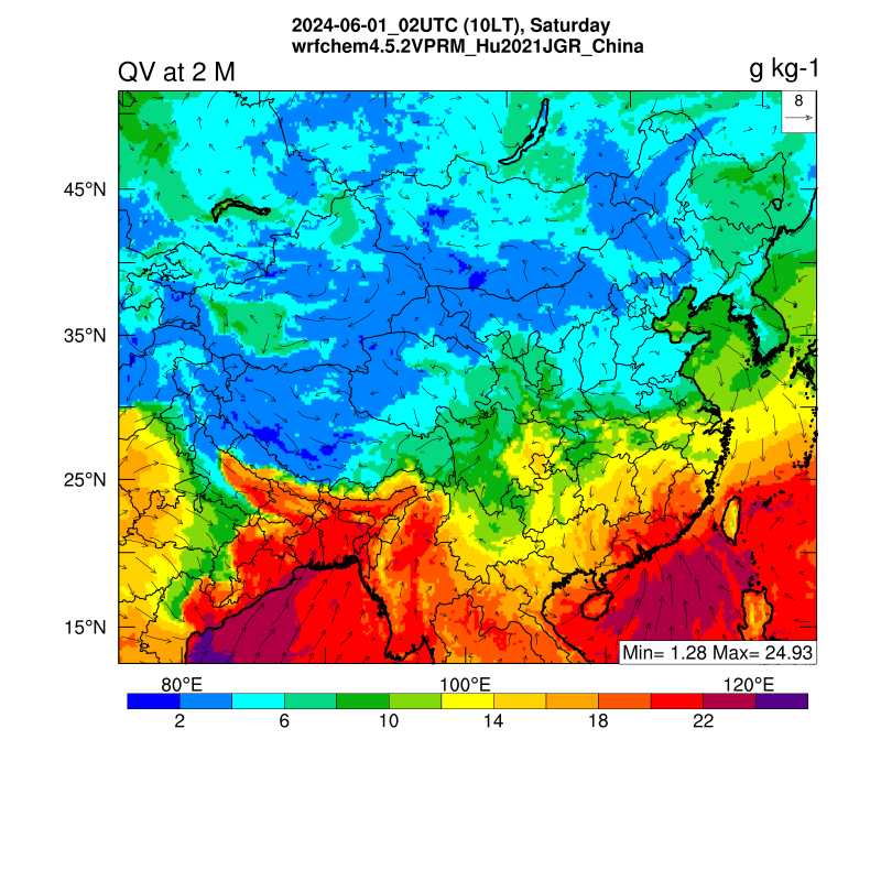
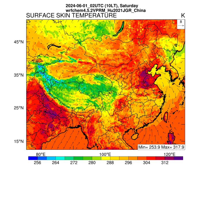
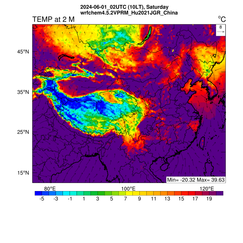
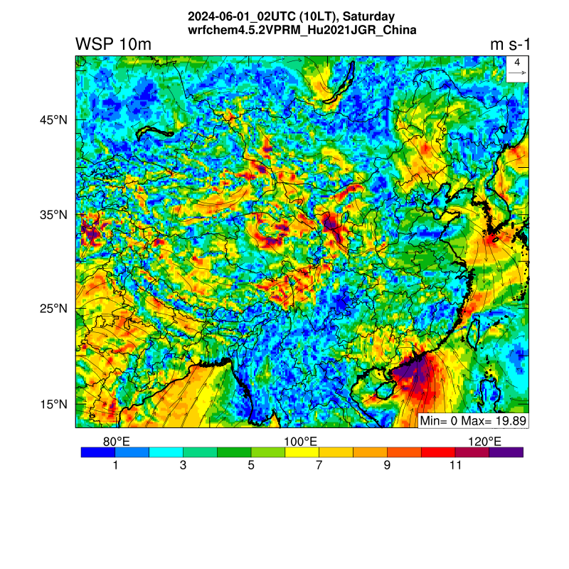
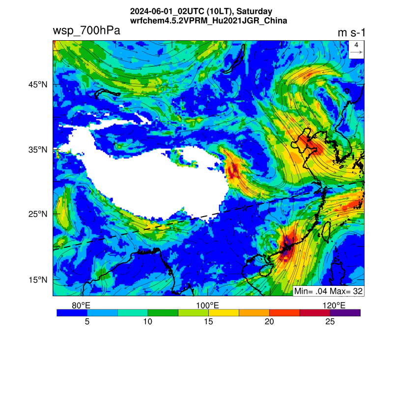
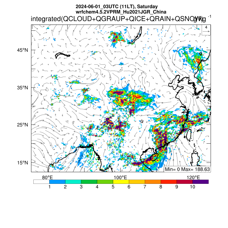
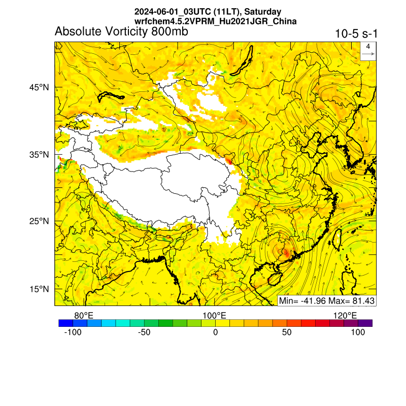
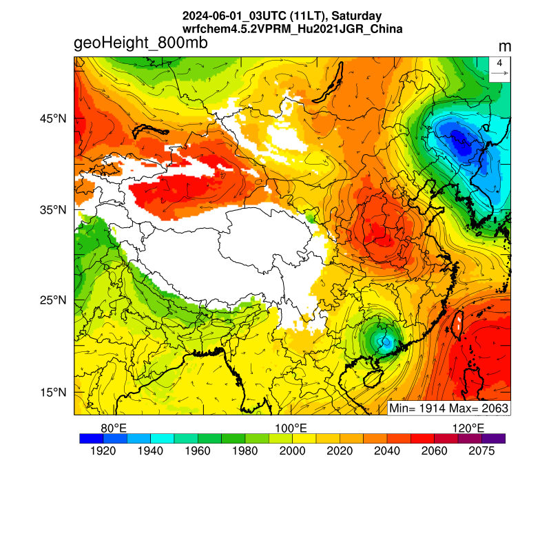
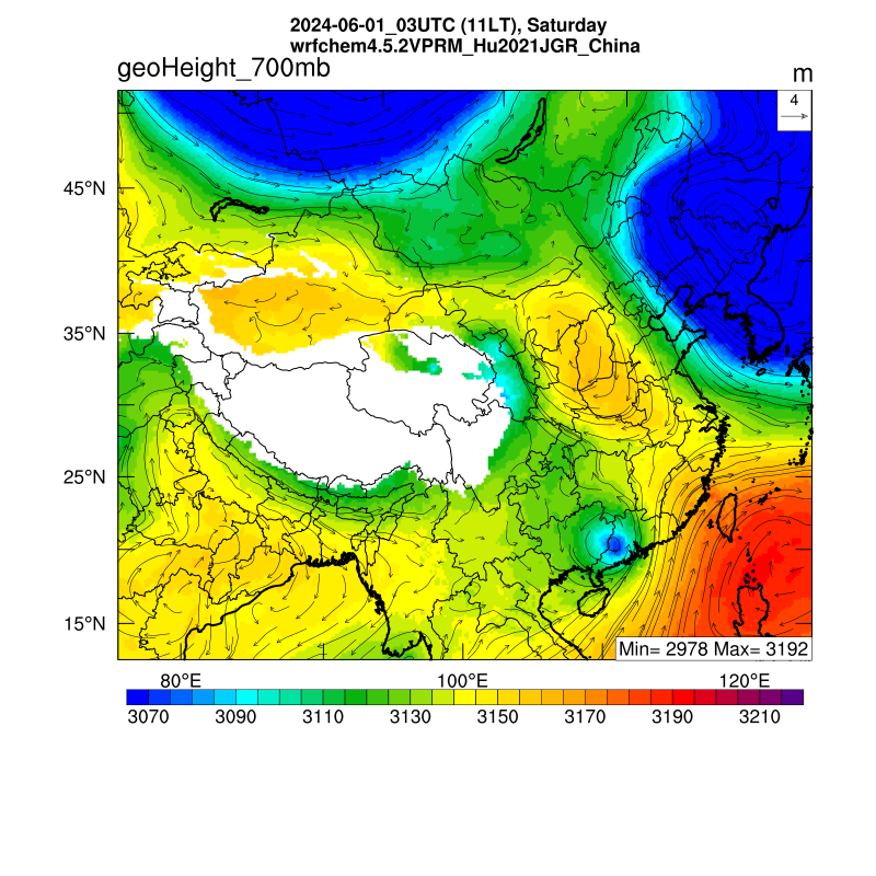
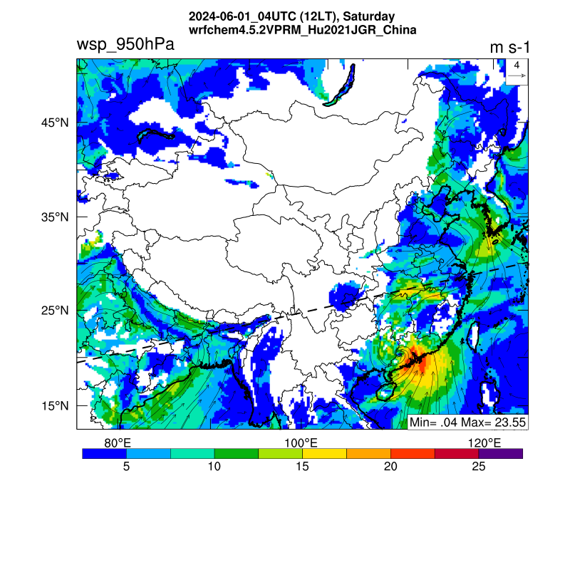
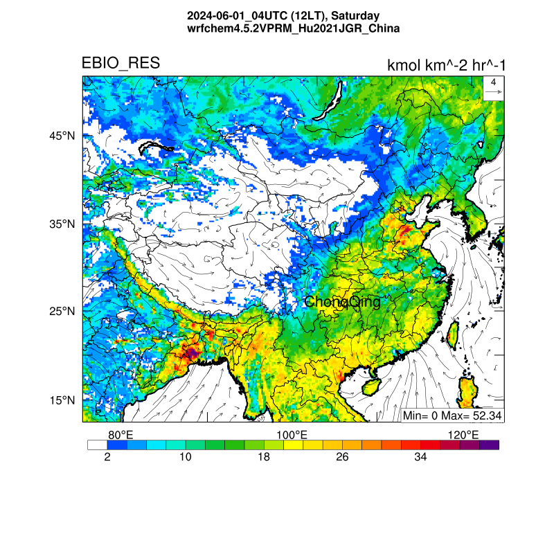
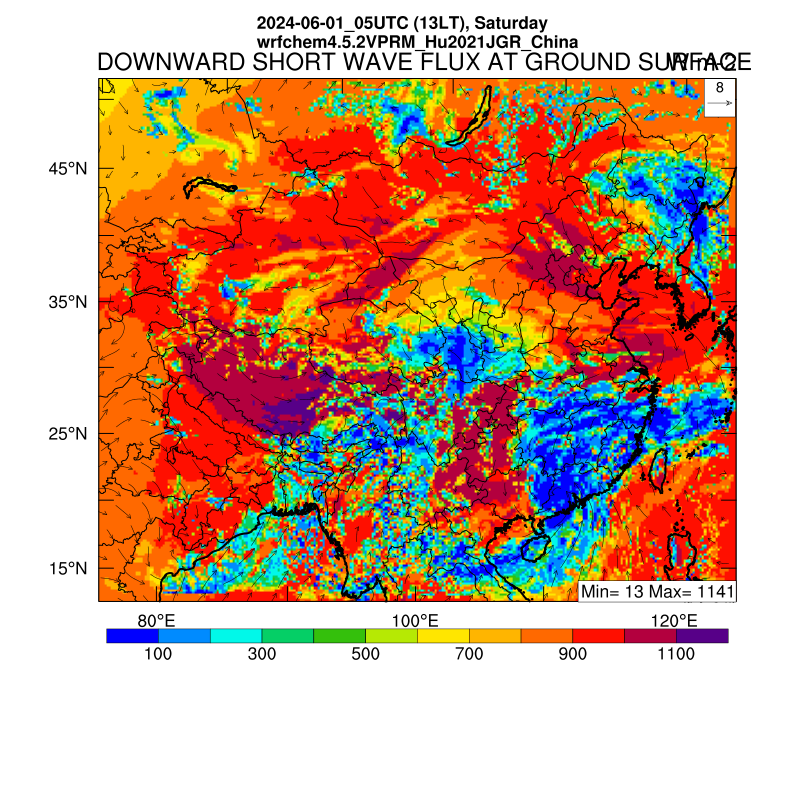
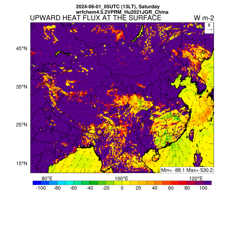
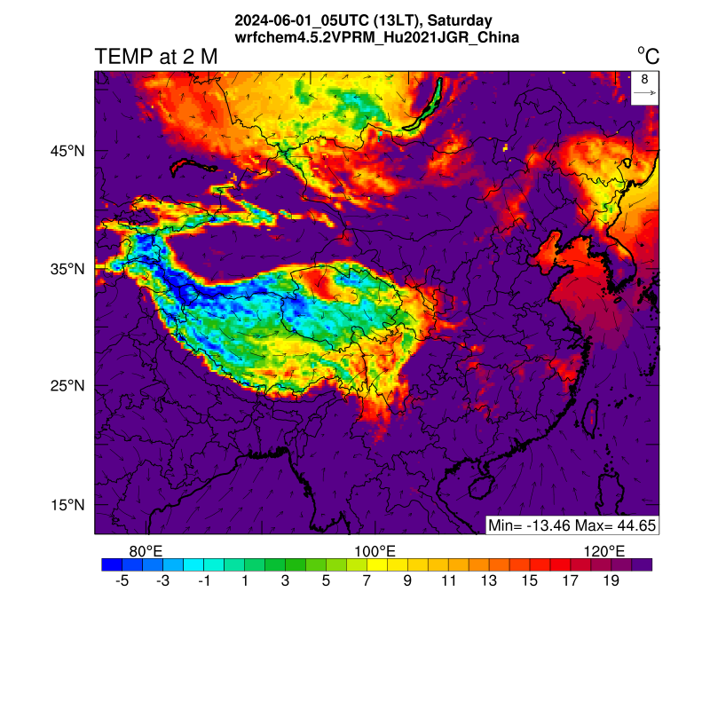
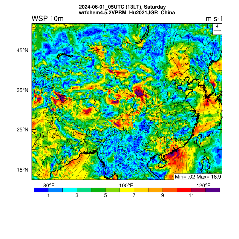
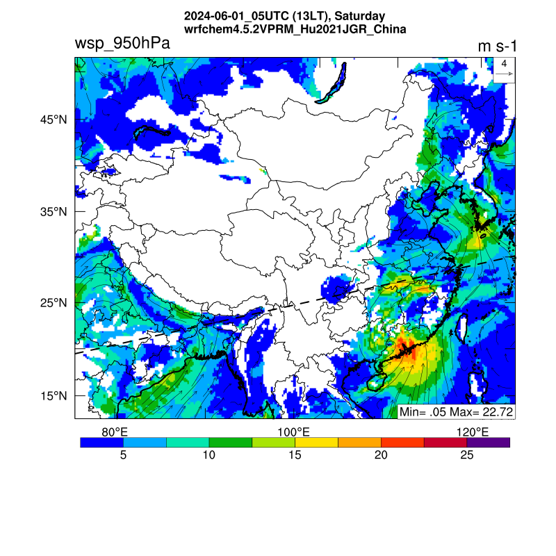
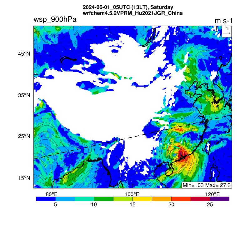
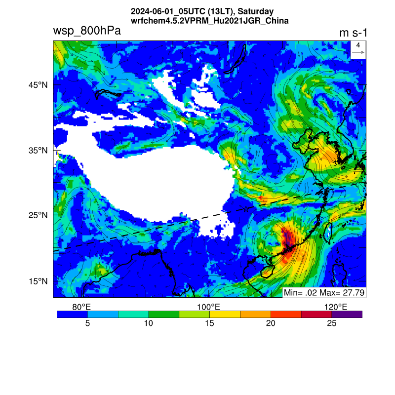
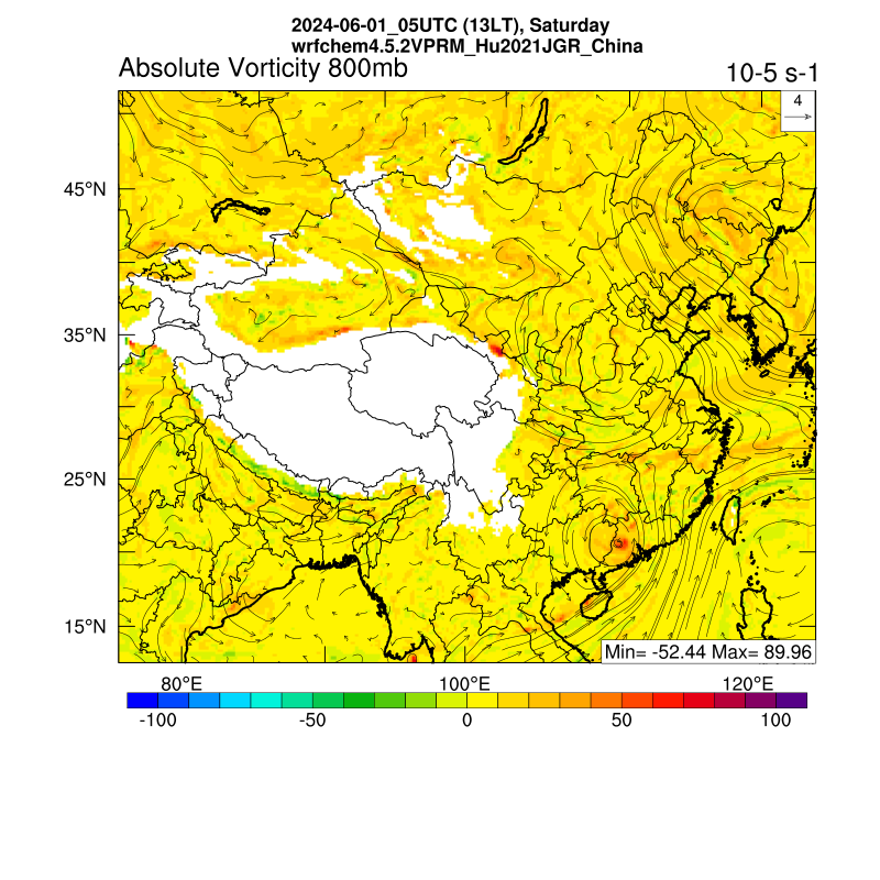
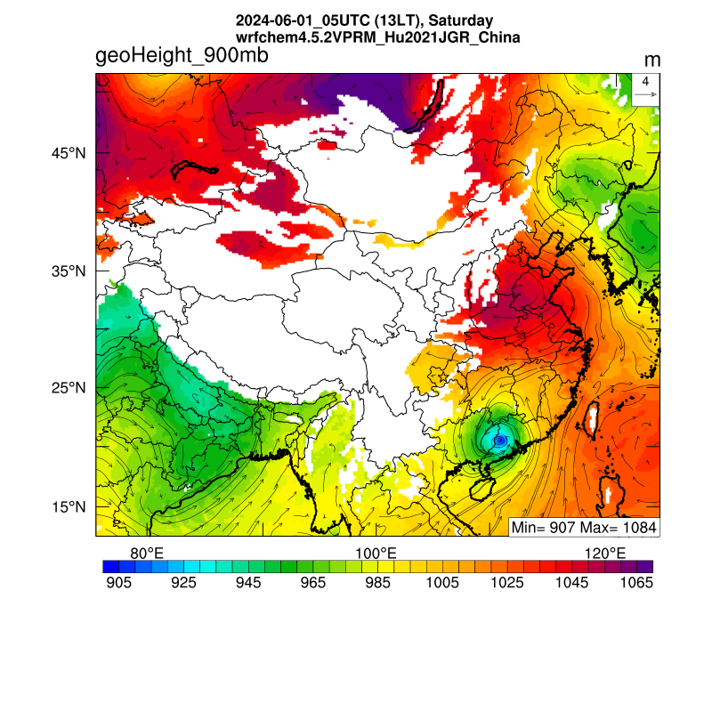
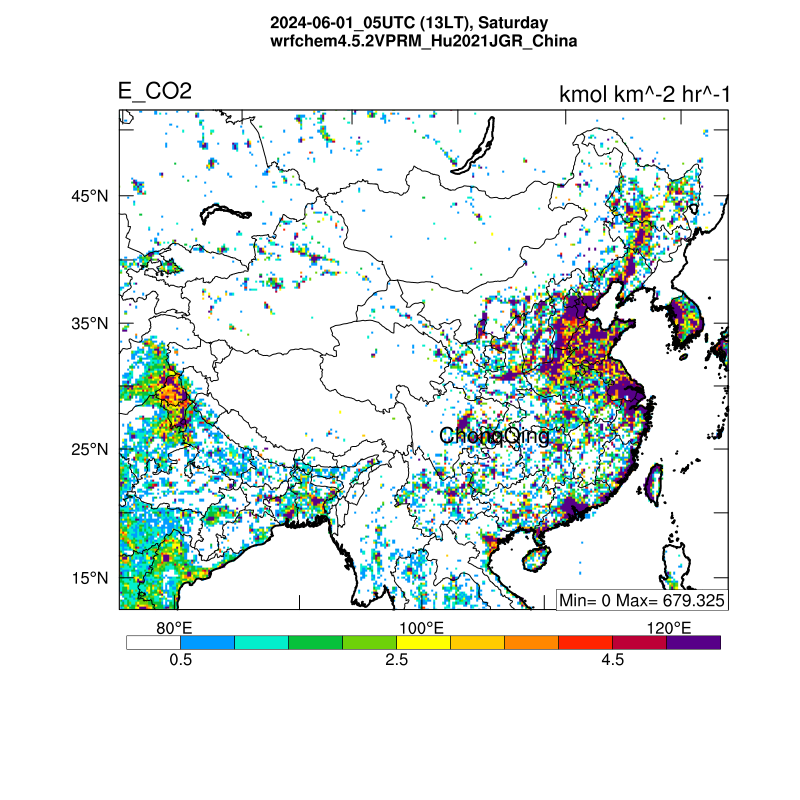
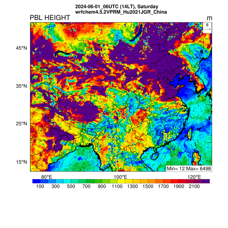
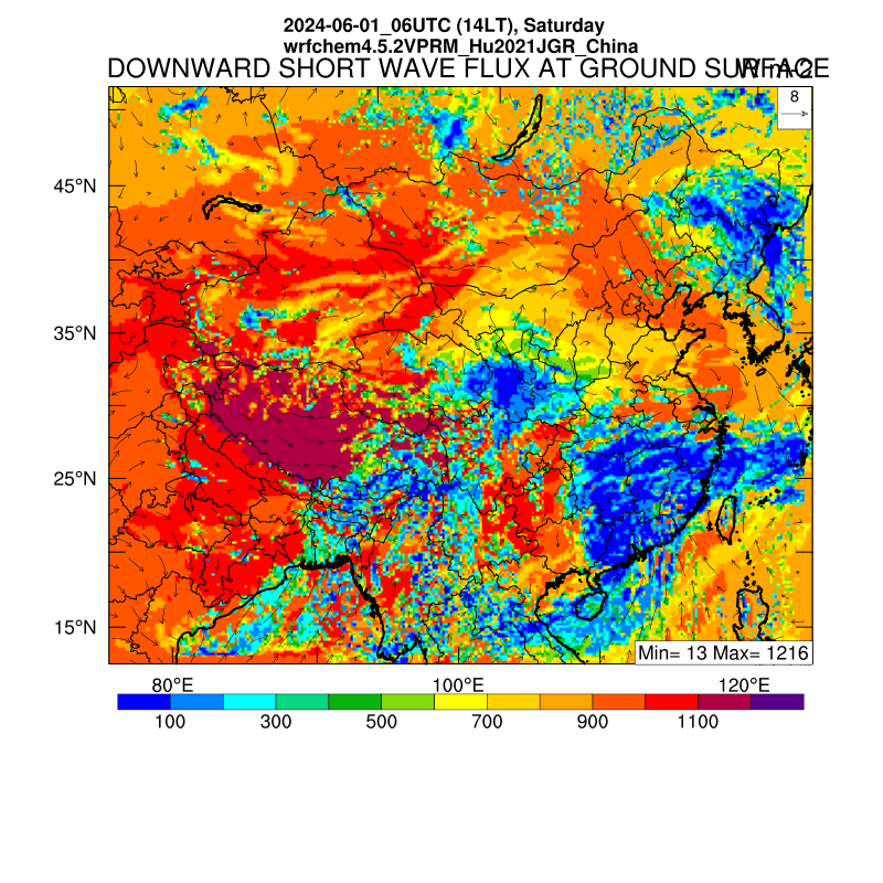
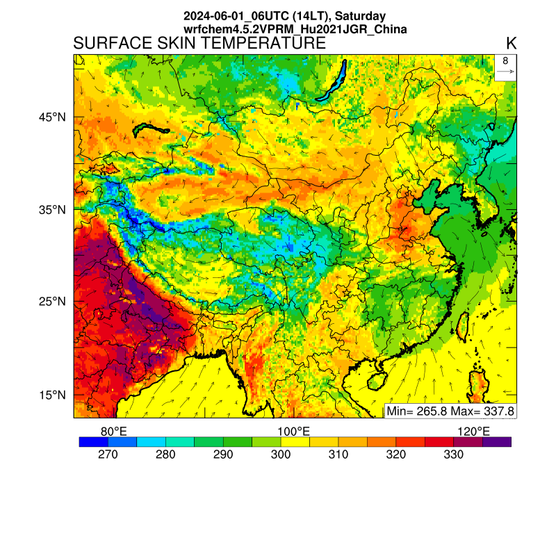
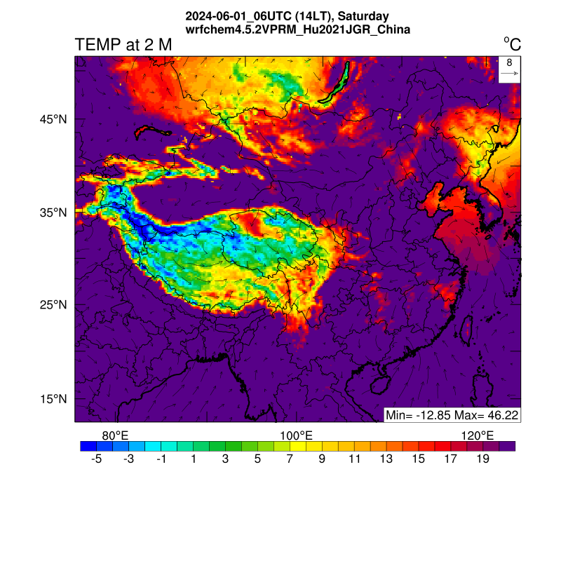
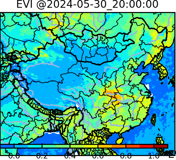
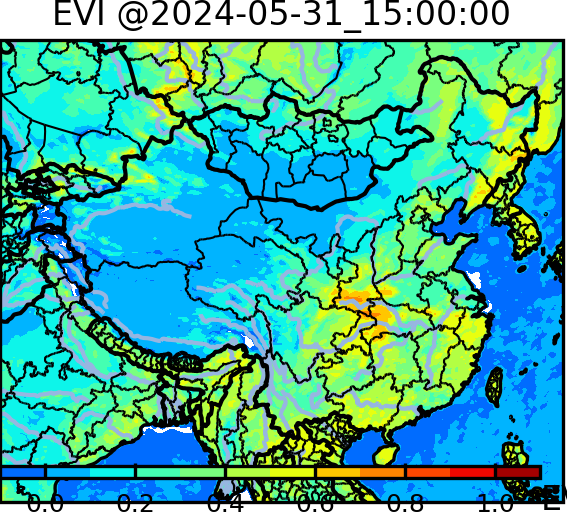
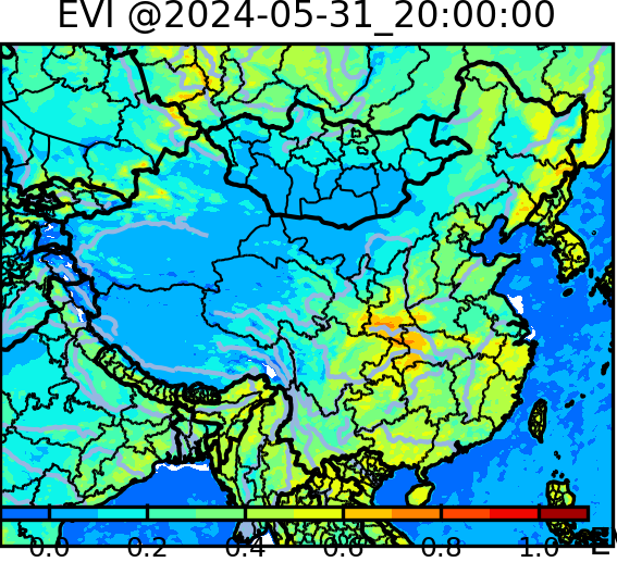